Click on photos for more information.
The Hockett Trail, Meadow, and Ranger Station – Enduring Southern Sierra Legacies
by Laurie Schwaller
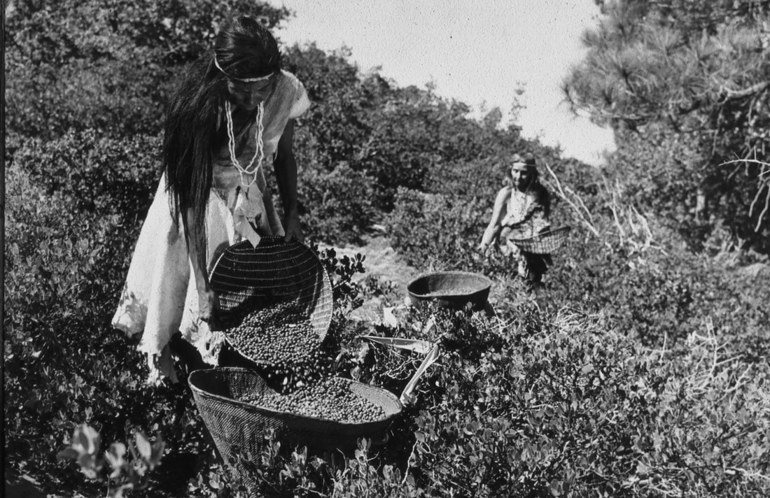
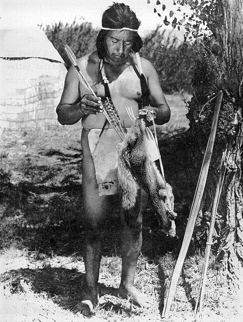
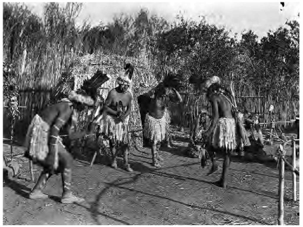
For countless centuries, Native Americans in what is now Tulare County traveled into and across the vast, rugged southern Sierra Nevada to avail themselves of its abundant resources. Following the courses and canyons of its streams and rivers, the blue and green chains of its little lakes and lush meadows, and the purposeful paths of its wildlife, they hunted and fished, gathered useful plants and seeds, escaped the San Joaquin Valley’s scorching summer heat, and visited and traded with the people who lived in the huge Owens Valley on the other side of the range.
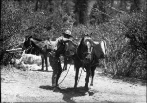
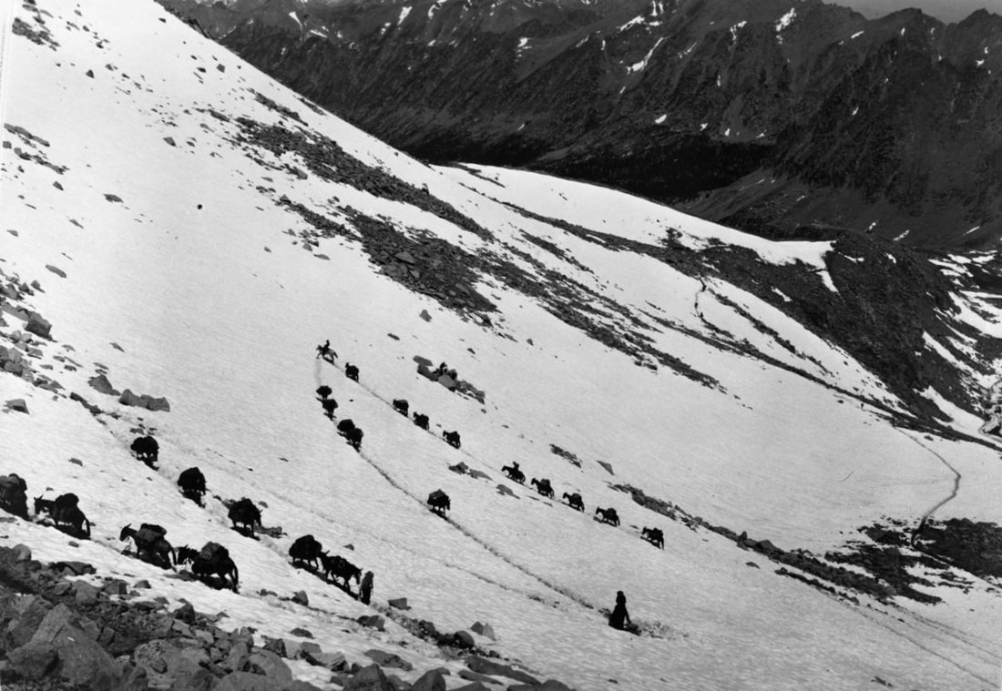
In the 1800s, new groups of people from far away began coming into these mountains to exploit their resources on a much greater scale. Prospectors, miners, hunters, trappers, cattlemen, sheepmen, loggers, and mule packers transformed the ancient trails and the landscapes they traveled through.
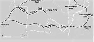
In the 1860s, two men, John Jordan and then John Benjamin Hockett, contracted to build trans-Sierra pack trails under the authority of the Tulare County Board of Supervisors. The Jordan Toll Trail, constructed in 1861-62, extended almost 100 miles from Yokohl Valley to near Olancha at the southern end of Owens Lake. Hockett’s Toll Trail was authorized in December, 1862, and built in 1863-64 to connect Visalia to Lone Pine. It traveled up the South Fork of the Kaweah, crossed the Hockett Plateau, incorporated parts of the Jordan Trail, and finally descended near Cottonwood Pass to the Owens Valley. For the next forty years, it served as the principal trail route across the Southern Sierra.
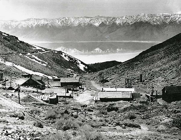
Harry O’Farrell, a meat-hunter for the Hockett Trail crew, discovered the Mineral King valley in 1864 while searching for game to feed the workers. Union Army troops traveled the trail from Camp Babbitt in Visalia to help protect the Coso silver mines and Camp Independence in the Owens Valley. Ranchers drove their livestock up the trail to feed on mountain meadows in the summer.
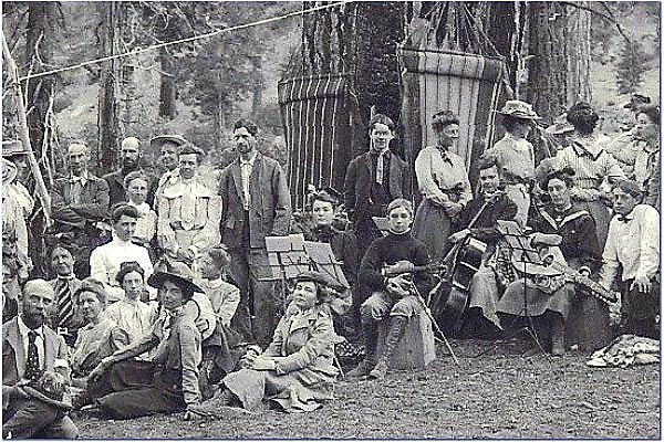
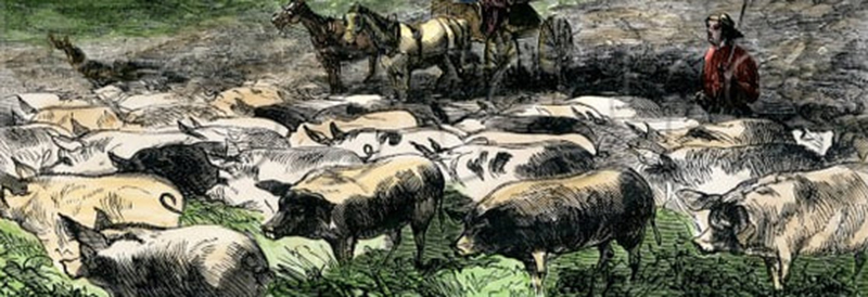
In the 1870s, these trails and the new Mineral King road, built in 1873, were being used by increasing numbers of recreationists — campers, mountaineers, adventurers, fishermen, hunters, and nature enthusiasts. Most traveled with pack trains. Tremendous overgrazing, especially by herds of thousands of sheep, caused extensive erosion, depleted or eliminated plants and forage, and severely damaged the trails. Those who thought of the future believed that uses of the mountains and their resources would have to be regulated and even halted in some areas if their destruction were to be avoided.
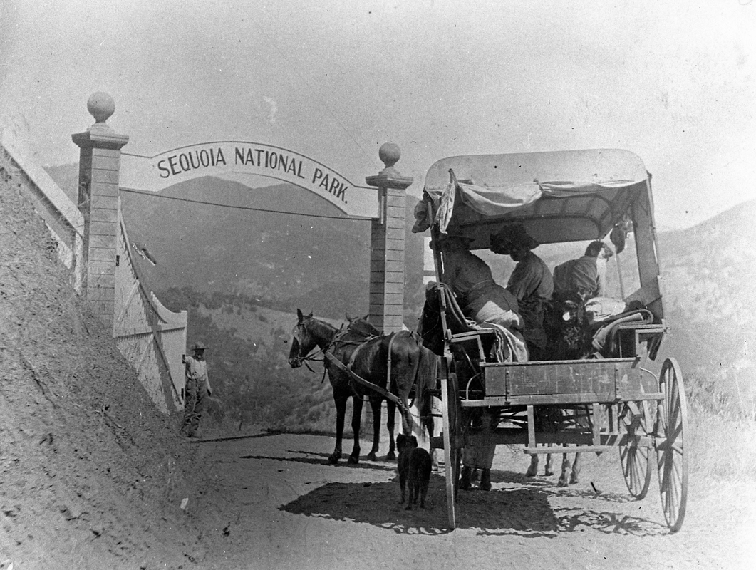
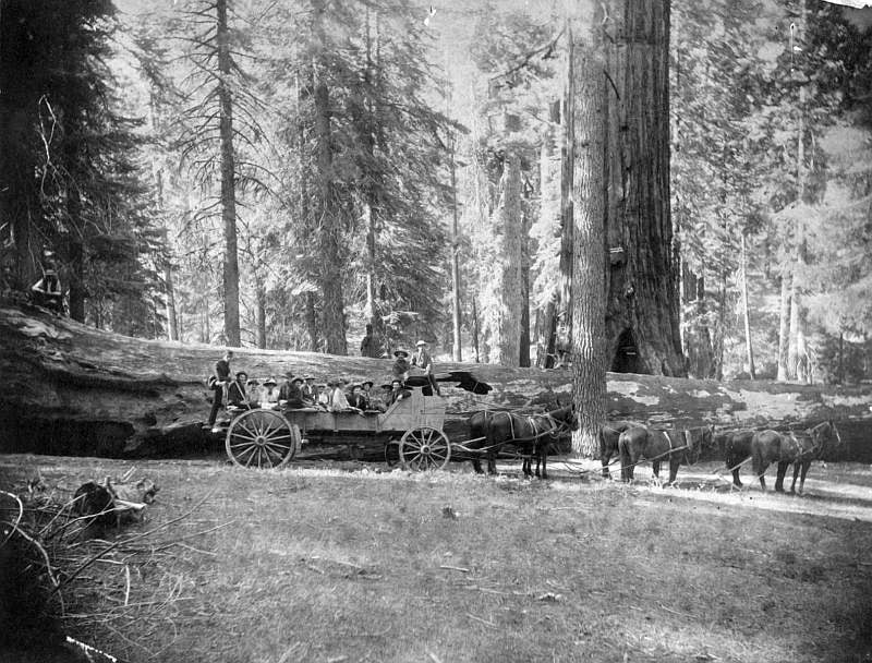
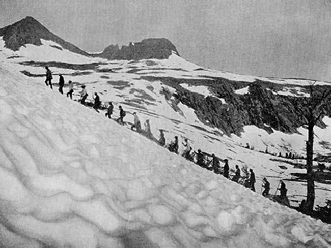
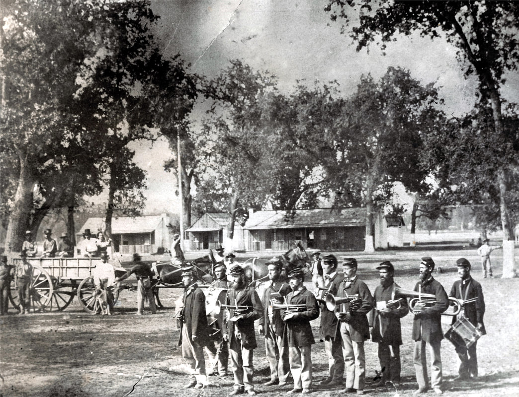
In 1890, Sequoia National Park was established (initially, only one-third its current size). Its mission was to protect the land and resources within its boundaries to provide “a public park, or pleasure ground, for the benefit and enjoyment of the people.” Clearly, the unregulated, unfettered exploitation had to be stopped inside the park. This became a chief duty of the U.S. cavalry troops assigned to administer Sequoia starting in 1891.
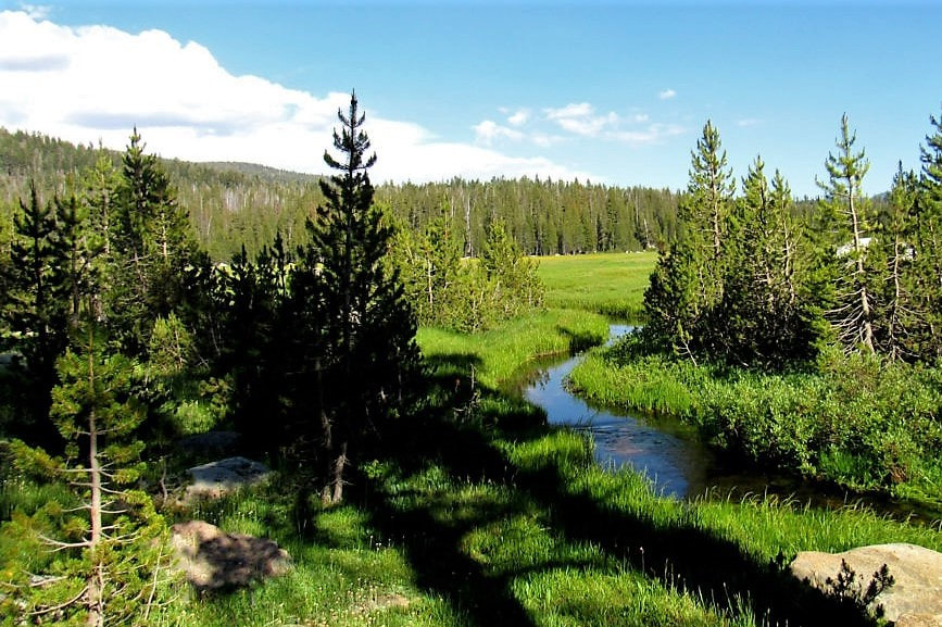
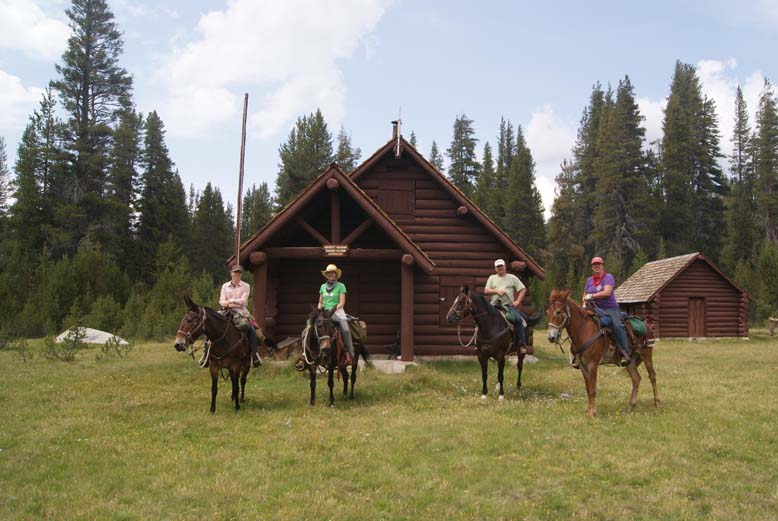
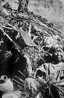
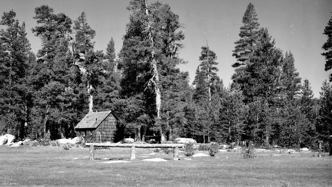
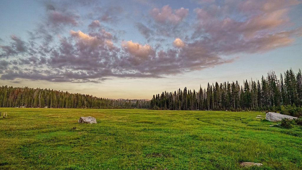
Patrolling the big, rugged park meant good trails were needed. The Hockett Trail was ready-made for use by the troops guarding the park’s southern boundary. To facilitate the soldiers’ work, four civilian rangers had been hired and a series of cabins began to be envisioned along the patrol routes. By the summer of 1906, two had been constructed on the trail to Giant Forest and one was underway at Hockett Meadow, about 3-1/2 miles north of the Hockett Trail at an elevation of 8500 feet.
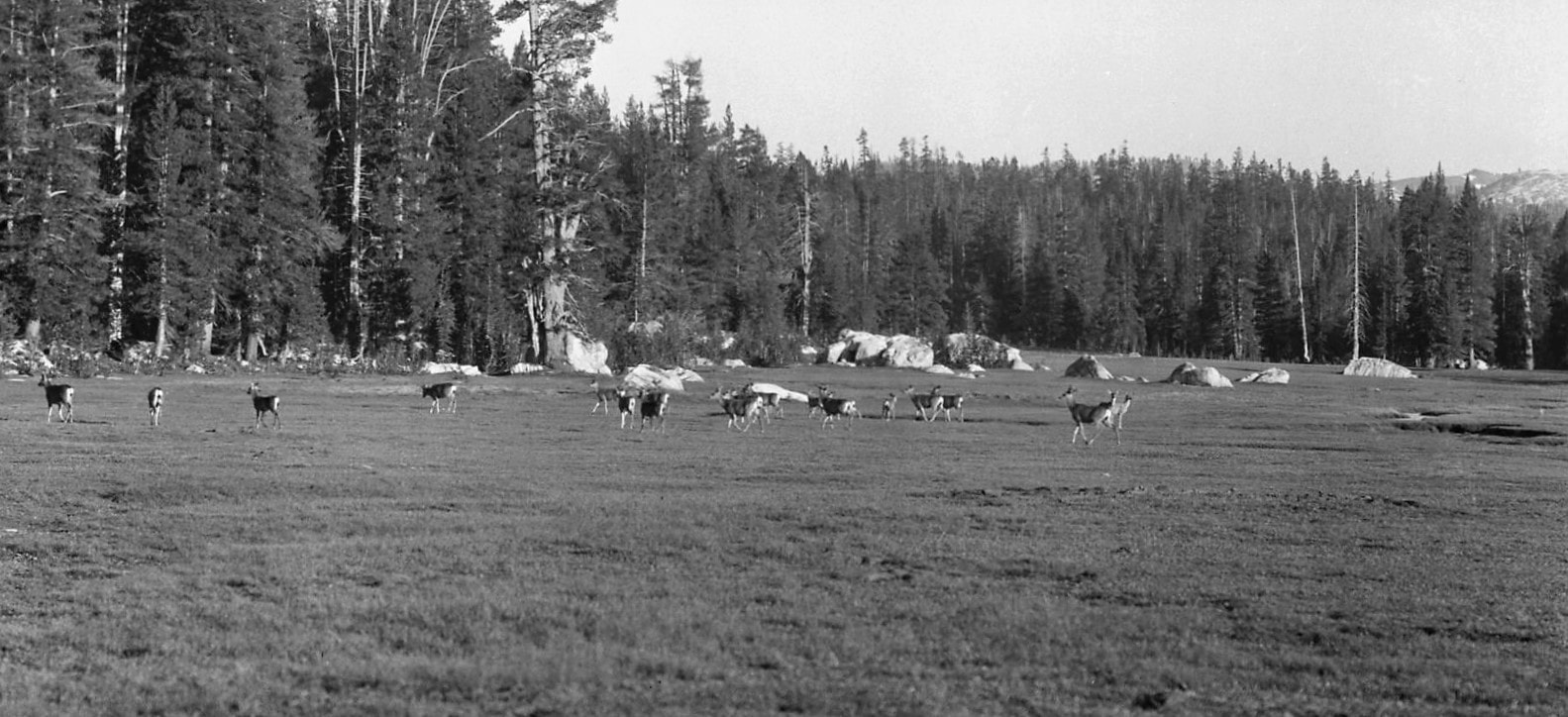
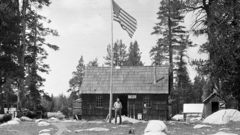
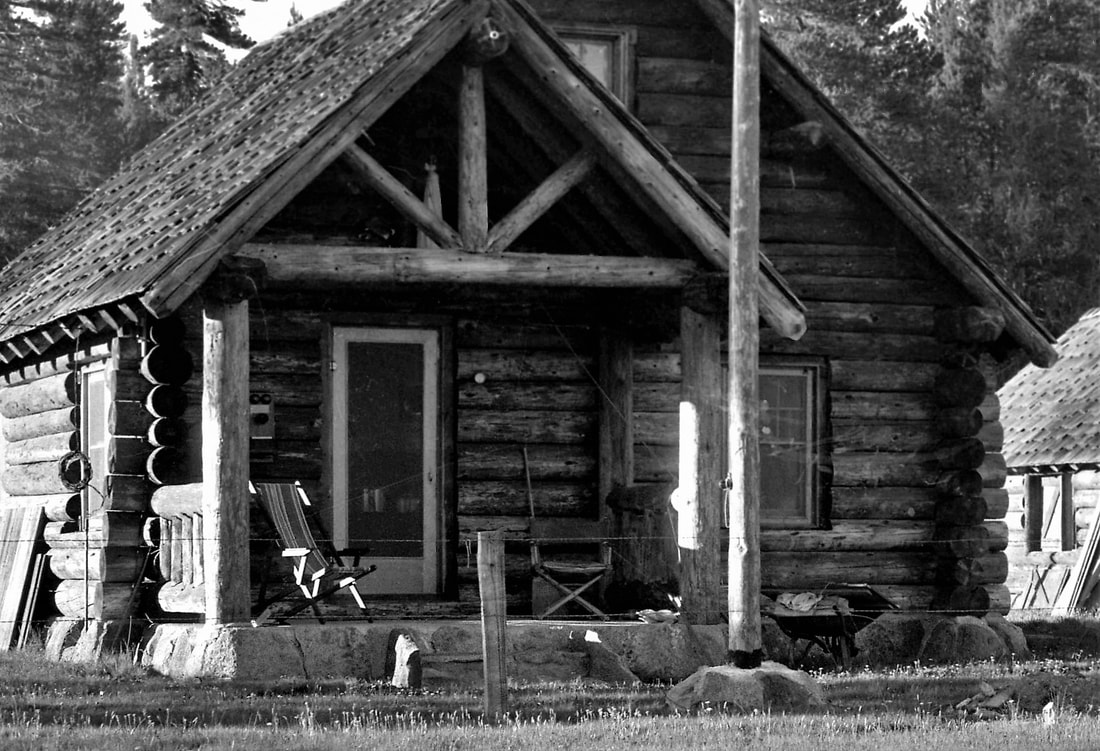
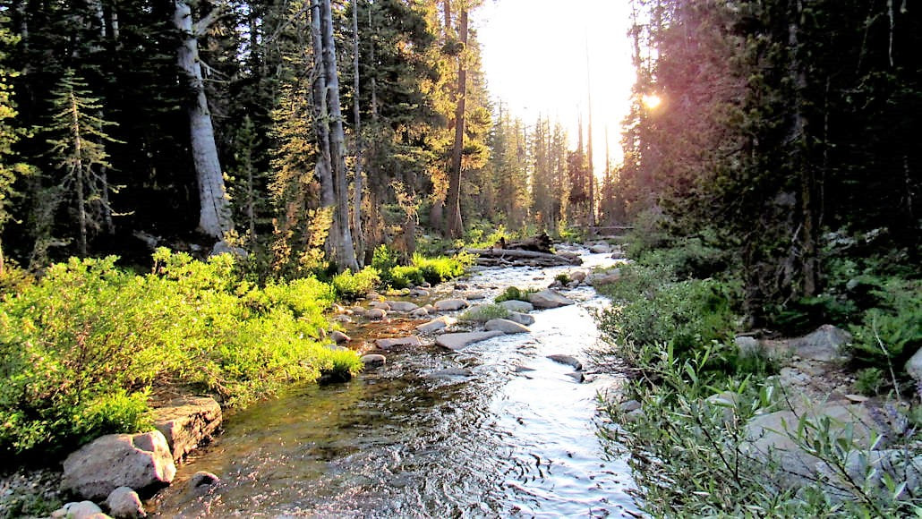
This prime location was directly south of Atwell Mill and Silver City, where the Army troops were headquartered for the summer. It provided good water from Whitman Creek, good fishing, plenty of deer in the broad, lush meadow, and fine forage for pack and riding stock. The original sturdy cabin, with its shake walls and roof, glazed windows, and large rock outside the front door, served the park’s rangers until 1934, when Civilian Conservation Corps workers built a new ranger station to the east of it. The 1906 building continued to provide accommodations for work crews until it was badly damaged by the heavy winter of 1968-69, and then razed by the Park Service.
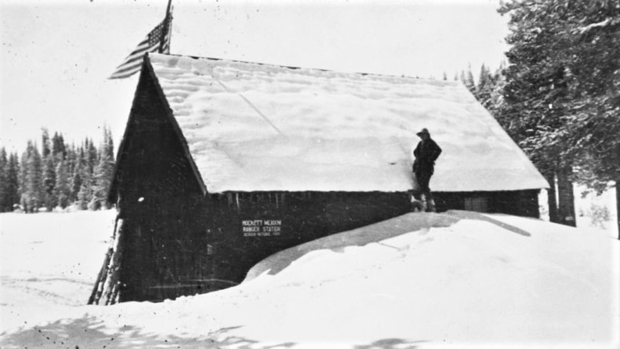
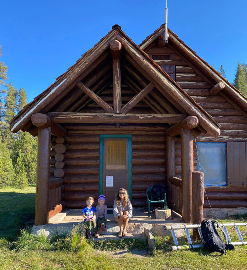
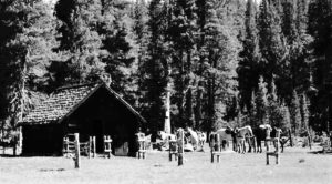
In 1934, along with the new ranger station, the CCC constructed an adjacent barn and, in the forest near Hockett Meadow, a trail camp for tourists and a short-term (“stub”) camp for work crews. The 1934 ranger station continues in use today, serving backcountry rangers, trail crews, snow surveyors, and weather station and meadow monitors. Its companion barn provides storage space and houses tack and feed for ranger and crew livestock.
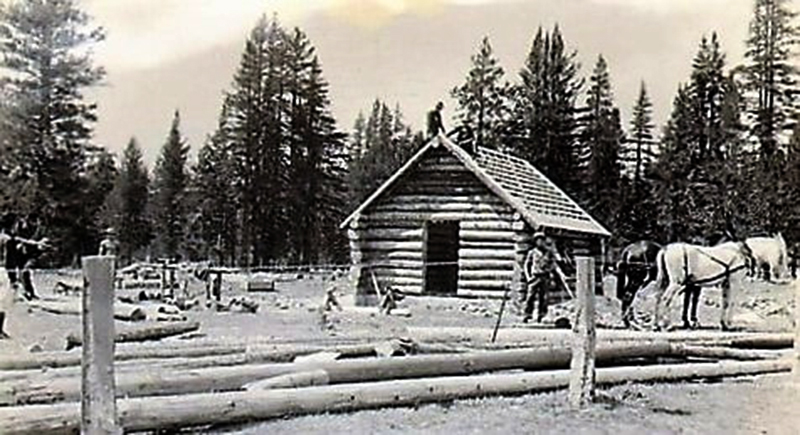
The Hockett cabin measures 23 x 33 feet, with two bedrooms and a kitchen-living room. The wood-burning cooking range also heats the interior and vents through the stone chimney in the center of the roof. The log walls rest on a concrete foundation veneered with native stone. An inviting stone-floored porch, 12.5 feet long and 7 feet wide, frames the entry door. The gable roof was originally made of shakes. Later it was covered with aluminum, but the metal has since been replaced with shakes, returning it to its original appearance.
The barn stands just northeast of the cabin. It, too, is built of logs supported on a stone foundation and capped with a shake roof. It measures 17 x 26 feet outside and 13 x 17 feet inside (the battered pattern of the log corner joints adds to the exterior dimensions).
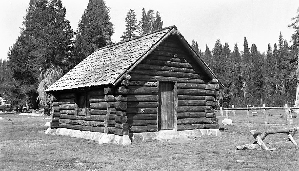
Both structures are excellent examples of National Park Service rustic architecture, also called “Parkitecture.” The natural, native materials of their exteriors — the lodgepole pine logs, hand-cut shakes, and granite rock facings on the concrete foundations — enable them to harmonize with their surrounding landscape. Their design and workmanship are compatible with the work of early pioneers in the Sierra Nevada. Recognized for their significance in both architecture and landscape architecture, the two buildings were listed on the National Register of Historic Places in 1978. They are also culturally significant, because they were constructed by workers in the CCC, the most concerted social program ever to occur in the area.
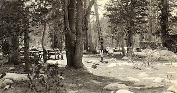
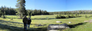
Today’s visitors can still hike or ride on the old Hockett Trail to admire these iconic buildings. Carefully maintained and restored over the years by Park craftsmen, the cabin and barn continue to look just as they did when skilled CCC workers built them in 1934. Deer still graze together with pack and saddle stock on verdant Hockett Meadow. And the Park’s backcountry rangers continue to protect the park and its visitors, just as they have for over 100 years, by patrolling from Hockett Meadow’s ranger station
May, 2020
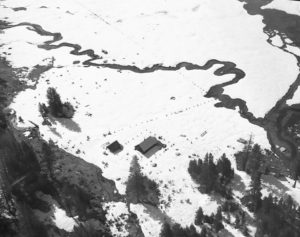
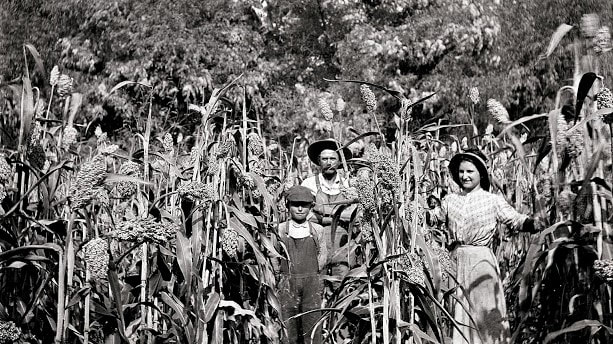
Hockett Meadow Ranger Station is centrally located on the Hockett Plateau in the southeast section of Sequoia National Park, about 11 miles south of Silver City as the crow flies. The thick dark line marks the park boundary.
“With discovery of silver in the Coso Range almost directly east of Visalia the desirability of a short cut across the mountains was obvious.” — Los Tulares, #64, March, 1965
“There is no longer a shadow of doubt that by the time the next crop is ready for market, there will be a rich, industrious population across the mountain, ready to buy and pay for everything which this valley can produce . . . . [They] . . . will be delving and blasting in these mines, taking out gold and silver in millions, and calling on the Tulare Valley to receive it, in exchange for flour, barley . . . potatoes, beef, pork, green and dried fruits, beans, eggs, butter, cheese, honey, and in fact everything which is consumed by American miners.” — Visalia Delta, November 6, 1862
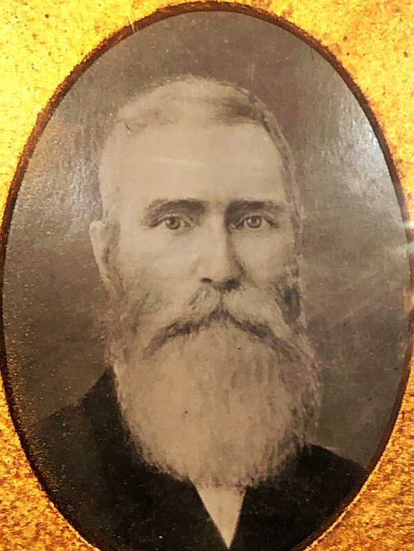
John Benjamin Hockett, an Alabama native, at age 22 in 1849 when the California Gold Rush began, “wasted no time in hooking up with a westward-bound wagon train to seek his fortune. . . . Although Hockett tried his hand at mining, he quickly turned to another enterprise — packing supplies from Stockton to the mining camps, . . . ‘a business which he found very lucrative.'” — The Porterville Recorder, May 24, 2002
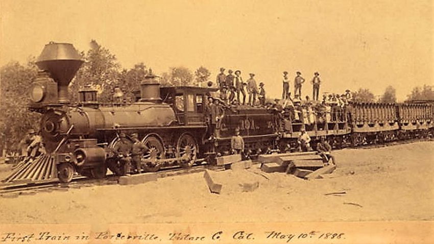
“By 1859, Hockett had relocated again and was running a business in Visalia. . . . He died at the age of 71 in May 1898, 10 years after bringing the railroad through town [Porterville, to which he had moved in 1864], and four years before Porterville was incorporated as a city.” — The Porterville Recorder, May 24, 2002
“The Tulare County Board of Supervisors issued a franchise December 11, 1862, to Henry Cowden, Lyman Martin and John B. Hockett ‘to build a pack trail at a point in the Tulare Valley near where the Kaweah river leaves the foothills and thence easterly across the Sierras to the foot of Big Owens Lake between Haiwee Meadows and Lone Pine.'” — Annie R. Mitchell, Sites to See, 1983
“On August 5, 1864, Cowden presented a sworn statement that the three men had finished the trail at a cost of $1,000 and asked permission to charge tolls. The supervisors set the tolls at: mule or horse, fifty cents each; head of cattle, twenty-five cents each; sheep or hogs, five cents each; man on foot, twenty-five cents each. The Hockett Trail was well marked and shortened the earlier Jordan Trail.” — Annie R. Mitchell, Sites to See, 1983
“The Hockett Plateau includes vast rolling forests of lodgepole pine surrounding spectacular subalpine meadows. The area is a favorite destination for equestrians, backpackers and anglers, people who, like all of us, like to enjoy our mountains. . . .” — House of Representatives bill H.R. 3022, March 10, 2008
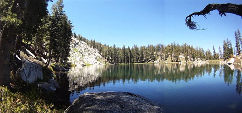
“The Hockett meadows, containing about one hundred sixty acres of land lying on the plateau region near the head waters of the south fork of the Kaweah, are desirable camping places. The elevation is about eighty-five hundred feet and in consequence the climate during the summer is cool and bracing. Lake Evelyn, one of the most beautiful of mountain lakes, is distant about three miles.” — Eugene L. Menefee and Fred A. Dodge, 1913
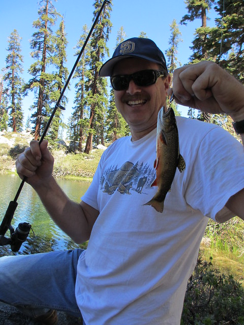
“There is excellent trout fishing in Hockett meadow creek, in Horse creek, one and one-half miles away, and in the waters of the south fork, two miles away. The park line is distant but a mile and a half, so that hunting for deer, which are here numerous, is within easy reach.” — Eugene L. Menefee and Fred A. Dodge, 1913
“[F]ive ranger cabins have been built, horse pastures for the use of rangers fenced, and one hundred and twenty-nine miles of streams stocked with trout. . . . The first ranger for park duty was appointed in 1900 [sic], and the force has since been increased to five . . . .” — Eugene L. Menefee and Fred A. Dodge, 1913
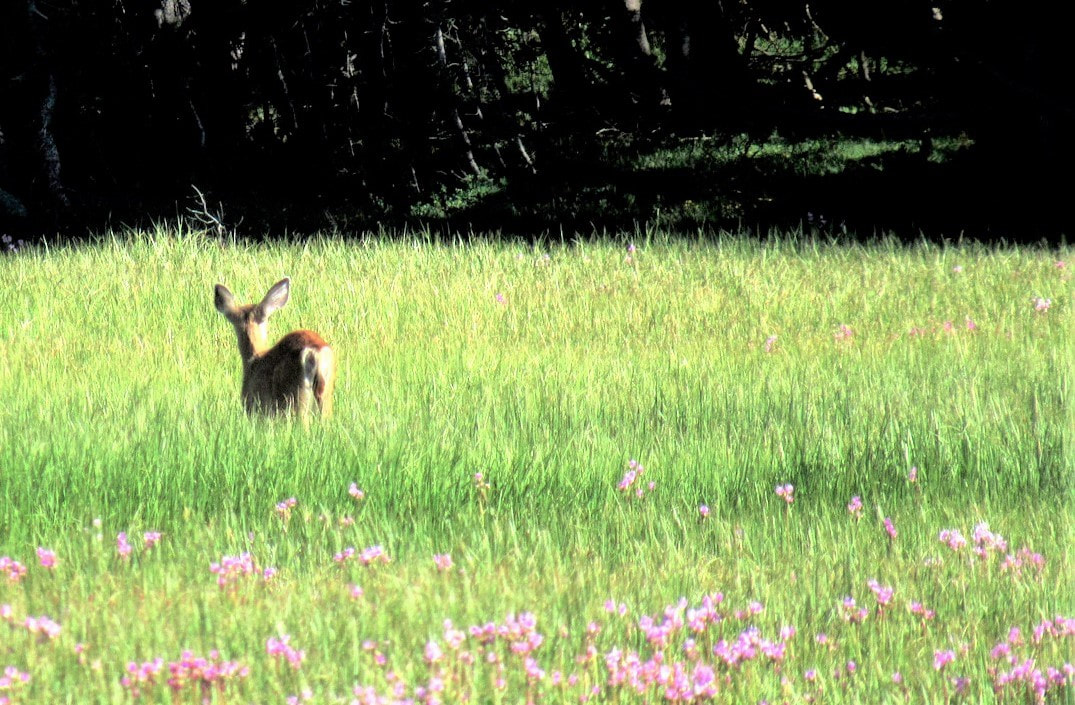
“Hockett Meadow . . . is a lush, subalpine gem that attracts an abundance of wildlife. The nearby ranger station, itself a historic structure, houses a friendly ranger who can offer support and suggestions. . . . [P]rovided you time your arrival correctly (usually late June through July), you should see a dazzling array of wildflowers. Mule deer browse through this buffet, and black bears occasionally amble by.” — modernhiker.com
“Before you spreads the impressive expanse of verdant Hockett Meadows. The vast spread of grass beyond the fenced area attracts large gatherings of deer, most often seen at dusk.” — J.C. Jenkins and Ruby Johnson Jenkins, 1995
Directions:
NOTE: Hockett Meadow Ranger Station is accessible only by foot/stock trail. Trailheads at several starting points provide access. The ranger station is about 12 miles in from most of these trailheads. NOTE: Wilderness Permit required for overnight trips: Plan your visit/wilderness permits
A) Most visitors start from the Mineral King area and travel via the Atwell-Hockett Trail or the Tar Gap Trail. For this approach, from Visalia, take Hwy 198 east through most of Three Rivers. Two miles before the main Sequoia park entrance, watch for the National Park mileage sign on your right, at the junction with Mineral King Road. NOTE that Mineral King Road is narrow (sometimes single lane), steep, winding, and partly unpaved, and is not recommended for RVs or trailers. It is about 19 miles from this junction to Atwell Mill campground, trailhead for the Atwell-Hockett Trail; it’s about 23 miles to Cold Springs campground, trailhead for the Tar Gap Trail. Proceed past these campgrounds to the Mineral King Ranger Station (on your left, just beyond Cold Springs campground) where you must pick up your Wilderness Permit prior to overnight stays in the Wilderness, then backtrack to the appropriate campground and your trailhead.
Directions:
B) Hockett Meadow Ranger Station is also accessible via the Garfield-Hockett Trail, which begins at South Fork campground, reached via South Fork Drive in Three Rivers.
From Visalia, take Hwy 198 east to Three Rivers and note the junction with South Fork Drive, on your right. However, do not exit here. You must first drive 5 more miles east on Hwy 198 to the main Sequoia park entrance (fee) and then continue to park headquarters, to the Wilderness Office, near the Foothills Visitor Center, to pick up your Wilderness Permit prior to any overnight stay in the Wilderness.
Then return to South Fork Drive and follow it east for 12.3 miles. The paved road ends a short distance before you reach South Fork Campground, and a rough dirt road, not recommended for vehicles with low clearance, continues to the campground area, where you will find the sign for the Garfield-Hockett Trail.
NOTE: South Fork campground and its access road were heavily and extensively damaged by floods and landslides from 2022-2023 winter storms. The campground is closed until further notice, the dirt road is completely impassable to vehicles, no potable water is available, and trucks and RVs are not permitted.