Click on photos for more information.
The Story of Lake Kaweah
by Paul Hurley
Nature instigated the creation of Lake Kaweah. The story of this Tulare County treasure chronicles a classic struggle between nature and humanity, in which nature repeatedly exerts its power and humanity stubbornly shrugs it off.
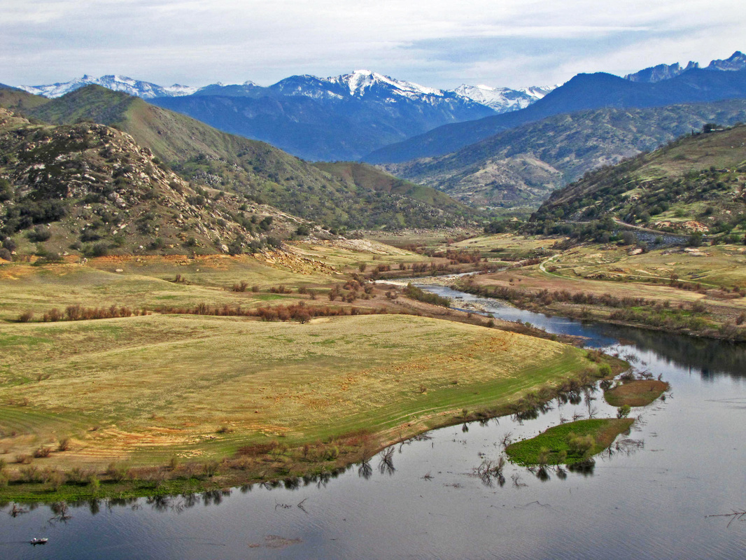
The conditions that led to the creation of Lake Kaweah might be unique in North America. From its headwaters at an elevation of 12,000 feet in the Sierra Nevada the Kaweah and its tributaries create one of the steepest cataracts on the continent. Its waters drop to the San Joaquin Valley floor more than two vertical miles over a horizontal distance of 30 miles if it were drawn as a straight line on a map.
When tame, the Kaweah is a life-giver. Indigenous people thrived along this river for centuries before Europeans arrived. Cattleman Hale Tharp started a ranch at the confluence of the Kaweah River and Horse Creek in 1856 and lived there until his death in 1912. Prospectors, ranchers, and homesteaders pursued prosperity along the forks of the river and into its canyons and fertile flood plains.
But the Kaweah has a wild side. When conditions are right — warm rain melting mountains of snow or sudden torrential deluges cascading down the steep slope — it is a natural flood maker that has produced a devastating inundation on average about every 10 years.
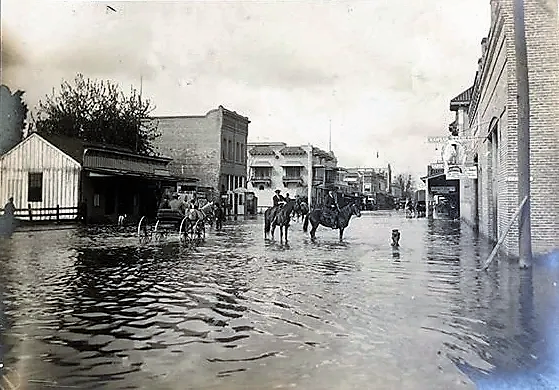
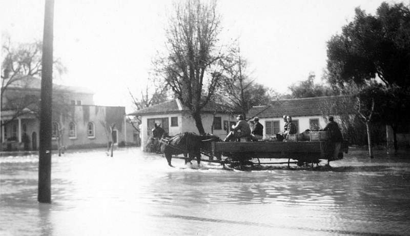
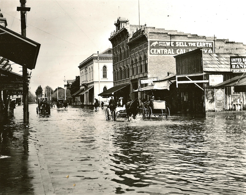
The river’s first documented flood, in 1862, was so powerful that it created a new channel, the St. John’s River, and wiped out a new town built along a small Visalia creek. Visalia itself was immersed in four feet of water, and people used boats to get around. In 1867, it began raining on November 1 and continued almost non-stop until late December. People in Visalia again got around in boats, not for the last time. The river flooded in 1877, 1884 and 1890.
In June, 1906, heavy winter snows rapidly melted under a spring heat wave and warm rains. The waters rose to a height of two feet on Visalia’s Main Street and stayed that way for two weeks. The Visalia Times-Delta suggested that the river be dammed to prevent future flooding. That was the first time it was proposed to build a dam, but it would not be built for another 56 years. A flood in 1914 again stirred talk of a dam, but the idea was easily quelled when the next two decades were relatively dry.
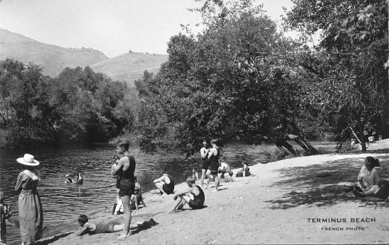
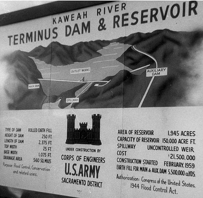
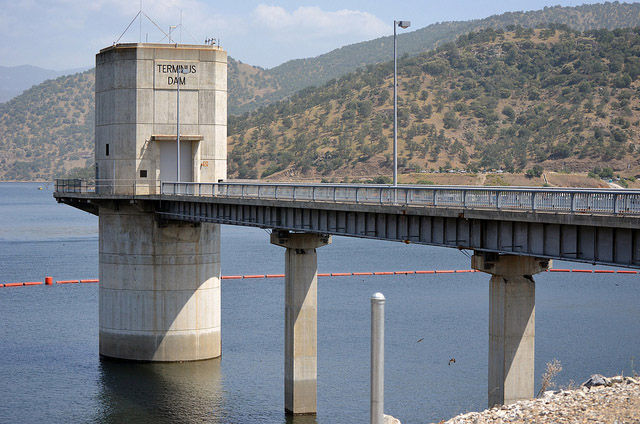
Then came the flood of 1937. It caused more than $15 million in damage to crops and property. More than 80 people on the valley floor died. Finally, some concrete steps were taken to dam the river. The U.S. Army Corps of Engineers determined the best spot for the dam was near Lemon Cove at Terminus Beach, a popular recreation spot since the 19th century.
The Kaweah was only one of many rivers in the nation to flood in the 1930s. Congress passed, and President Franklin D. Roosevelt signed, a series of flood control acts, including ones in 1937 and 1944. The 1944 act was directed mainly at flooding on the Missouri River, but it also authorized the building of Terminus Dam.
Although the Kaweah flooded again in 1943, 1945 and 1950, work on Terminus Dam stalled because of opposition by ranchers downstream over their water rights. The flood that broke the logjam of resistance arrived in 1955.
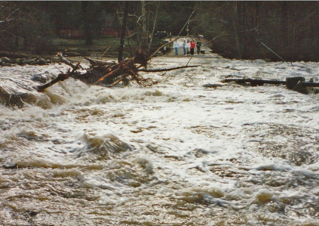
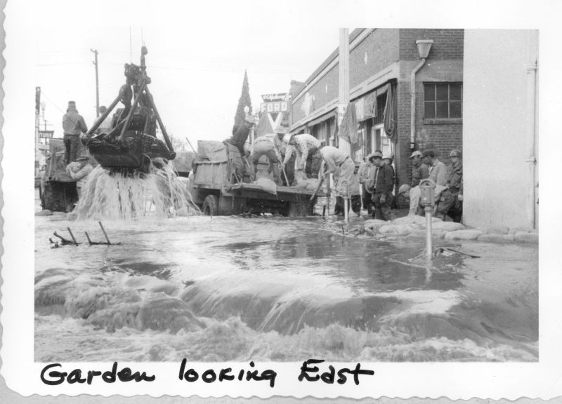
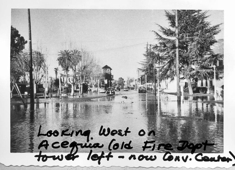
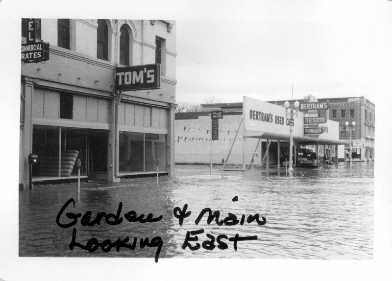
Snowfall had been heavy early that winter, and then warm, heavy rain began falling on the evening of December 22. Twelve inches of rain fell in 12 hours. The Kaweah soon crested, and water began barreling downstream into the valley. The volume rose to 85,000 cubic feet per second, wreaking destruction on Three Rivers, Farmersville, and Visalia. Water in downtown Visalia rose to more than five feet deep, and boats were used again. Floodwaters affected more than 100,000 square miles. Damage was estimated at $12 million to $20 million.
The 1955 flood galvanized the political will to build the dam. Newspapers demanded action. Local governments sent lobbyists to Washington, D.C. and pushed Congress to appropriate the money. The matter of ranchers’ water rights was set aside.
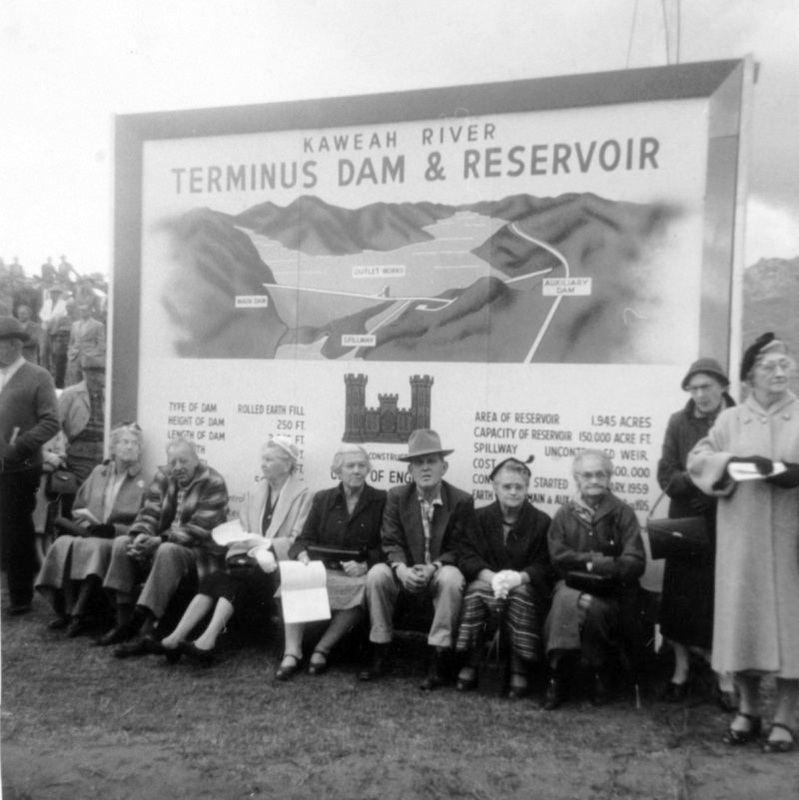
In 1956, President Dwight D. Eisenhower signed the legislation that authorized construction, and money was appropriated in 1958. Construction began in February, 1959, and the project was completed in November, 1961, at a cost of $19,375,000. Terminus Dam was dedicated on May 18, 1962, and began operations in June, 1962.
Terminus Dam/Lake Kaweah has staked its claim as Tulare County’s most successful public works project. At the dam’s 50th anniversary, the Army Corps of Engineers estimated that Terminus had prevented damage that would have totaled $373,225,000.
But while the dam had prevented or minimized flood damage, it still could not prevent all downstream flooding. A “50-year” flood in 1997, for example, did not breach the dam, but the reservoir was filled and emptied twice. It was then decided to increase the lake’s capacity and the protection capability of the dam.
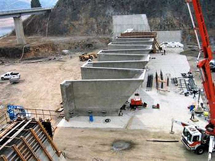
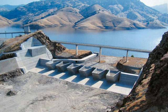
In 2004, the Corps installed the world’s largest fusegates atop the dam. Six 21-foot high structures essentially raised the height of the dam to withhold a 1,000-year flood event (a flood so great that its statistical likelihood is once in 1,000 years). The enlargement project cost an additional $48 million and included funding from federal, state, and local agencies.
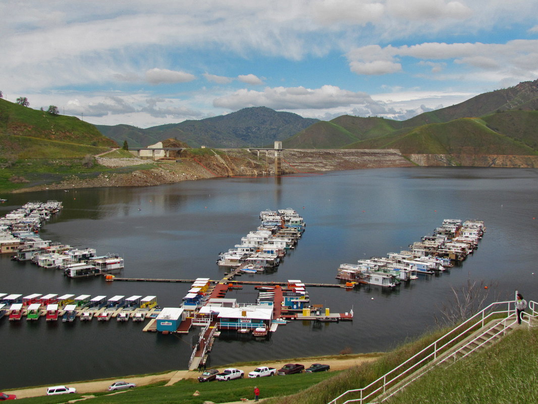
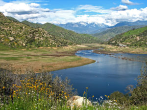
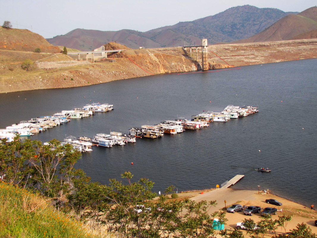
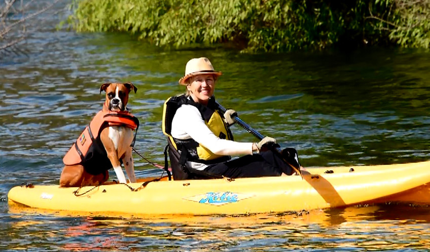
Flood control was the initial motivation for building Terminus Dam, and the primary purpose of Lake Kaweah continues to be flood control. But it has also become an important installation for water conservation, agricultural irrigation, power generation, and recreation. Boating, water-skiing, swimming, fishing, horseback riding, hiking, and camping attract 40,000 visitors a year.
Terminus Dam has tamed the capricious and dangerous Kaweah River. In extremely dry winters, it is nearly possible to see the river as it used to flow through the lake’s valley. It is much harder to imagine the devastating flood flows that tormented residents from Three Rivers to Tulare Lake. With the taming of nature, the Kaweah’s waters have been harnessed. It has been decades since anyone needed a boat to get around downtown Visalia.
March, 2015
For a related article, see the Kaweah Delta Water Conservation District
-
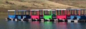
Row of Houseboats
-
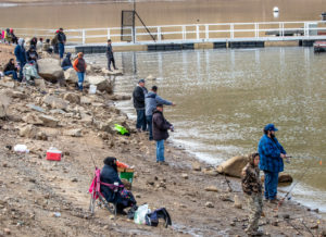
Fishing Near the Marina
-
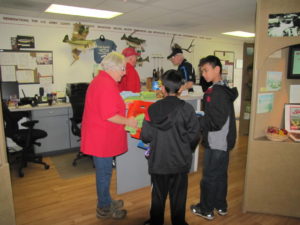
At the Visitor Center
-
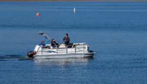
Fishing Boat Heading Down Lake
-
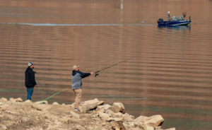
Fishing from Boat & Shore
-
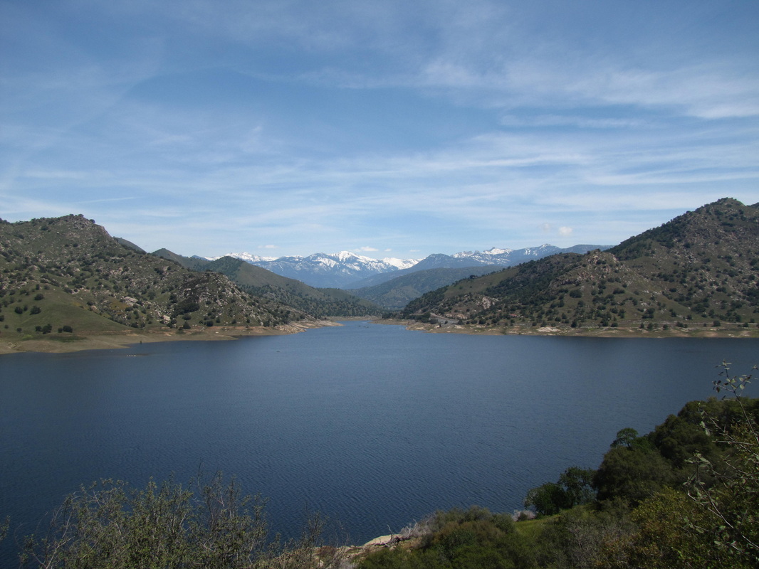
Looking East to Sierra Nevada
-
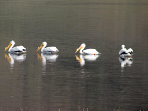
Row of White Pelicans
-
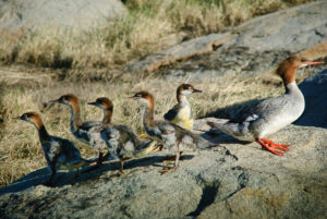
Merganser Mother & Family
-
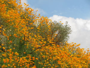
Hillside Poppies
-
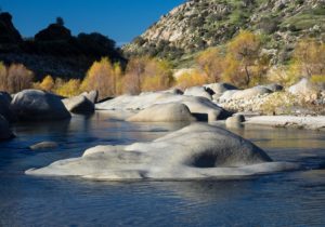
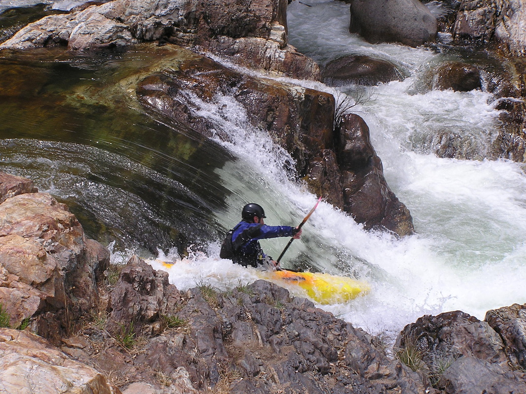
Kaweah River at Slick Rock
-
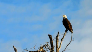
Perching Bald EAgle
-
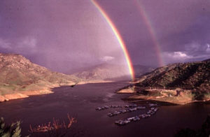
Double Rainbow Over Marina
-
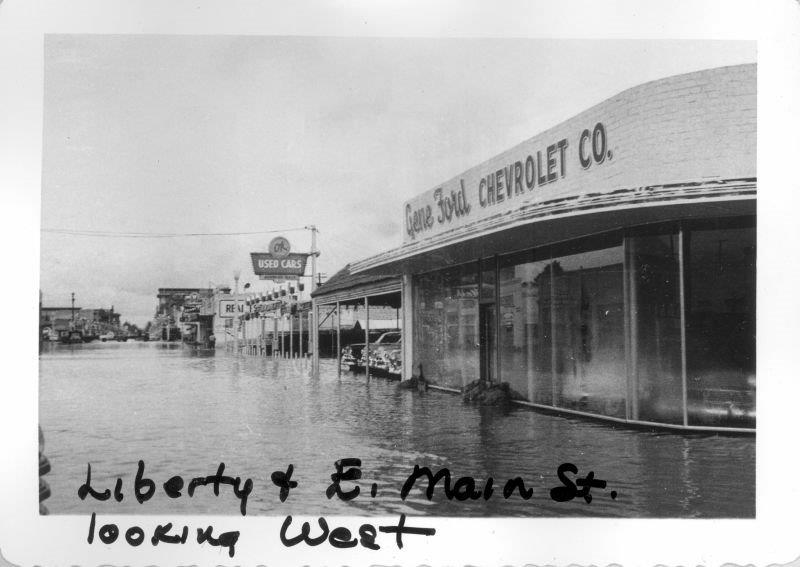
The Visalia Times-Delta in its 01/20/56 “FLOOD” edition commemorating the December, 1955, disaster, published the headline: “Terminus Dam, still only paper project after 11 years, would have saved us.” The Exeter Sun newspaper noted that the cost of the damage from any one of the previous four floods would have equaled the cost of the construction of Terminus Dam.
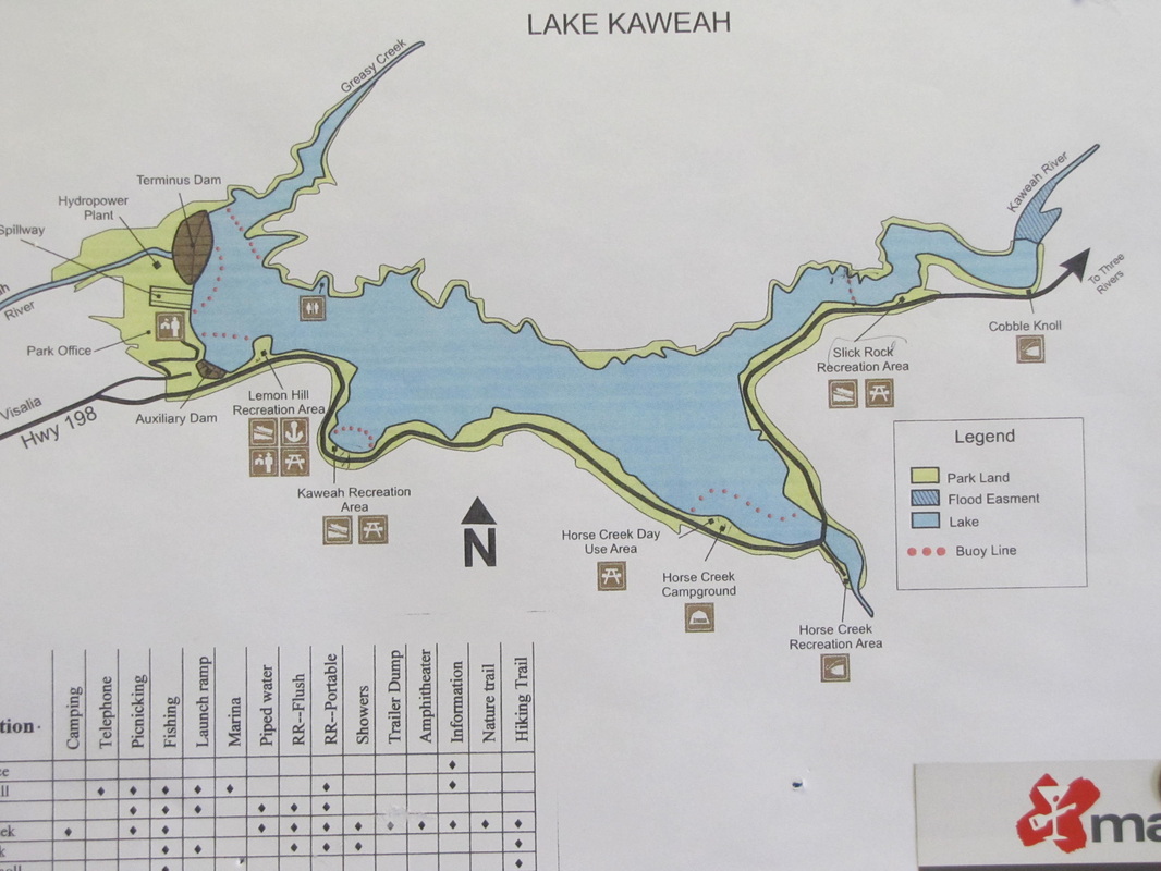
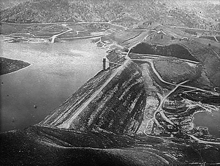
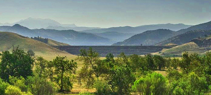
Terminus is an earthen core dam that rises 250 feet high. The length of the dam at its crest is 2,375 feet. Lake Kaweah inundates about 1,945 acres at maximum pool and floods nearly five miles of river.
With the 2004 enlargement, the capacity of Lake Kaweah was increased to 185,630 acre-feet. (One acre-foot is enough water to flood one acre to a depth of one foot, or about 326,000 gallons.)
Irrigation water from Terminus is administered by the Kaweah Delta Water Conservation District, which provides irrigation service to dozens of water users in 384,000 acres of farmland downstream of the dam.
In 2004, the hydroelectric power plant at Terminus Dam was retrofitted to increase its annual production to 21 megawatts as water is released for flood control and irrigation.
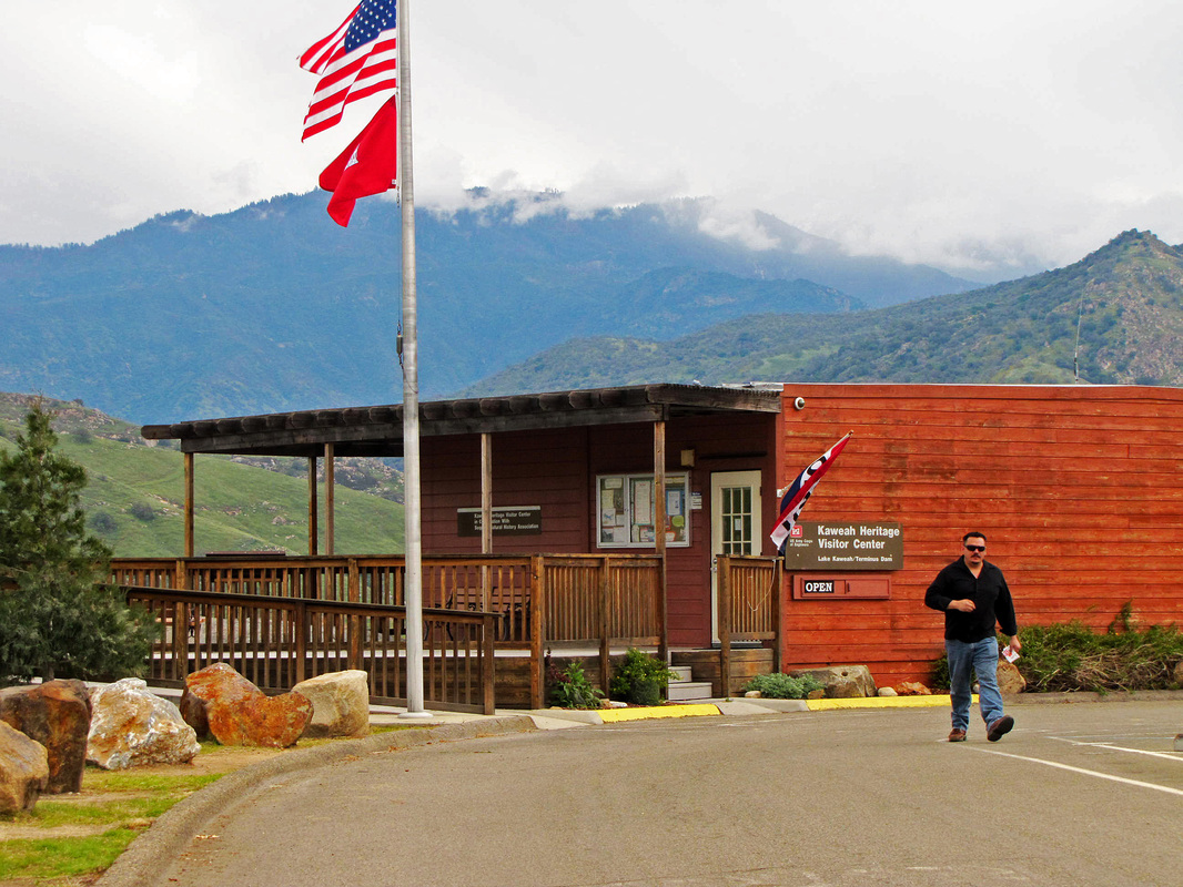
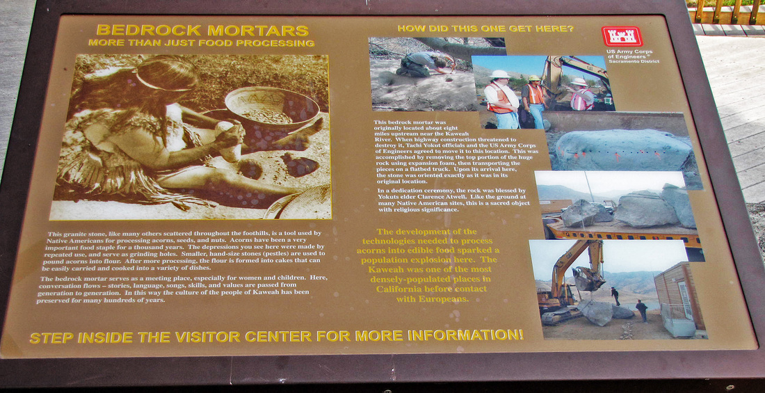
The Kaweah Heritage Visitor Center on Lemon Hill offers visitors dramatic vistas of the lake and fusegates as well as information about its history, archaeology, geological features, and wildlife.
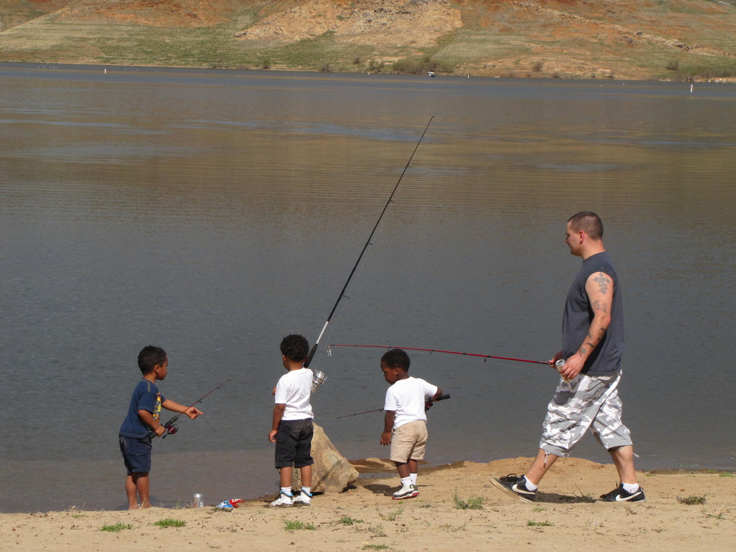
Largemouth bass, crappie, bluegill, catfish and trout are popular game fish caught at Lake Kaweah. The California Department of Fish and Game continues to stock the lake with game fish, including trout.
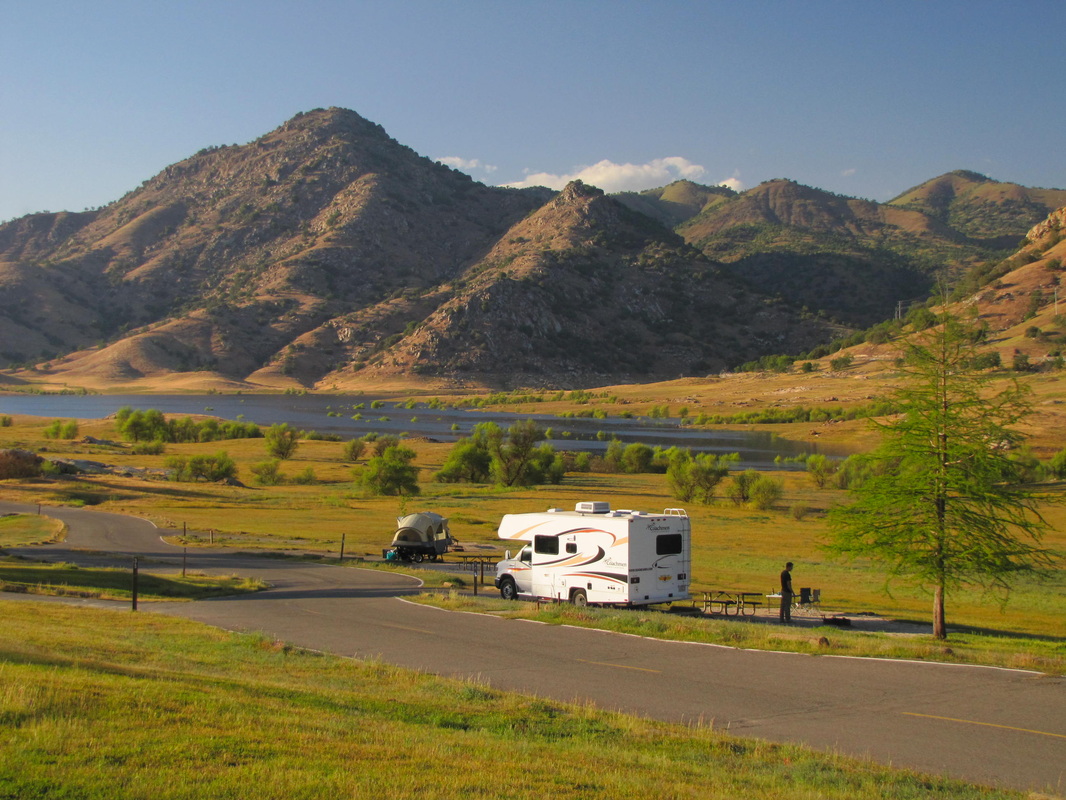
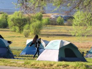
Horse Creek campground is a popular camping destination. The area also includes more than five miles of trails for hiking, dog-walking, and horseback riding.
The lake has three, three-lane boat-launch ramps. Water skiing and personal watercraft are permitted on the lake. Slick Rock Recreation Area is suitable for swimming even at low flows.
“The rock face of Terminus Dam loomed beyond the flat across the Kaweah canyon, the only straight line this side of Blue Ridge and the Great Divide, its control tower and space age hydro plant and poles as the last attempt to train and harness the whims of weather like a dependable horse under the wildest of circumstances.” — John Dofflemyer