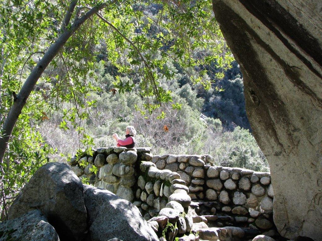
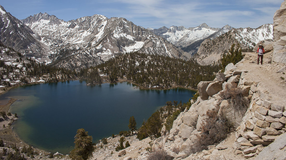
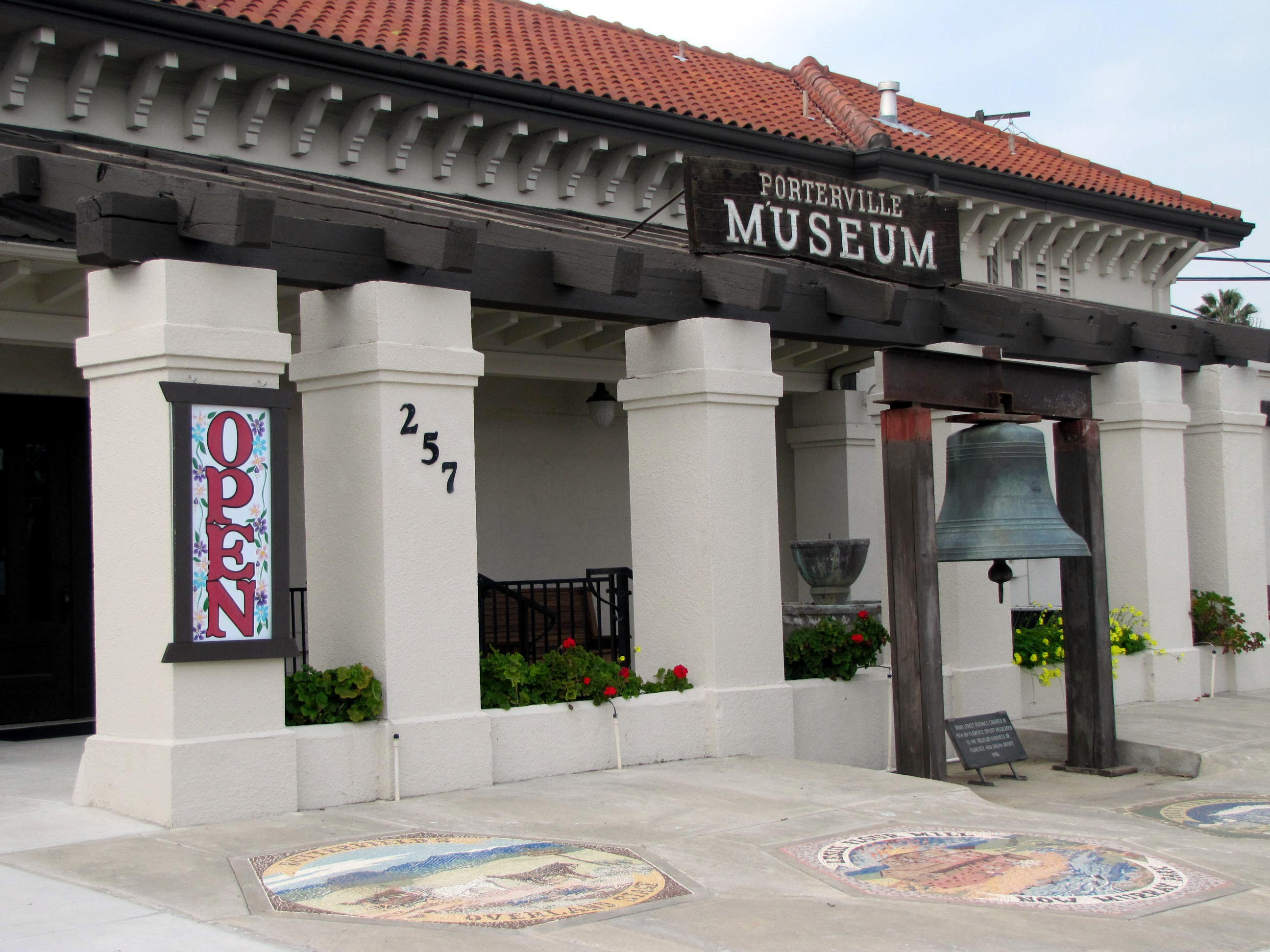
 Click on photo for more information.
The Original Tule River Indian Reservation in Tulare County
by Laurie Schwaller
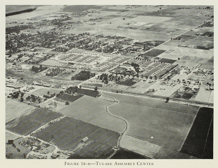
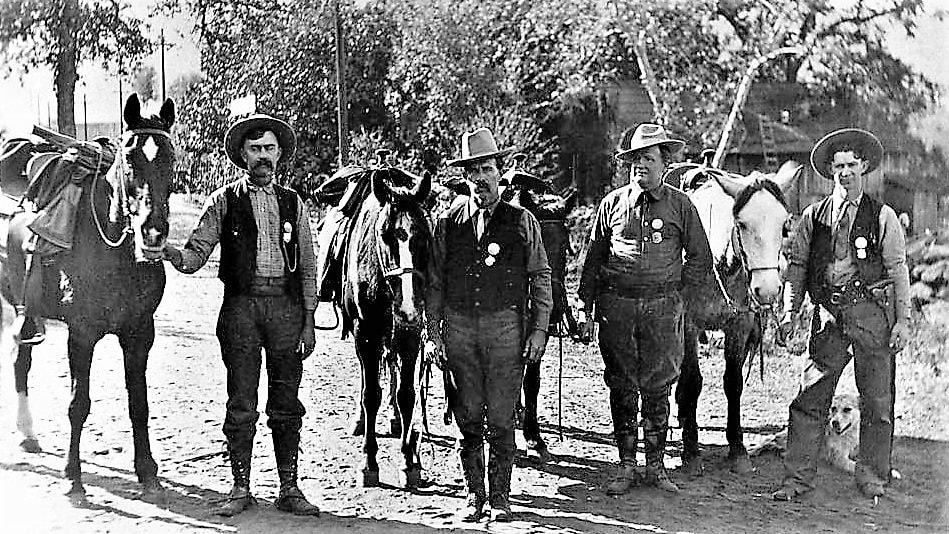
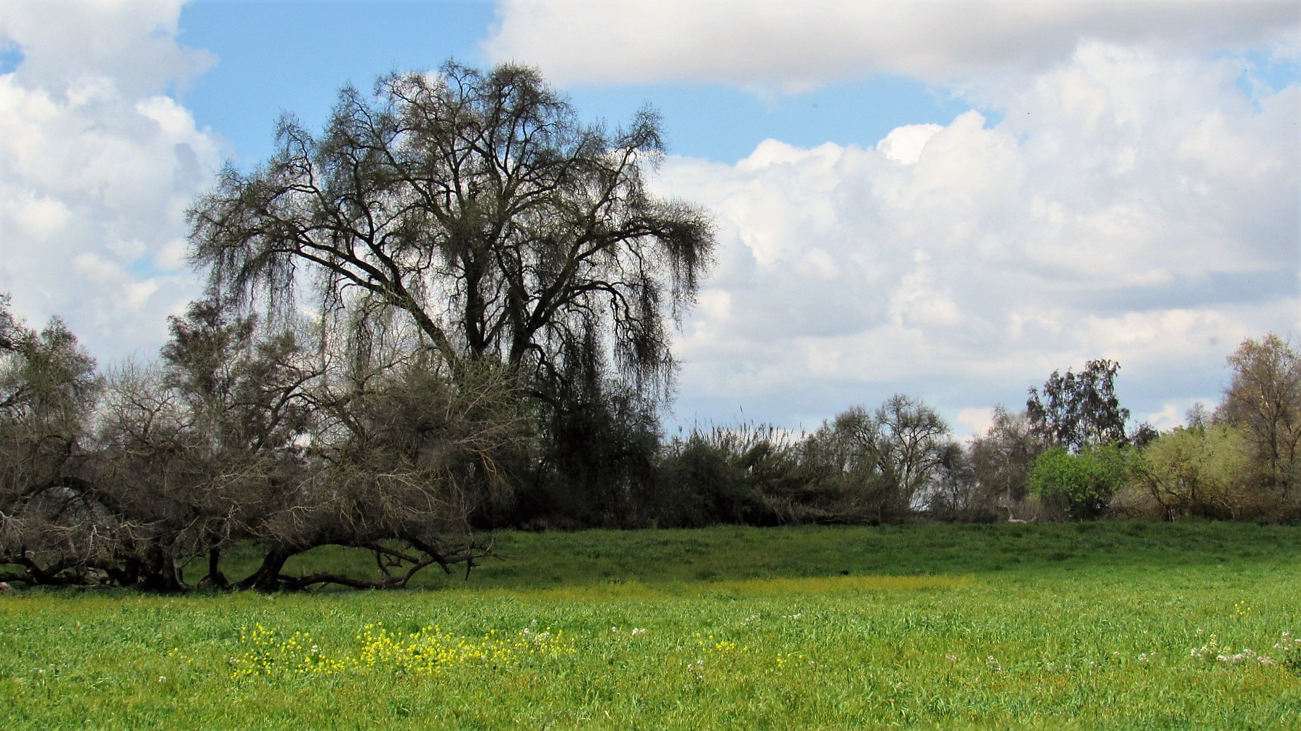
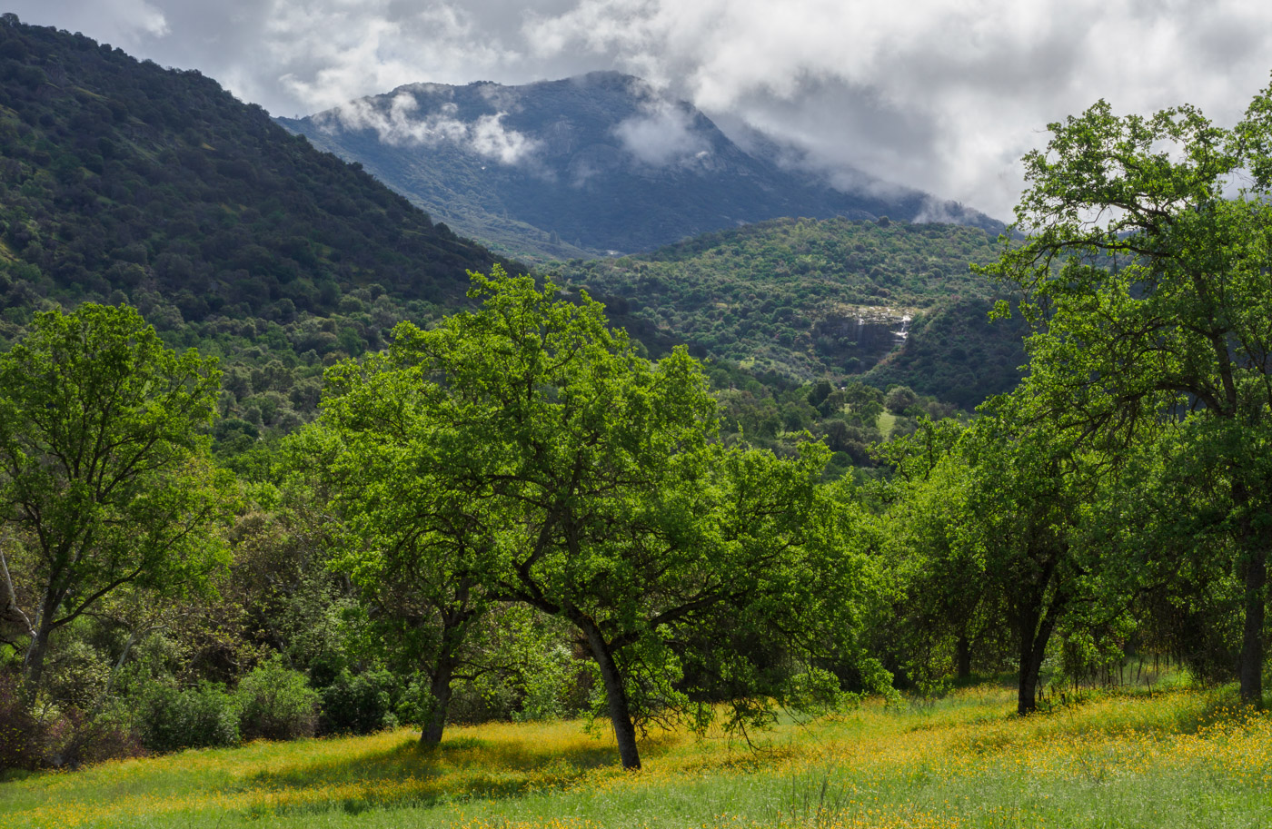
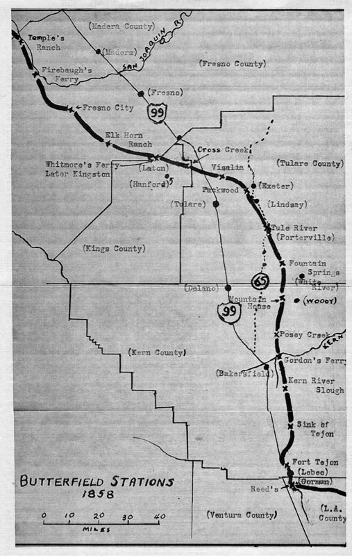
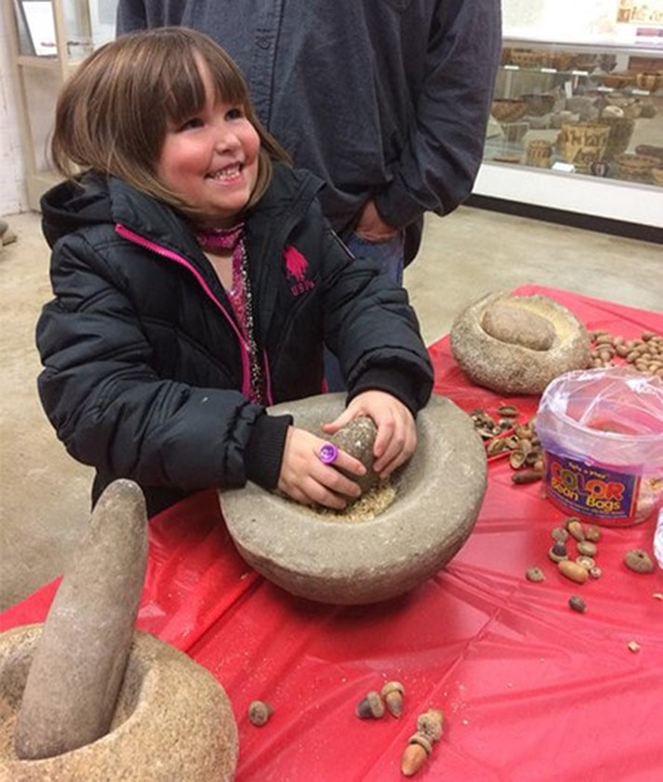
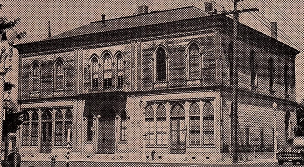
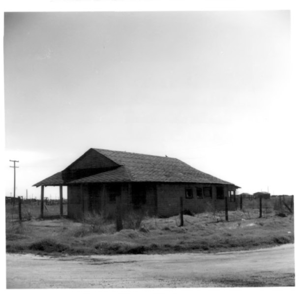
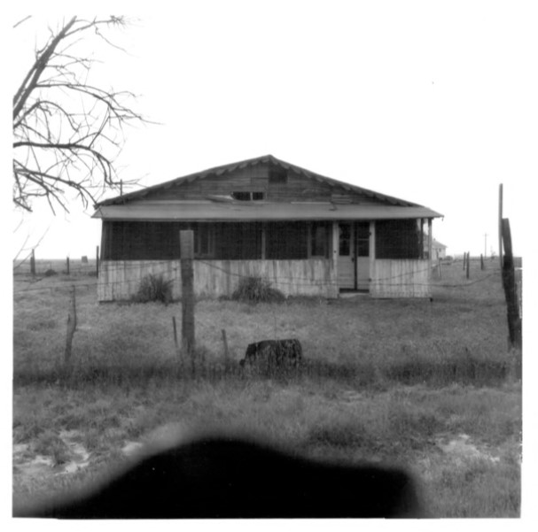
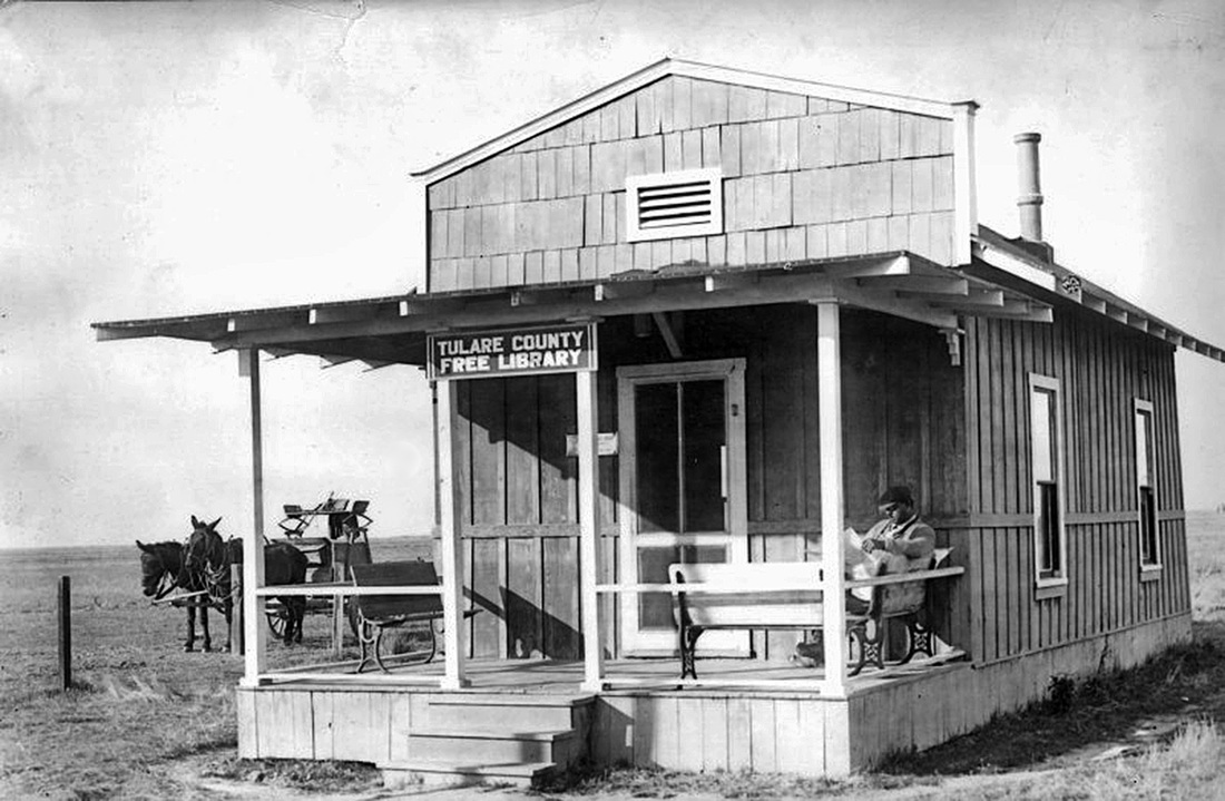
The original Tule River Indian Reservation in Tulare County was established in 1856 on prime farmland in what is now east Porterville. After California’s Gold Rush began in 1848, thousands of discouraged prospectors began settling instead in the Central Valley to farm its rich soil. Their rapidly increasing population and conversion of the natural landscape caused increasing conflict with the Yokuts-speaking people who had thrived here for thousands of years and were being rapidly dispossessed of their land and livelihood. In 1856, hundreds of the Yokuts were forced onto this “permanent homeland” reservation.
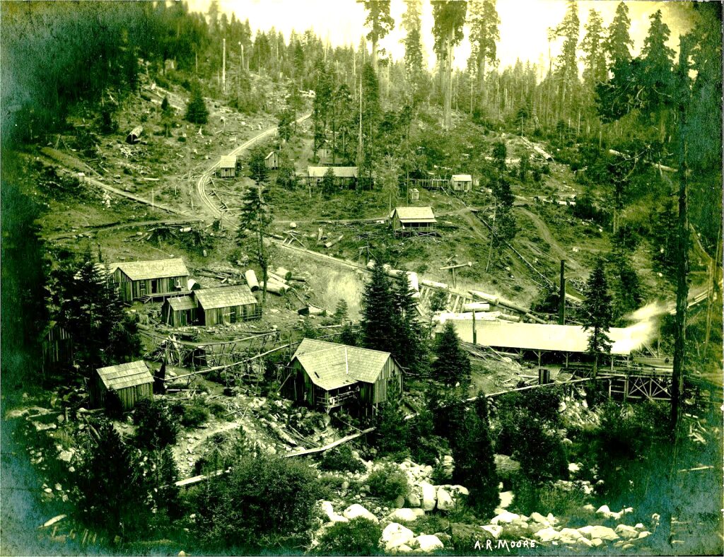
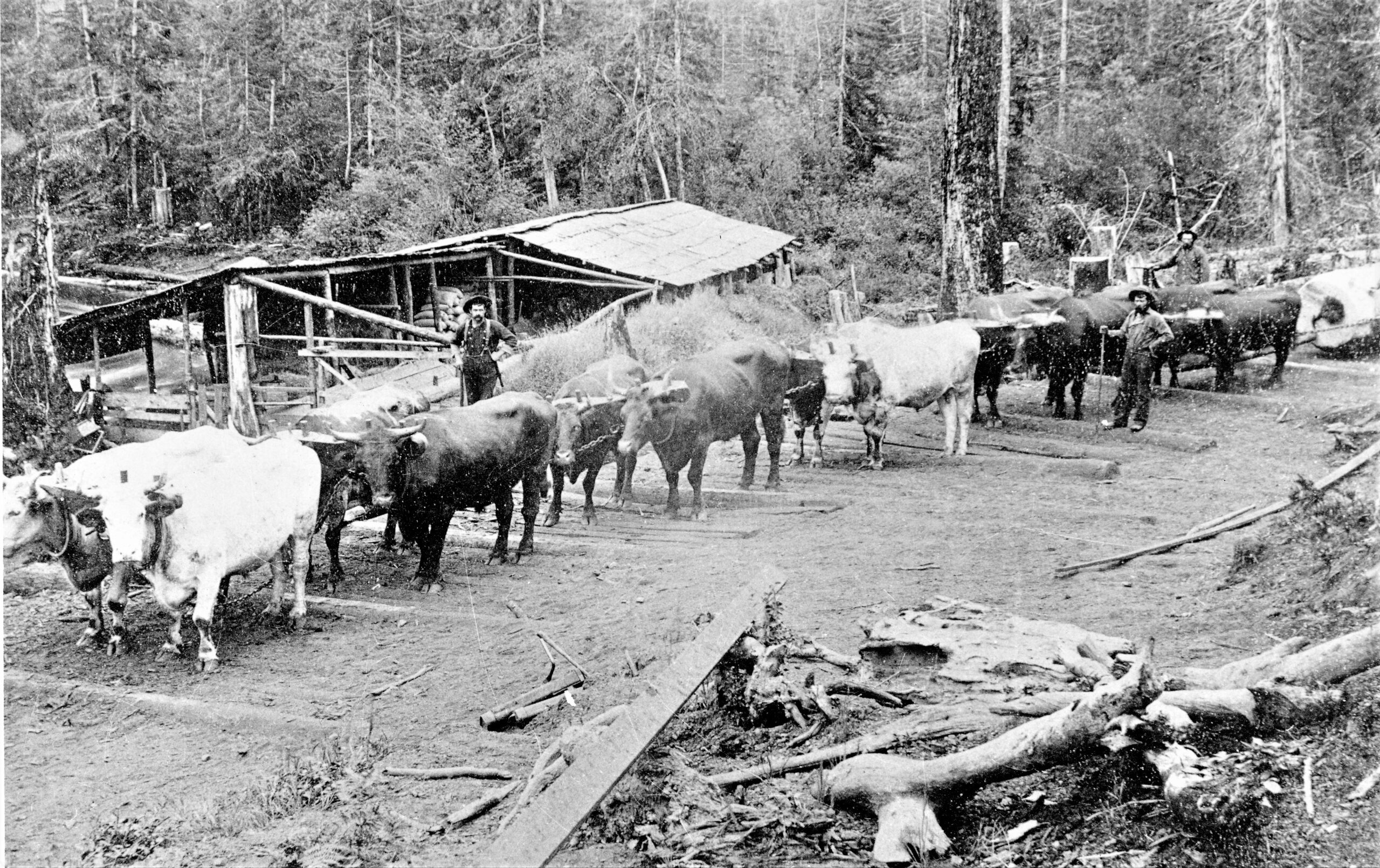
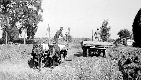
By 1857, Thomas Madden and two other local Indian agents illegally acquired state patents and title to most of the 2,240-acre original reservation, which came to be called the Madden Farm. The reservation Indians peaceably cultivated the farm’s fertile land and an additional 800 acres of adjacent federal land, producing abundant fruits, vegetables, wheat, and barley.
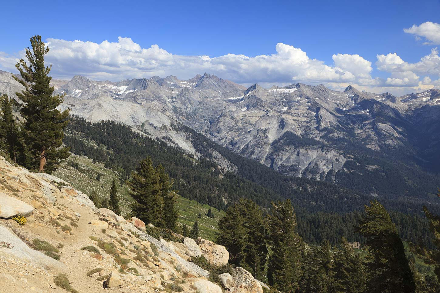
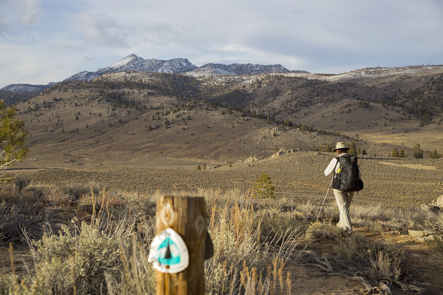
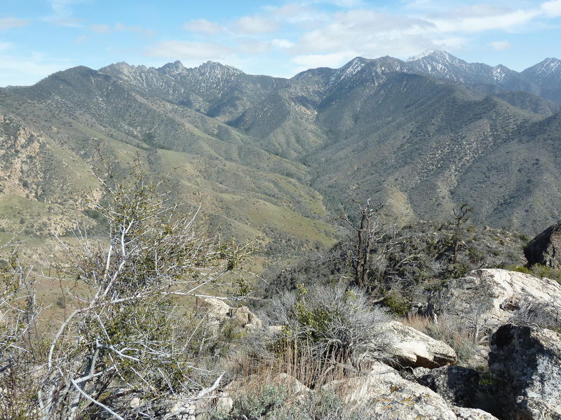
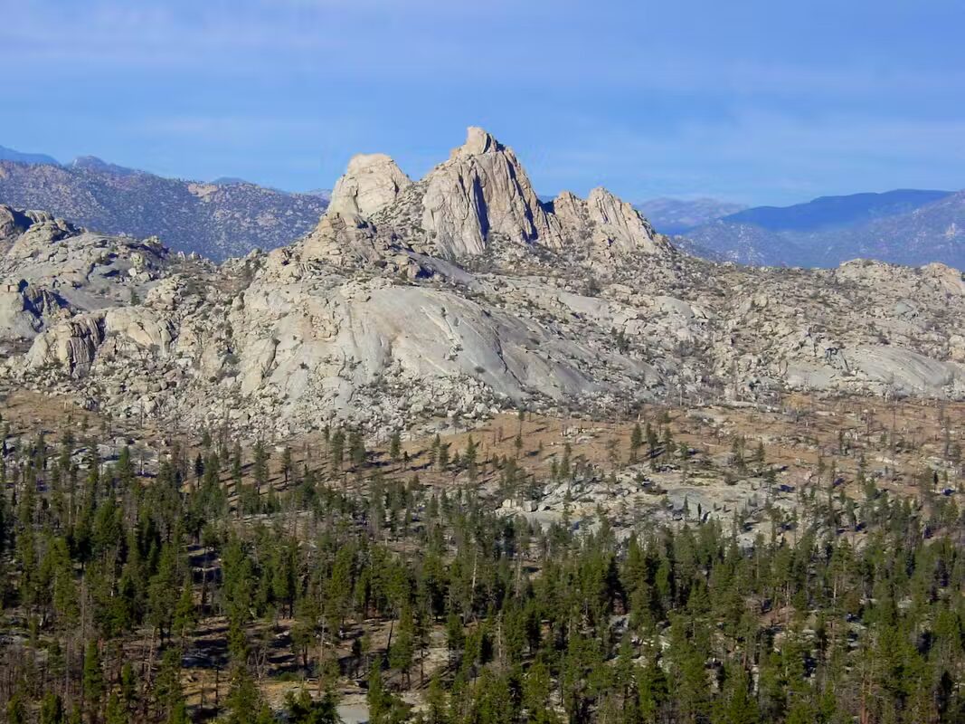
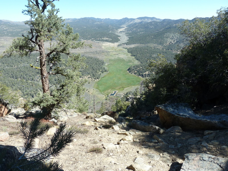
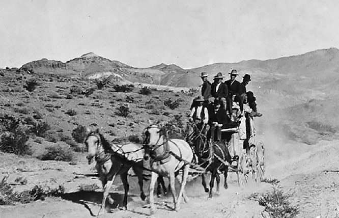
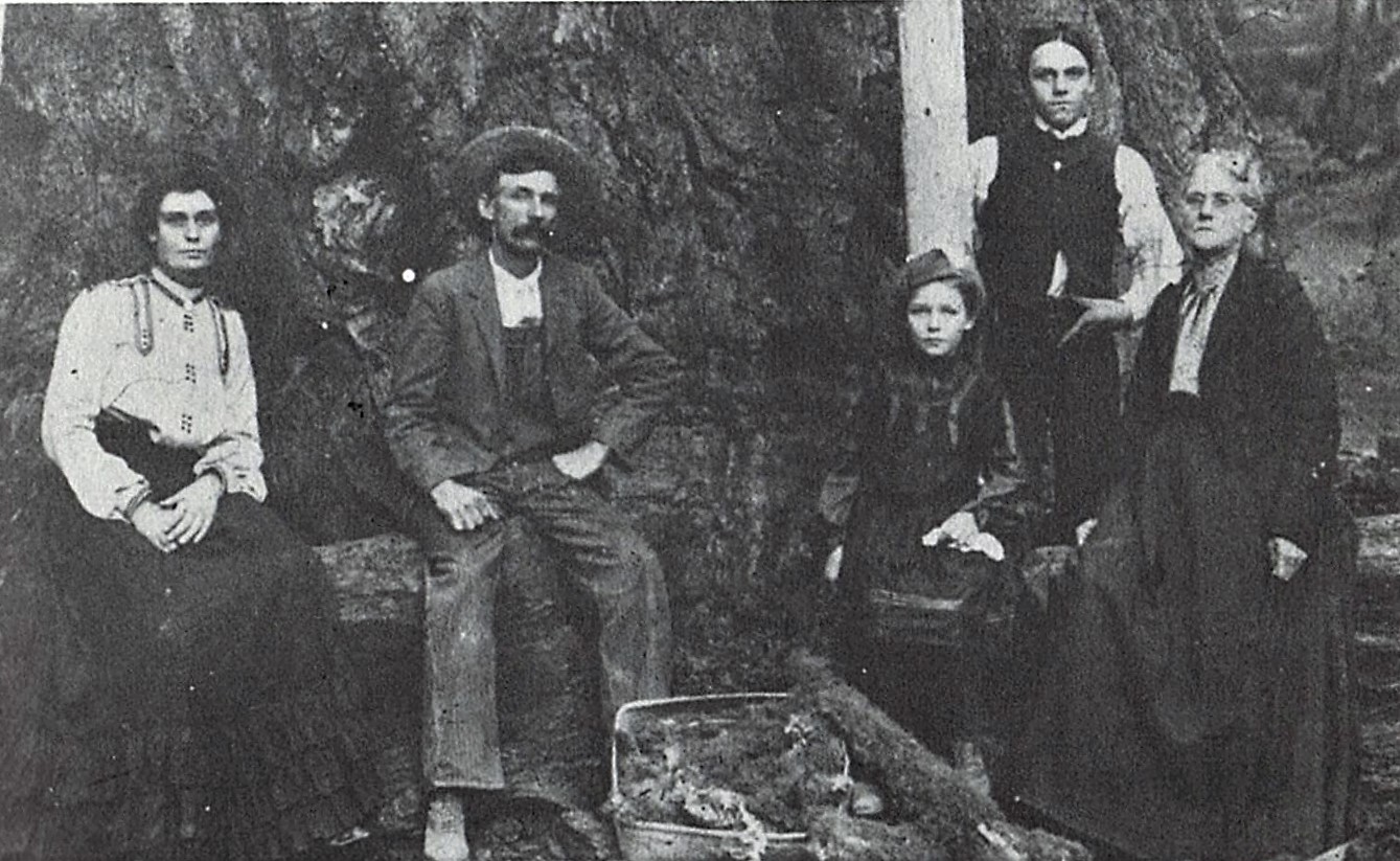
But by 1863, white settlers were agitating ever more insistently to push the Indians off their “permanent homeland” so that it could be opened to the whites. Consequently, in 1873, a new reservation was established about 15 miles to the east in foothill and mountain land. While the new reservation was much larger, 48,000 acres, only about 250 of its acres were farmable, so it could not begin to support the Indians. They refused to abandon their crops on the original reservation until, in 1876, they were violently relocated to the new one, where their enduring descendants continue to strive for self-government and self-sufficiency on that land today.
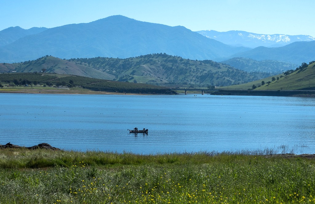
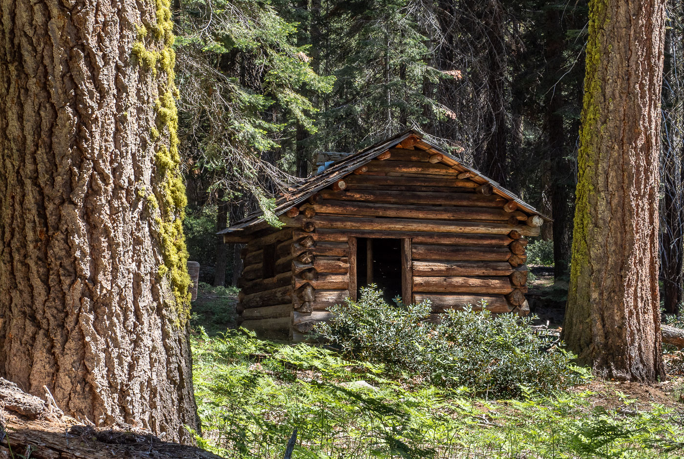
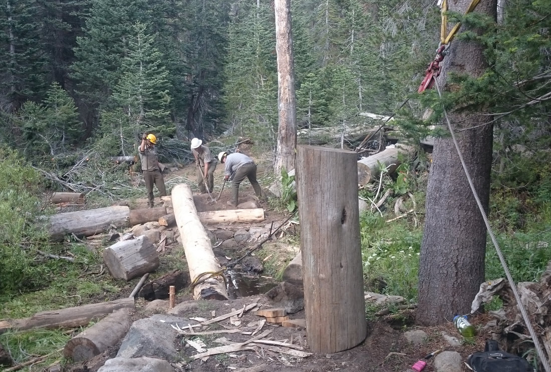
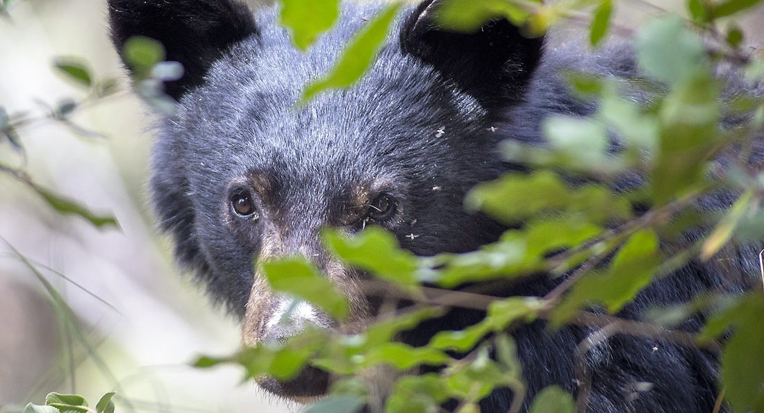
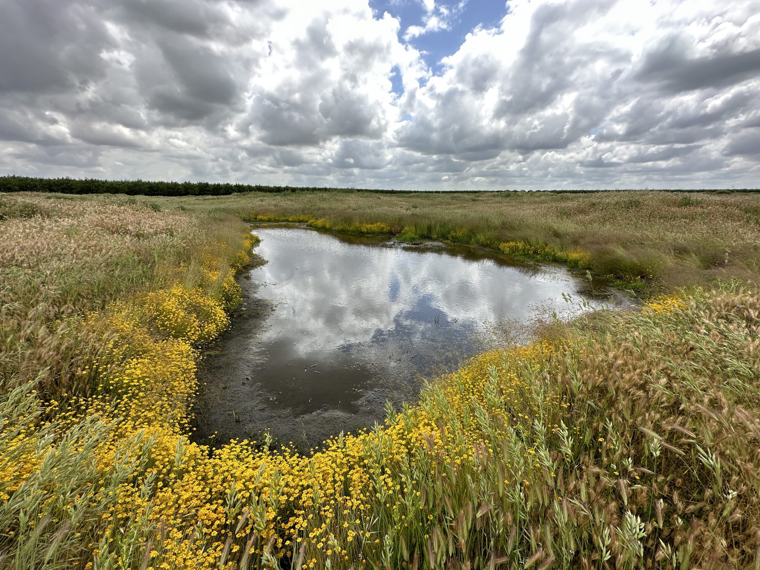
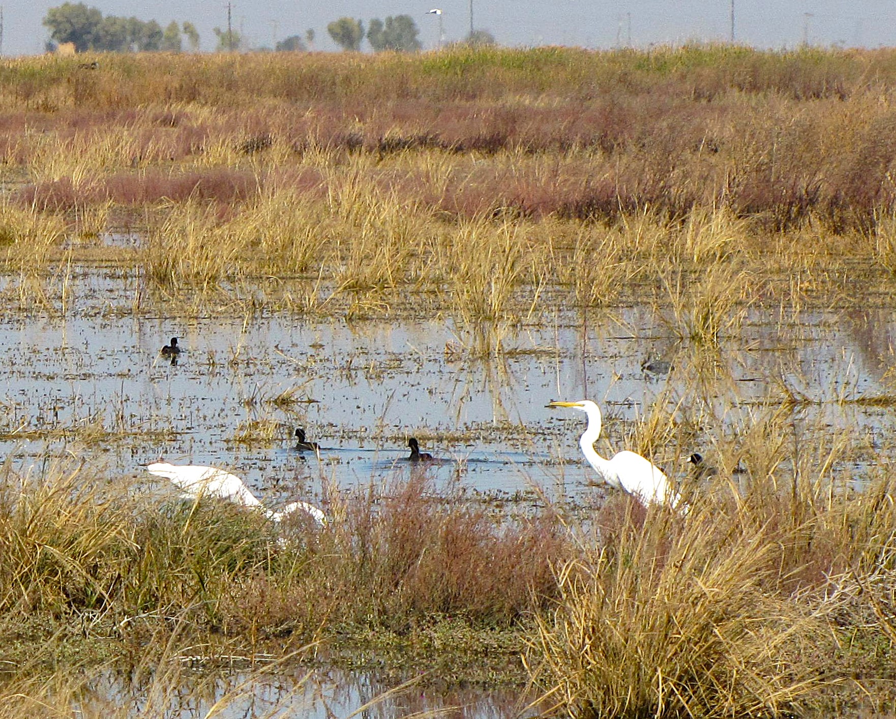
In 2025, the Tule River Indian Tribe regained 17,000 acres of its ancestral land, which it plans to restore to reconnect landscapes between the Giant Sequoia National Monument, the Tule River Indian Reservation, and San Joaquin Valley wetlands. Partnering with the California Department of Fish and Wildlife, the tribe has reintroduced beavers and tule elk to the land and is protecting the California condor’s historic range. The tribe’s management of the land is expected to improve groundwater recharge, reduce flood risks, and secure water supplies for disadvantaged communities downstream. So importantly, it is also a place for the tribe “to gather, heal, and simply be.”
March 2026
NOTE: The Project Team will be conducting research for a full article page as volunteer time allows. Contact Us if you’d like to help research, write about, and/or illustrate this Treasure!
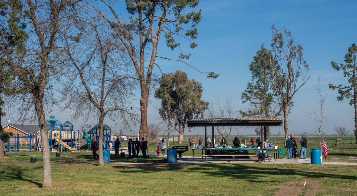
Address: 2293 E. Crabtree Ave., Porterville, CA; GPS 36.1991111, -119.342222
From Visalia, take Hwy 198 east to go south on Hwy 65 toward Porterville. Exit east (left) onto W. Linda Vista Ave. (there’s a stoplight) and then go south (right) on N. Main St. Go east (left) on E. Morton Ave., then south (right) on N. Conner St. Go east (left) on E. Olive Ave., which will curve south and become E. Doyle St. Turn west (right) onto E. Crabtree Ave. Alta Vista School will soon be on your left, at 2293 E. Crabtree.
Alternate route: Stay on Hwy 65 south to exit east onto Hwy 190. Exit Hwy 190 onto S. Plano St. north (left). Go east (right) on E. Date Ave., which will curve and become E. Springville Ave. Go north (left) on S. Page St., then east (right) onto E. Crabtree Ave. and follow it to Alta Vista School, which will be on your right at 2293 E. Crabtree.
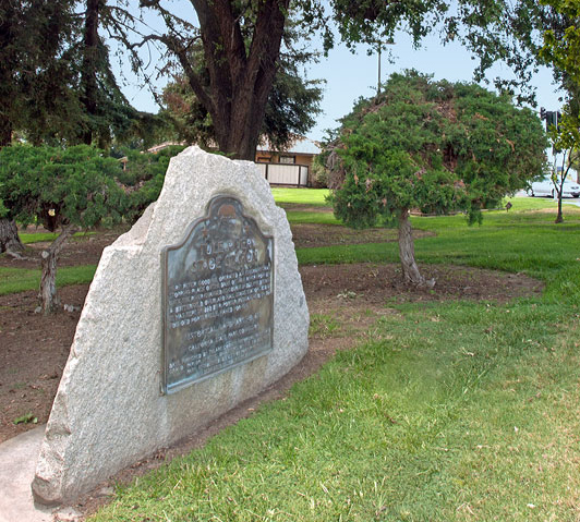
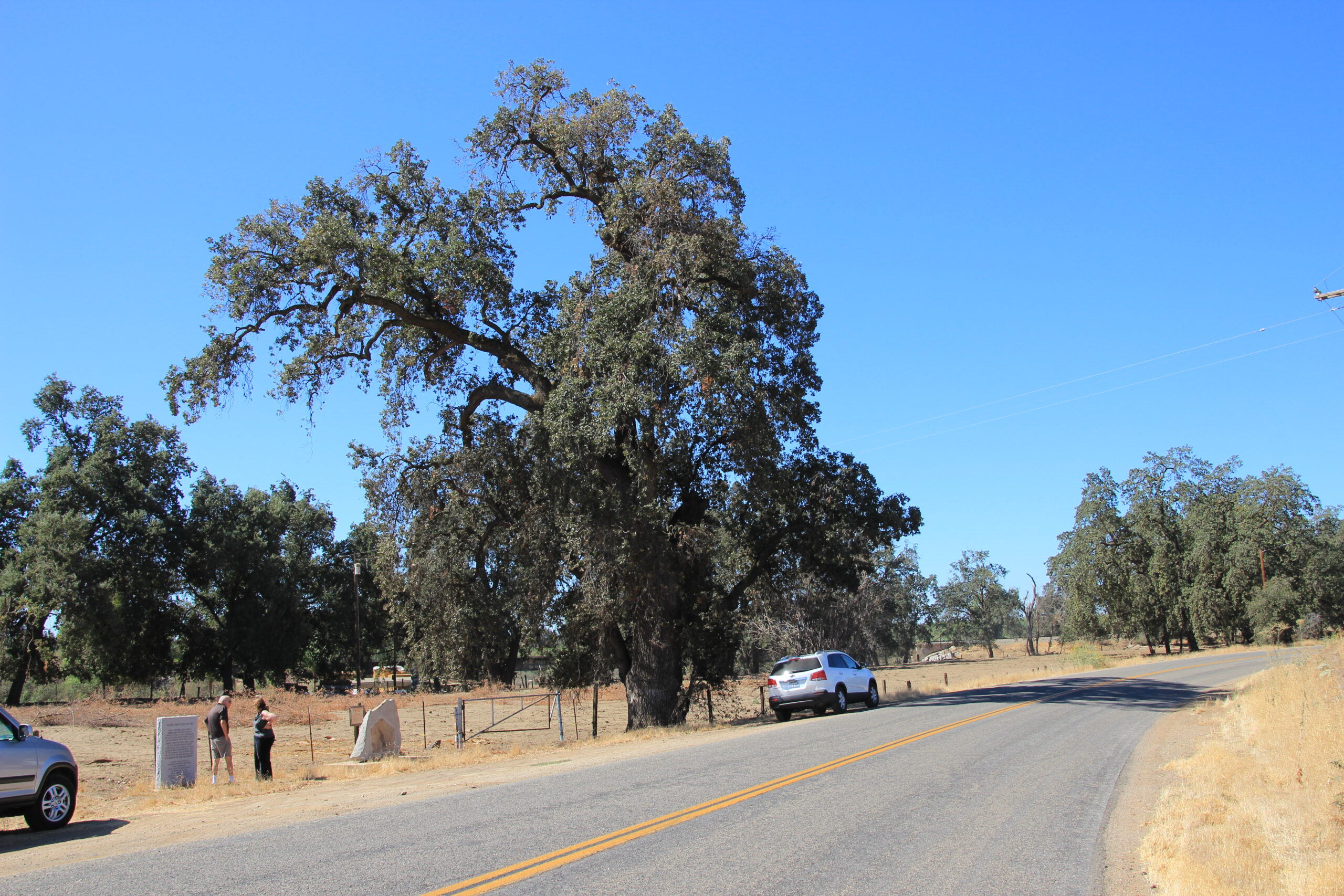
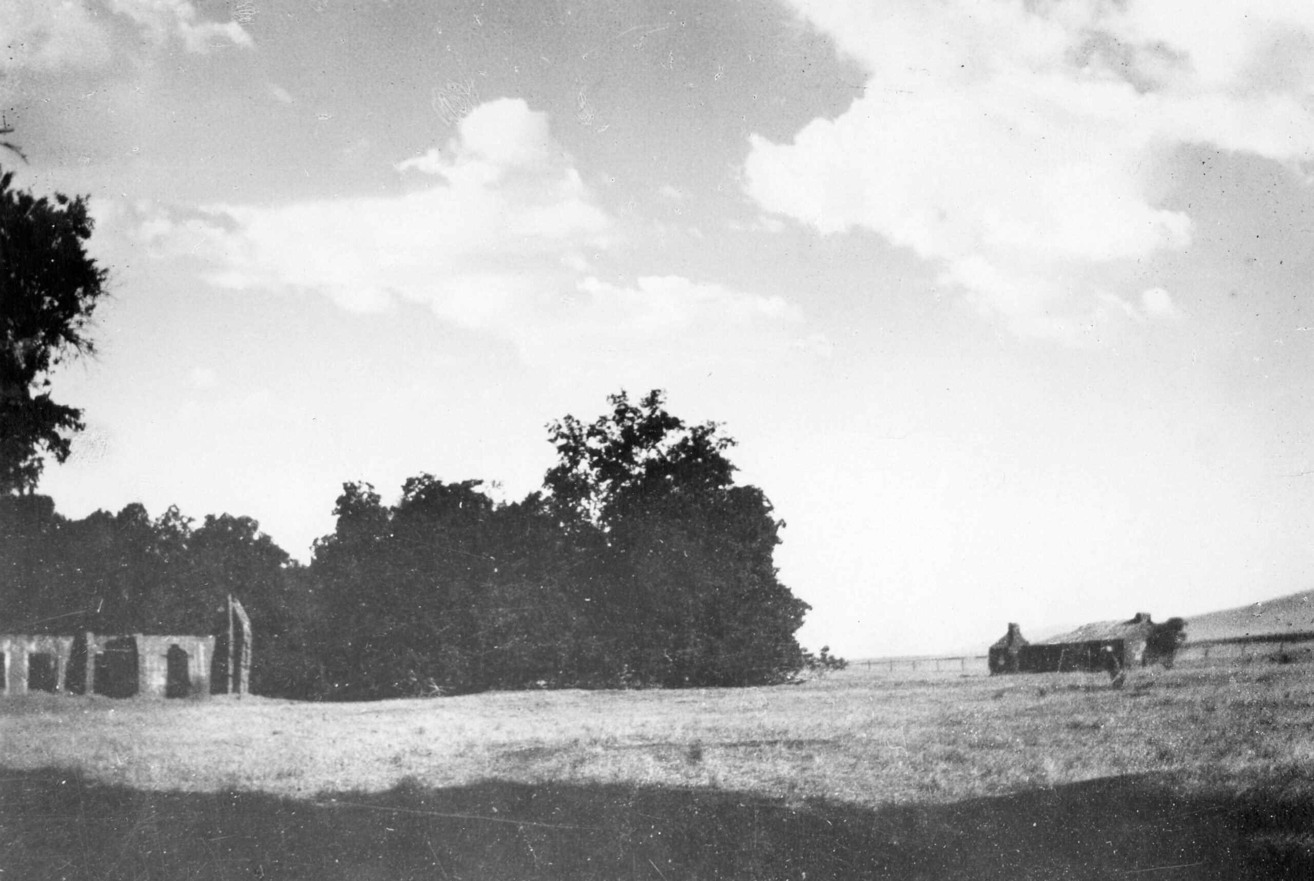
NOTE: Nothing is left of the original reservation, but you can stand where it was established. The historic marker reads: “TULE RIVER INDIAN RESERVATION A reservation was originally established in 1857. Indians from a widespread area were brought here. The natives of this vicinity were the Koyeti tribe toward the west and the Yaudanchi tribe toward the east. Both were branches of the Yokuts Indians that occupied the San Joaquin Valley. This location not proving satisfactory, the Tule Indian Reservation was moved to its present location, 10 miles southeast, in 1873. Marker placed by California Centennial Commission. Base furnished by Tulare County Historical Society. Dedicated October 16, 1949 Registration Date: 08/19/1947”
Nearby Treasures: Zalud House Museum, Porterville Historical Museum, Porterville Main Post Office, Tule River Parkway, Bartlett Park, First Congregational Church of Porterville (check open days and times before you go).