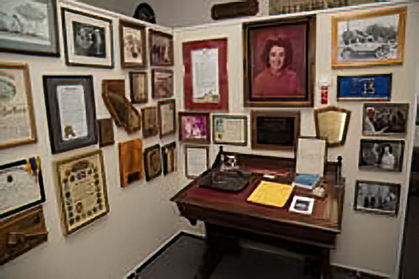
Click on photos for more information.
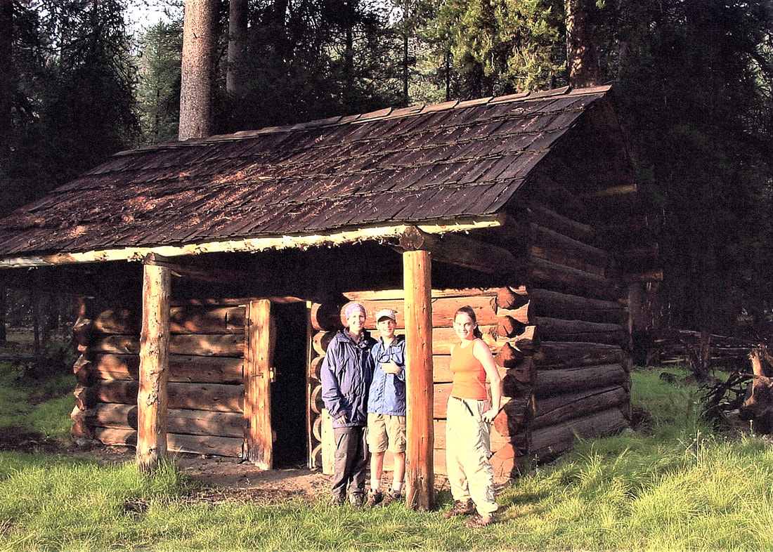
Barton-Lackey Cabin
AKA Barton Cattle Camp, Lackey Cattle Camp
by Laurie Schwaller
If you would like to see one of the most interesting and seldom-visited mountain cabins in Tulare County, take a long day’s hike or horseback ride on a scenic trail to the Barton-Lackey cabin. Built as headquarters for a long-term summer cattle range, it preserves the history of both an important mountain industry and a prominent early Tulare County family.
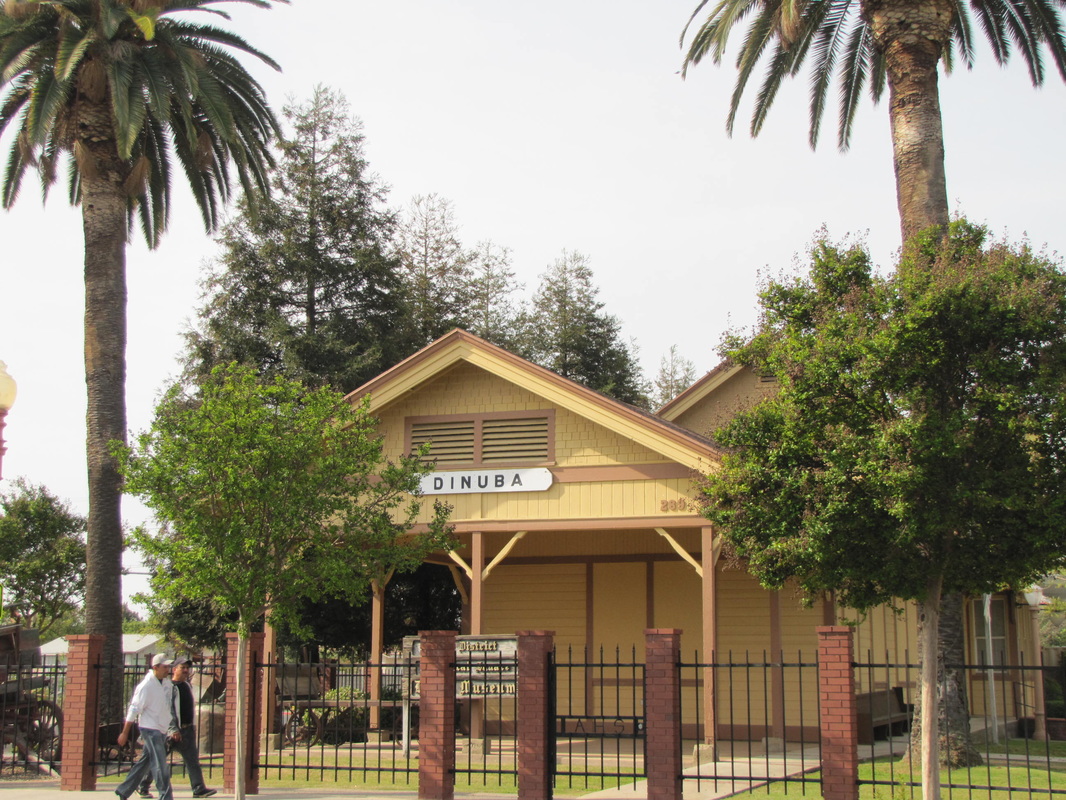
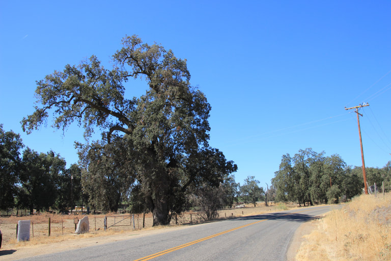
The Bartons were typical Tulare County pioneers in many ways. In 1865, James T. and Susan Barton, natives of New Jersey, crossed the plains from Illinois with their ten (sometimes reported as 9 or 11) children, and arrived in Visalia in October. Soon they took up land at the site of Auckland, a settlement on the old Millwood Road (now Highway 245) that runs north up to Badger and on to the sawmills and high country meadows beyond. The little town was an important stop for hundreds of teamsters on their journeys to and from the busy mills that supplied wood products to many growing Tulare County communities.
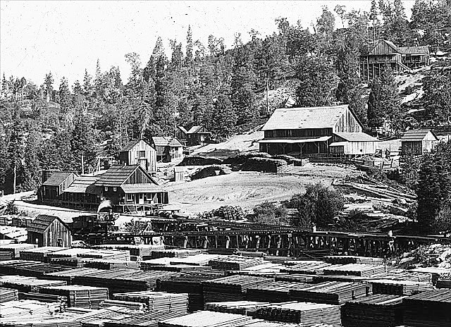
Four generations of Bartons lived at Auckland. James T. Barton raised cattle there on 440 acres for 14 years, then moved to Three Rivers in 1879.
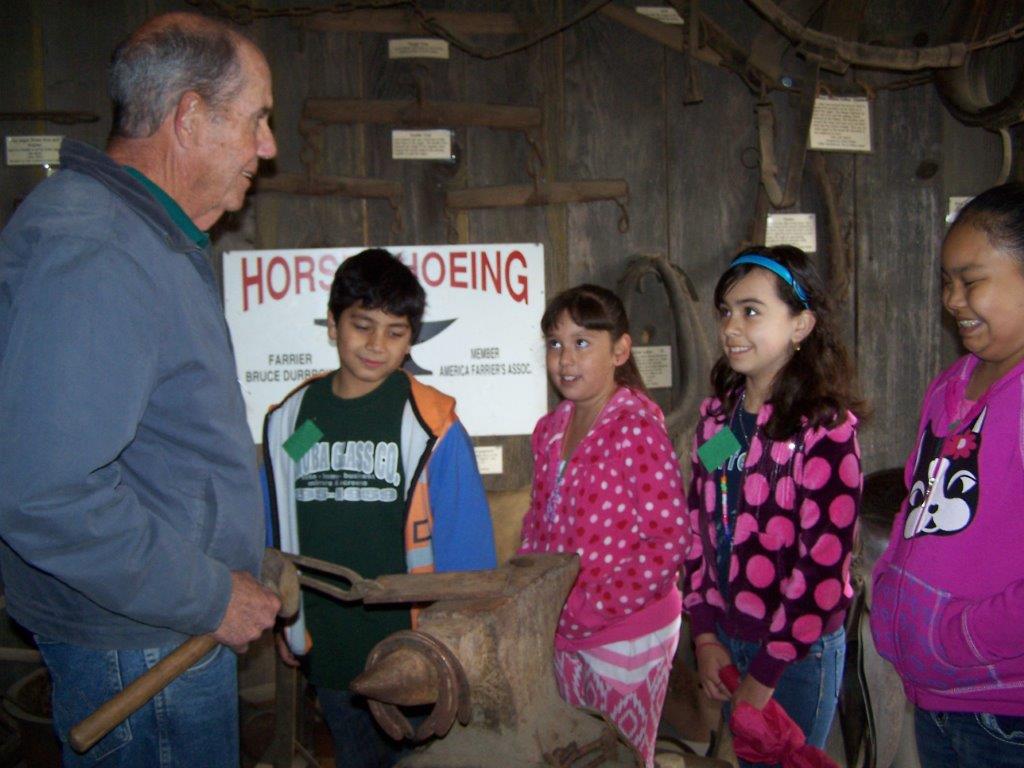
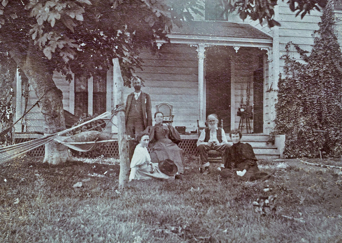
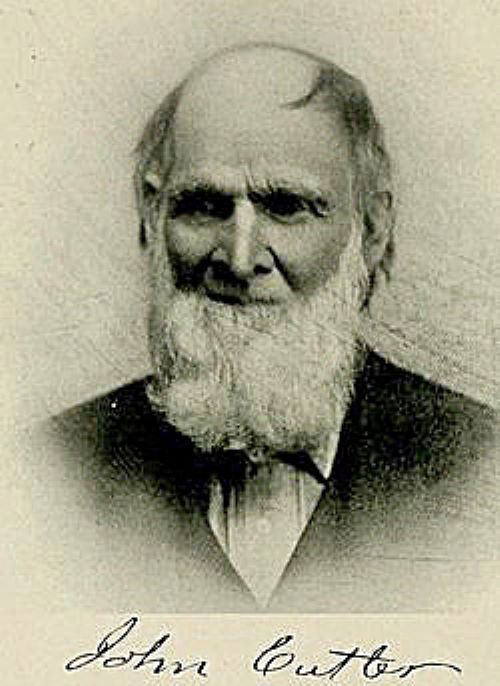
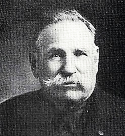
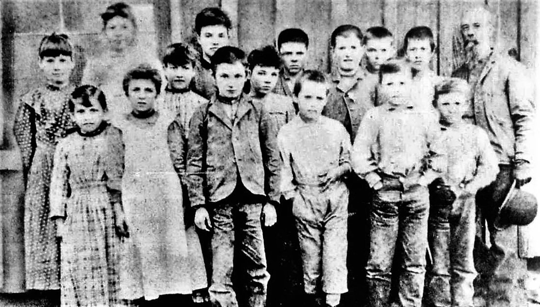
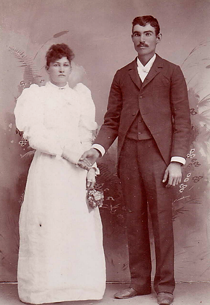
James and Susan’s sons Hudson (“Hud”) DeCamp Barton and Orlando Barton stayed in Auckland, where they ranched with their father and brothers and worked at the local sawmills. Hud, born in 1844, homesteaded land just above the village. He and Orlando built Auckland’s school and Hud was its first teacher. Over the years, he was also a rancher, sawmill owner, miner, hotel owner, orchardist, and carpenter. In his later years, he wrote many letters, a number of which were published in local newspapers, about his journey across the plains to California and events in our local mountains.
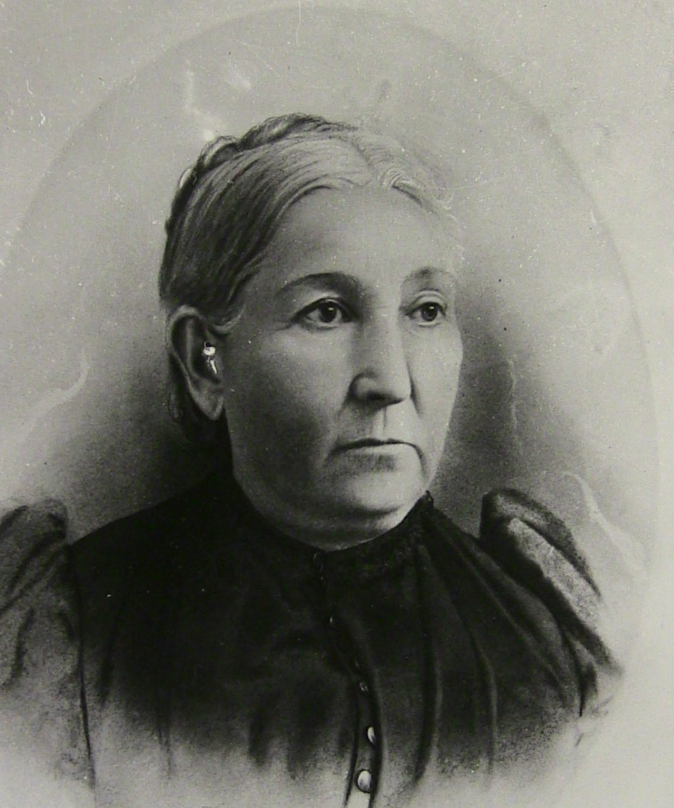
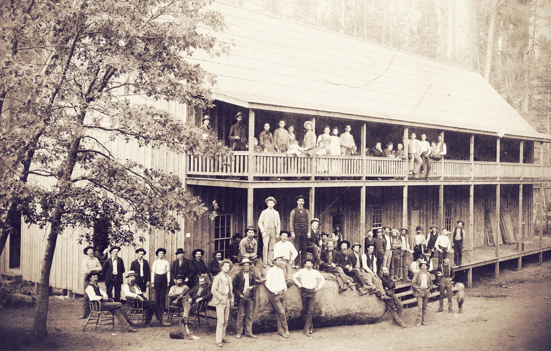
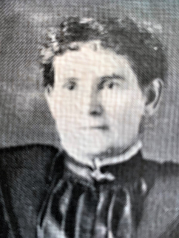
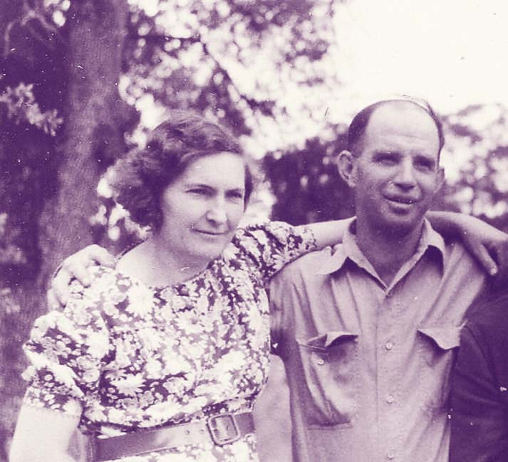
Hud married Sarah Jane Harmon in 1870, and they had eight children. Their first son, James DeCamp (Jim) Barton, was born in Auckland in 1871. He married Nellie St. Clair in 1893, and they had two daughters. Early in life Jim acquired and lived on the property homesteaded by his grandfather (James T.), then gradually acquired much adjoining property, becoming a prominent cattleman. He also worked as a contract logger and owned a big bull team that hauled heavy freight. To advance his logging and ranching operations, he built many of the mountain roads leading into the high country.
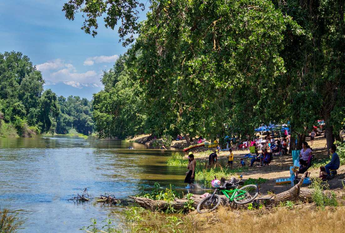
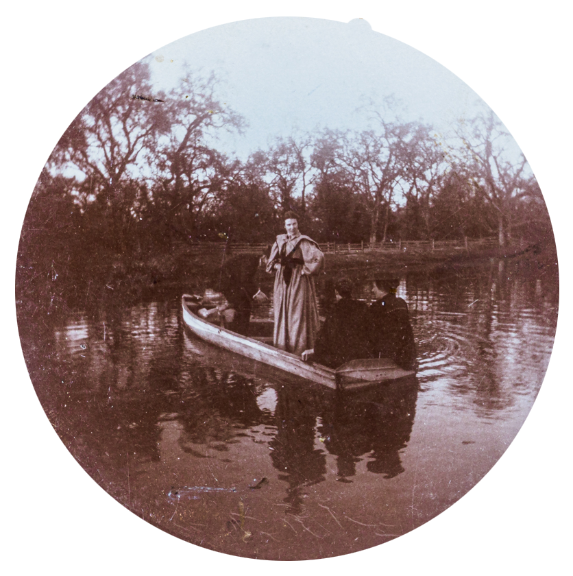
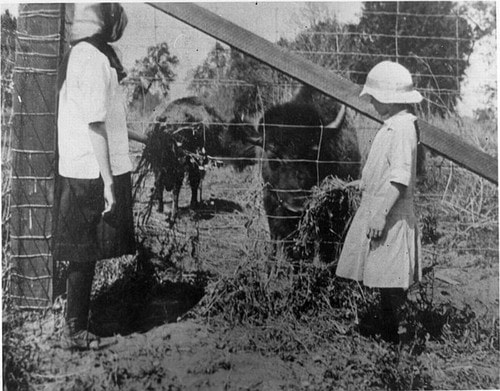
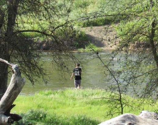
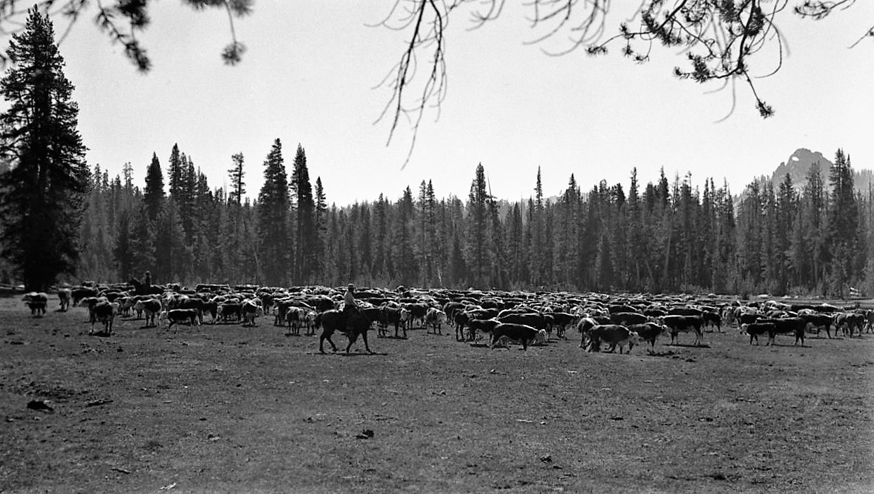
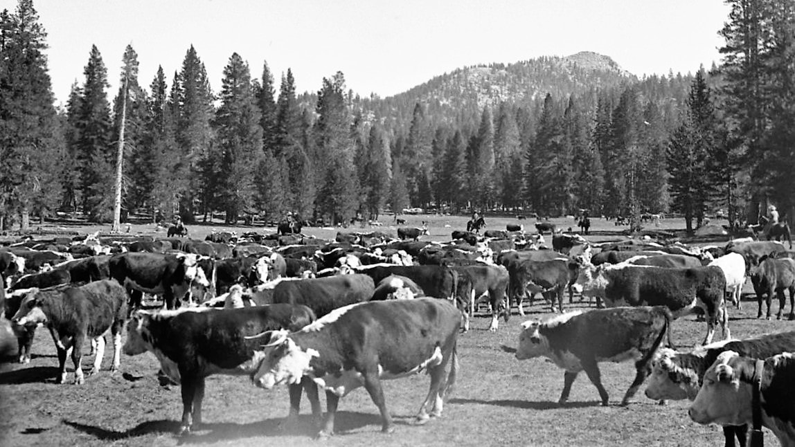
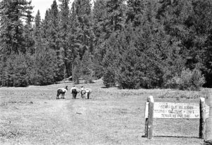
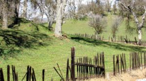
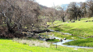
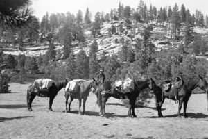
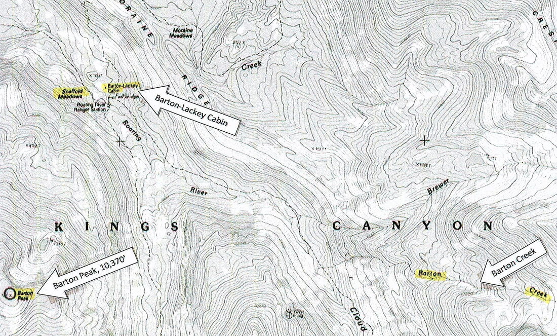
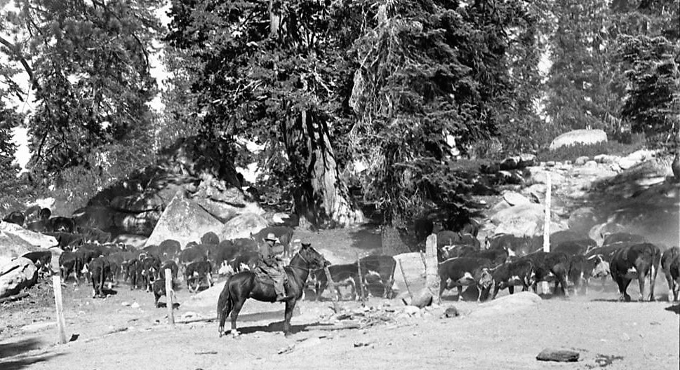
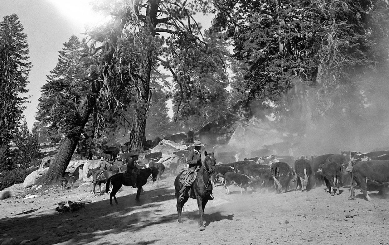
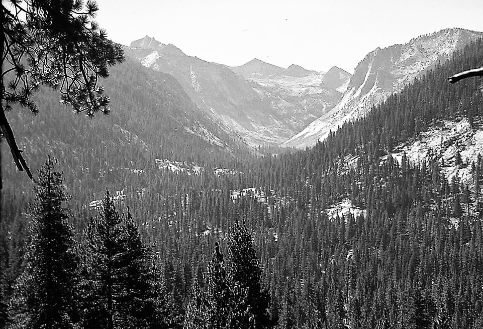
By 1904, the Bartons were driving cattle over these roads and trails to summer pasture on Federal Sierra Forest Reserve land. They chose the remote meadows at 7400′ along Roaring River in what is now Kings Canyon National Park, very near the present Roaring River Ranger Station.
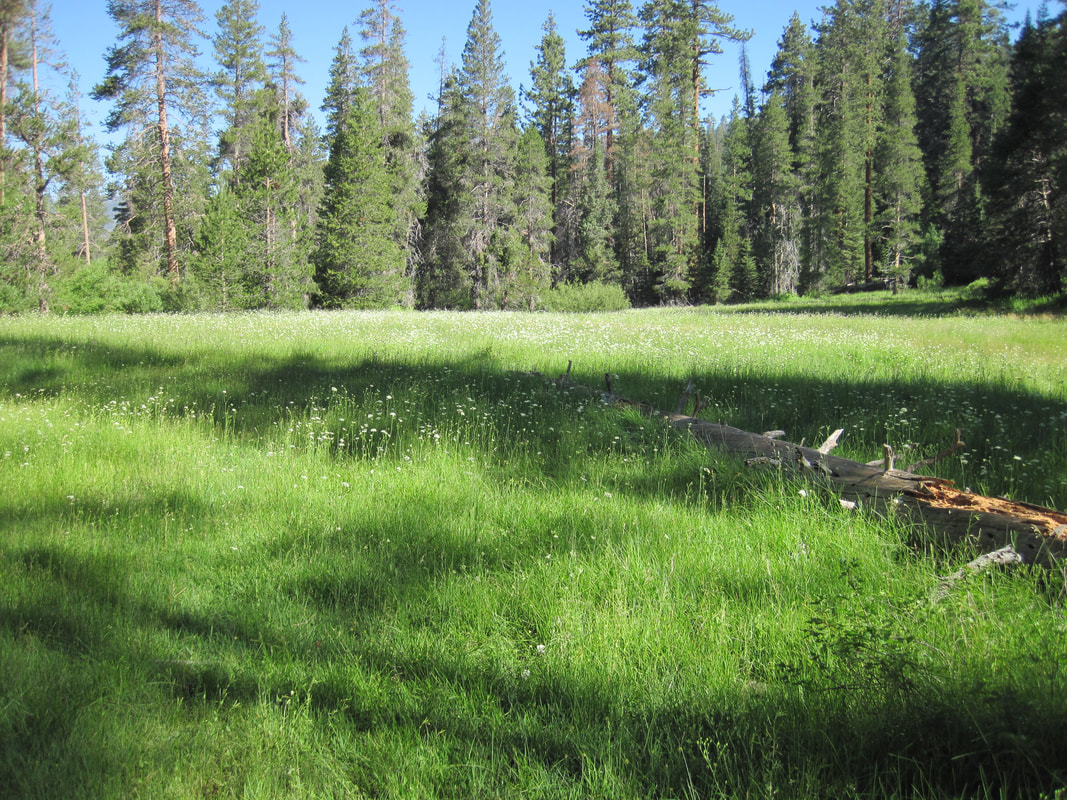
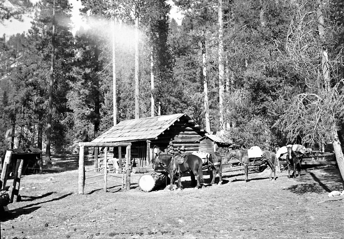
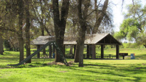
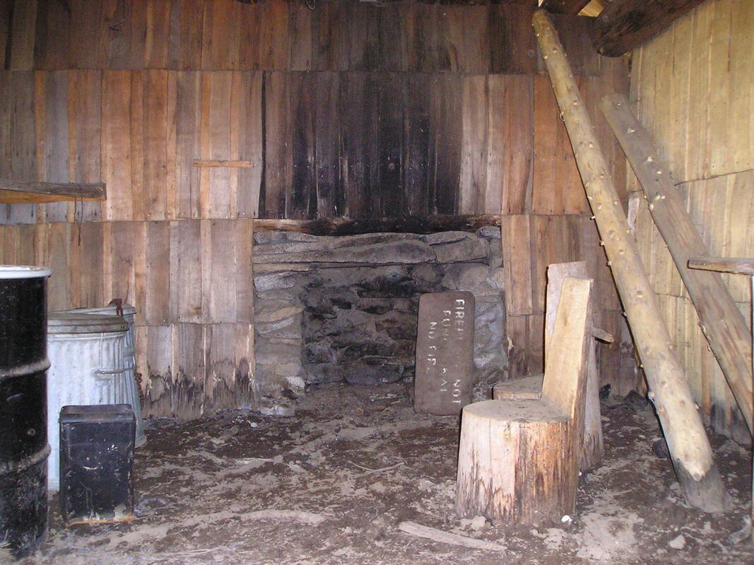
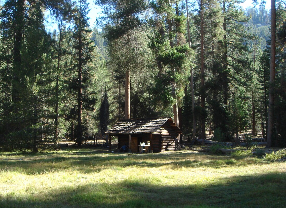
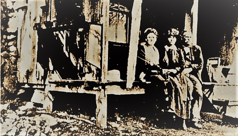
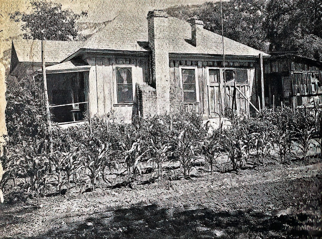
Around 1910, the Bartons began constructing a number of improvements at their Scaffold Meadows cow camp. These included a one-room log cabin with a fireplace, a covered porch, a dirt floor and no foundation, along with corrals and hitching posts, and several outbuildings to house tack, tools, food, equipment, a kitchen, and summer herdsmen.
In 1915, Hud wrote one of his many letters to the newspapers. Alarmed by rumors of a proposed enlargement of Sequoia National Park, he railed against the parties whose sole purpose, he claimed, was “getting the cattle shut out of the mountains and thereby letting vast quantities of feed go to waste for the selfish satisfaction of knowing that no one else can get any benefit from that which they cannot use or destroy themselves.”
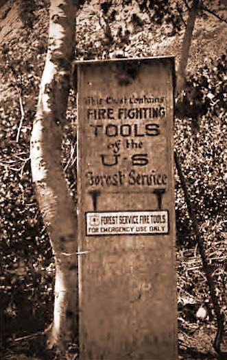
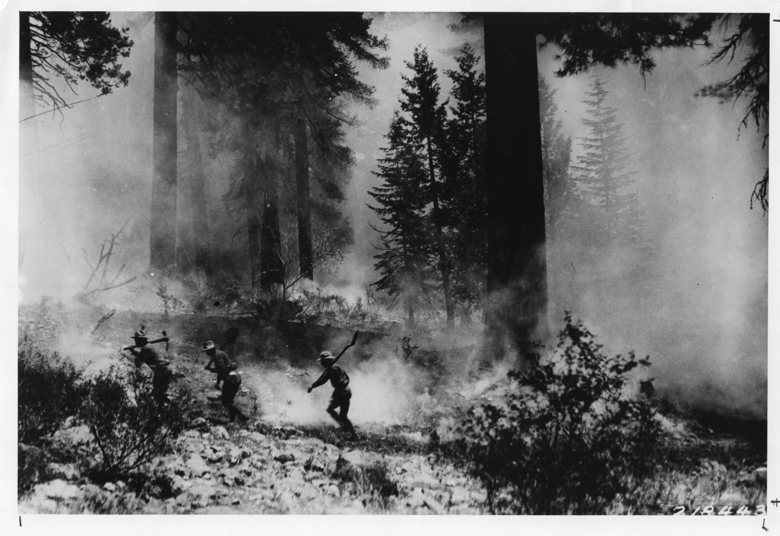
He emphasized that the cattlemen were “always ready and willing to help the rangers in case of fire and also to help the fish and game wardens in stocking barren lakes and streams” and lauded the forest rangers as “men of intelligence, always on the lookout for the interests and welfare of the tourist.”
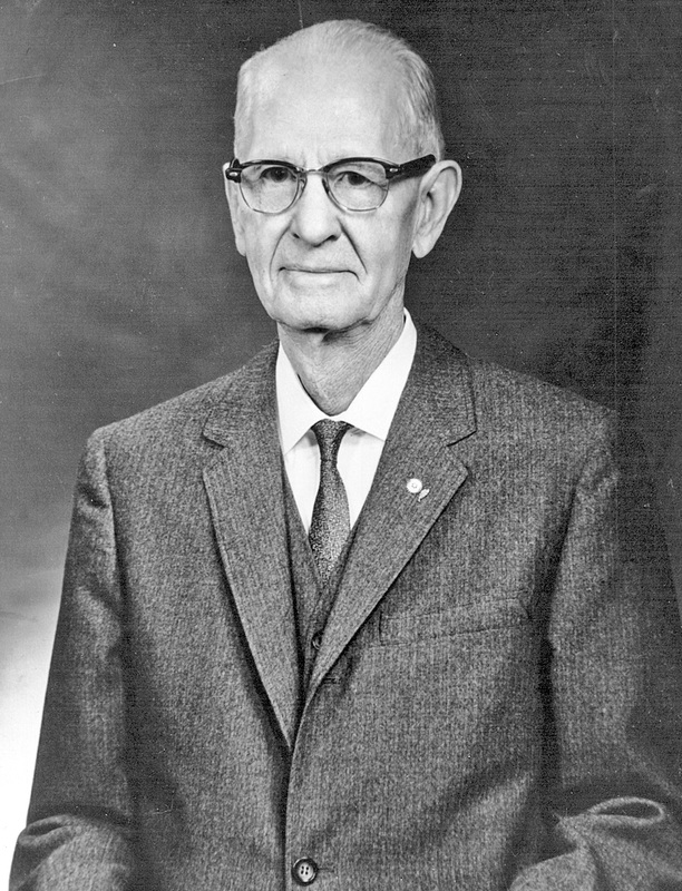
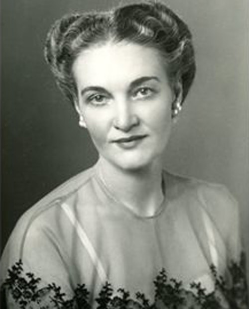
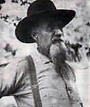
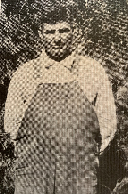
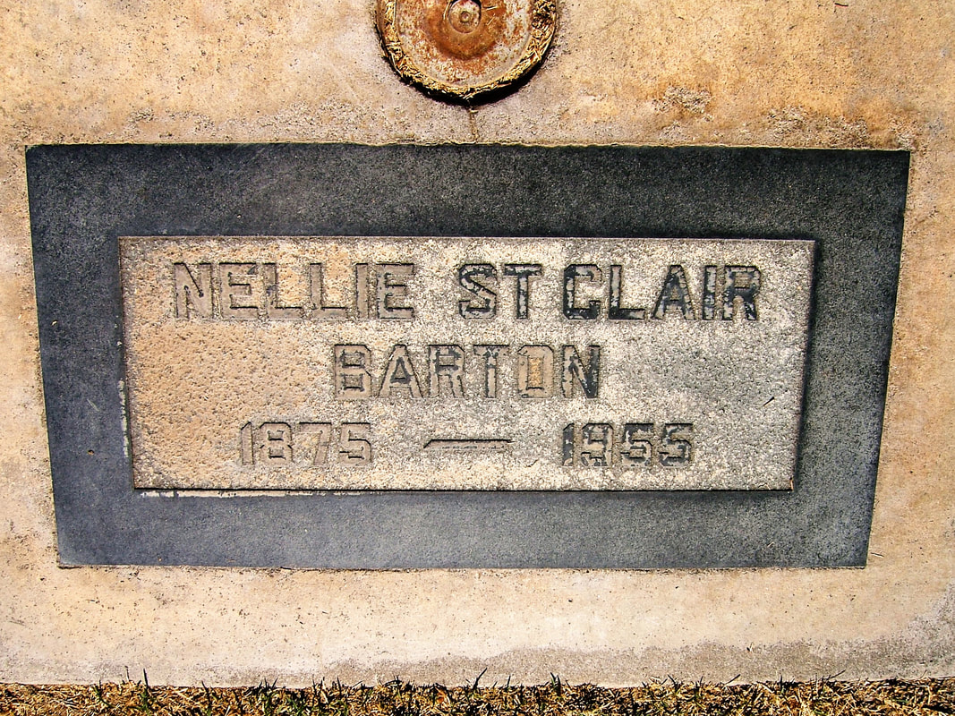
Meanwhile, Hudson and Jim, father and son, continued to graze their livestock at Scaffold Meadows, and their children and friends often accompanied them on the annual trail drives. In 1922, they met the new administrator of their summer range. Forest Ranger Albert Roswell Lackey had transferred from the Sierra National Forest to take charge of the Kings Canyon District of the Sequoia National Forest. In March, 1923, Jim’s daughter Sylvia married Al Lackey, who took over the Barton family’s cattle business after Hud and Jim died.
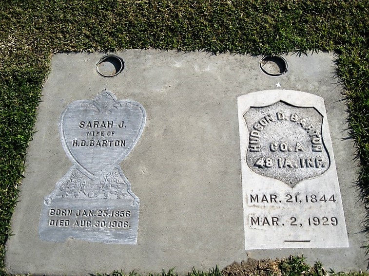
Hud died in 1929, at age 84, followed by Jim in July, 1931, at age 61. In accordance with his wishes, Jim’s body was cremated, and his ashes were scattered in the Roaring River country, “which he loved so well.” Al Lackey continued to take the cattle there every summer.
Then Kings Canyon National Park was established in 1940, and grazing was to be phased out. However, life-time use permits were granted to historic users of the area, including the Barton-Lackey cattle operation, since Nellie Barton was still alive. When she died, in 1955, Al Lackey obtained an extension of the grazing permit, but by 1960, the Barton-Lackey cattle had left the Roaring River country for good. Al continued the business in the Badger area until he retired three years before his death in 1967. (Sylvia died young, in 1953, of cancer.)
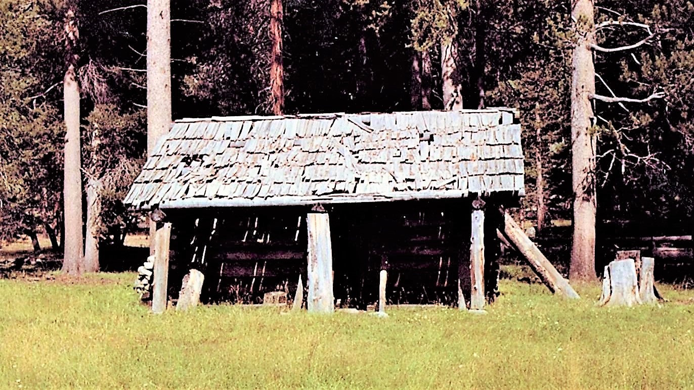
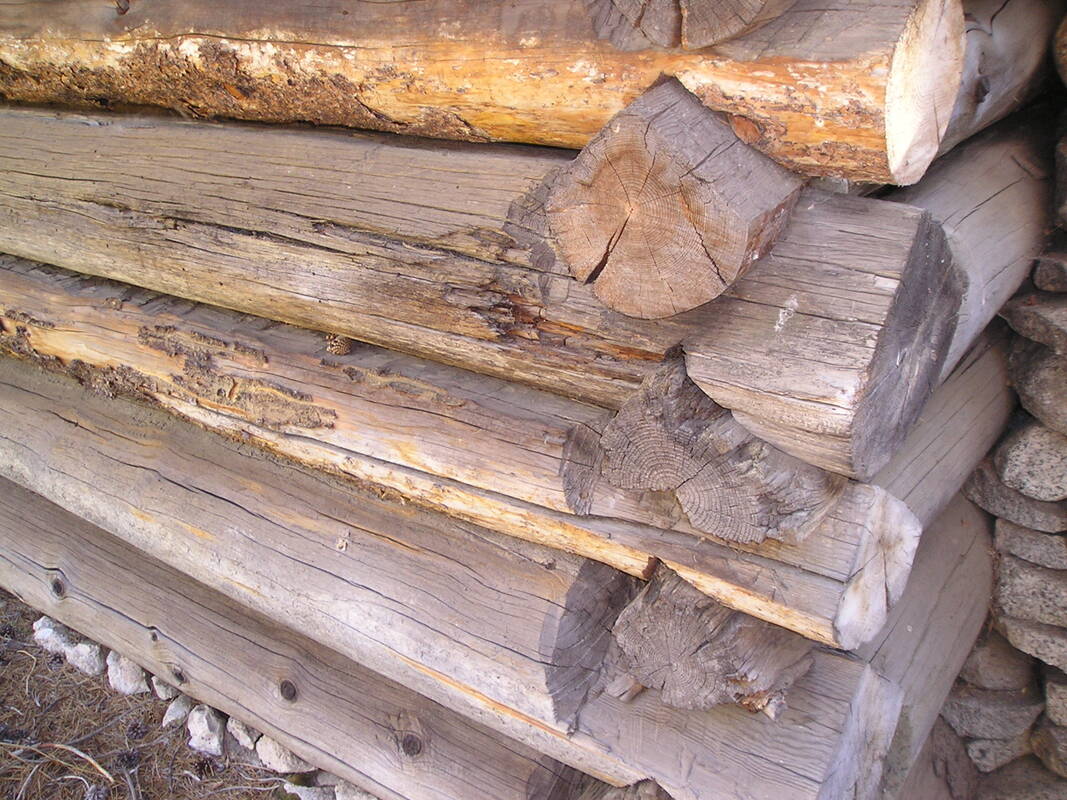
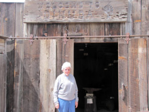
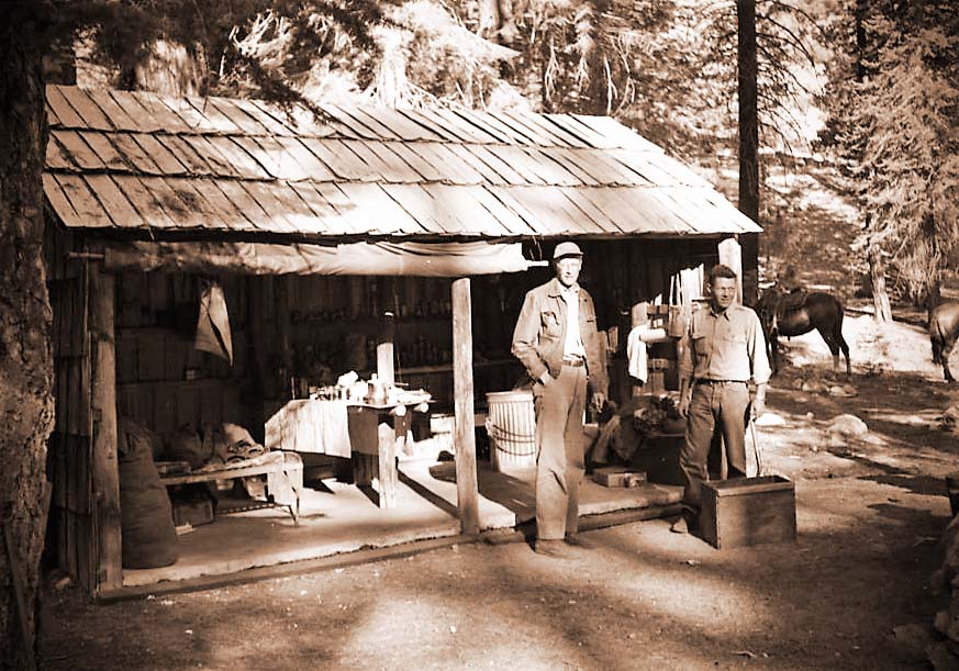
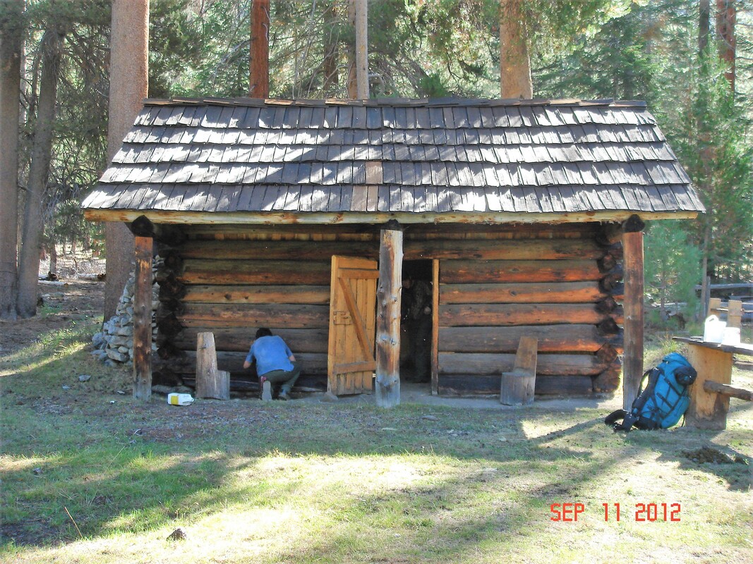
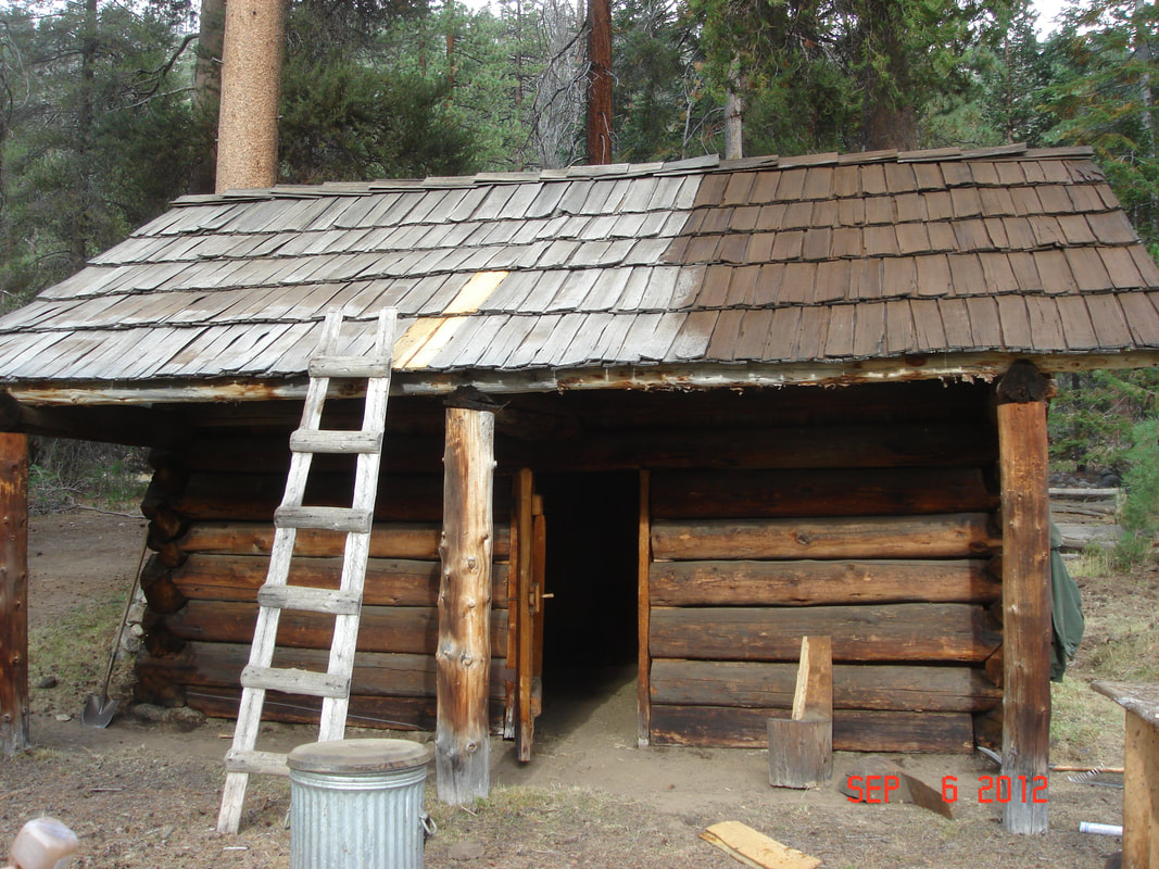
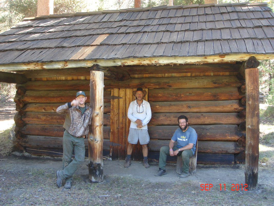
The National Park Service took over the fifty-year-old Barton-Lackey cabin and used it for many years as a storage shed. By the time Park staff nominated it for the National Register in 1977, the old fences and out-buildings were all gone and the historic cabin, which had never been altered from its original appearance, needed significant repairs and reconstruction. That work was done in the early 1980s and was accomplished again authentically in 2012 by the Parks’ Historic Preservation crew, led by Thor Riksheim.
Into the twenty-first century, Barton descendants, along with thousands of backpackers and trail riders, have continued to visit the family’s summer cabin and to recall its long history in Tulare County. While mining, logging, and domestic livestock herding are not allowed in the National Park, the Park Service preserves the Barton-Lackey cabin as a visible reminder of the Euro-American pioneers’ presence on and uses of this land, which sustained Native Americans’ summer uses for thousands of years before them and will be protected for as long as the national parks endure.
June, 2021
“Auckland was located just north of Cottonwood Creek on the old Millwood Road . . . . Phillip Sweet, a native of Aukland, New Zealand, built a dry goods store there around 1860. . . . A post office was established on August 24, 1889, and lasted until November 19, 1912, by which time there was little left of Auckland but memories.” — Chris Brewer, 2002
“Crossing Cottonwood Creek was the feed yards for the many teamsters and then, the old town of Auckland. [O]n the right was the Hud Barton homestead. . . . The Jim Barton place is where the Orlopp turkey ranch later was. . . . Again on the left was the Auckland School. To the right and across the road was the Ansel [sic] Smith place. . . . Ansel’s wife was Lottie, the daughter of Jim Barton.” — Crawford Osborn, 05/10/1920, via Pat Hart & Larry Jordan
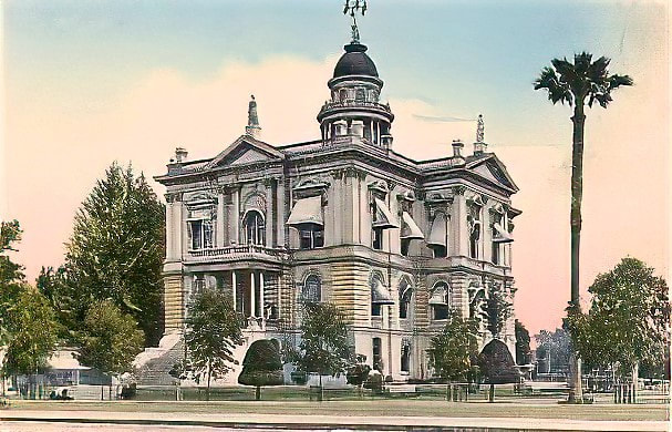
James T. Barton served five terms as a Tulare County Supervisor between 1869-1892; the county courthouse was built in 1876 under his supervision. He died in Three Rivers in 1912. His son Orlando also later settled on a ranch in Three Rivers and raised cattle and hogs on the site of what became the River Inn. He became a well-known writer of articles about Western subjects.
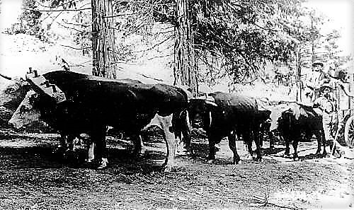
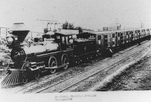
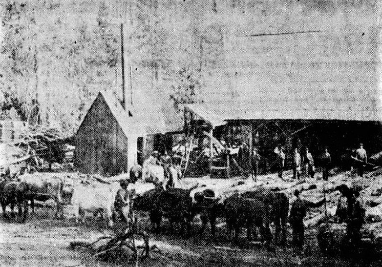
“One of the last bull teams to be used around our mills, in the mountains. This ‘power house’ belonged to Jim Barton, of Auckland, and his partner, Dave Wortman. . . . It was those teams along with the mule teams that started Auckland on its way.” — Pat Hart, 02/18/1975, in Dinuba Sentinel
“The early stockmen realized that the only way to save their animals from the recurring droughts was to drive them up to the Sierra high country [where] the grassy meadows provided relief . . . during the summer. Each year, the stockmen return[ed] to meadows they often claimed as their own. Within the rugged Kings River drainage, . . . their names became affixed to the high . . . Kings Canyon area . . . . ” — Gene Rose, 2011
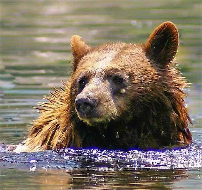
“Neal Barton, [while] spending the summer at Jim Barton’s cattle camp . . . killed a brown bear [that] weighed 450 pounds, being six feet six inches from tip to tip. . . . The animal visited the camp of Ralph Merritt, president of the Sun Maid Raisin Growers on several occasions. . . . While . . . keeping watch alone, . . . Barton fired with a heavy rifle, the shot striking the animal which fell into the river, swam to the opposite shore, and there fell dead.” — Visalia Times Delta, 08/11/1927
“Most early stockmen saw the Sierra as open range, that is, public land and forage available to whoever got there first. Gradually they claimed ‘proprietary rights’ to certain meadows based on their established use — a de facto seniority system. But as the demand for forage increased, so did the competition for the mountain meadows.” — Gene Rose, 2011
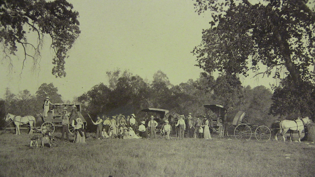
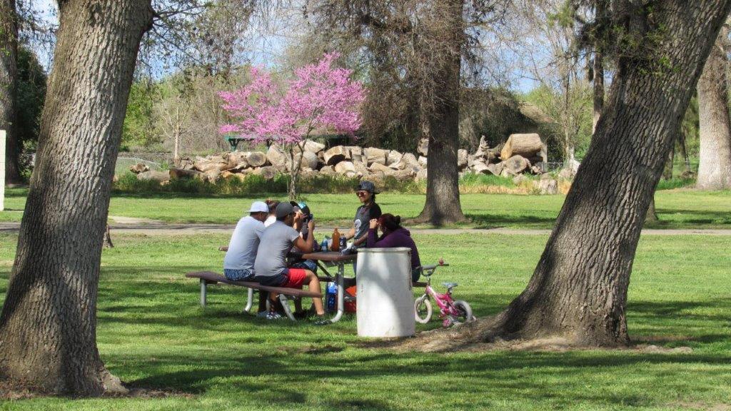
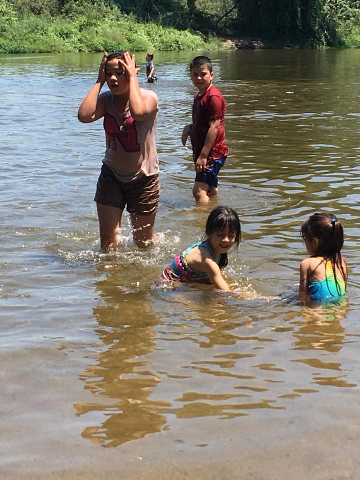
Numerous cattlemen were now bringing their animals to the summer range, and the Roaring River area was also popular with tourists and long-term campers (Tulare County residents had been escaping the Valley’s searing summer heat for decades by spending weeks and even months in the high country, and General Grant and Sequoia national parks had been established in 1890).
“Those summer and fall cattle drives to the high country and back each year will long be remembered. It was always a thrill for the young people to make the trip back to Roaring River, Big Meadows, Quail Flat, and Zumwalt Meadows just for the sport of the trip, plus some nice fishing when they arrived.” — Pat Hart, 02/18/1975
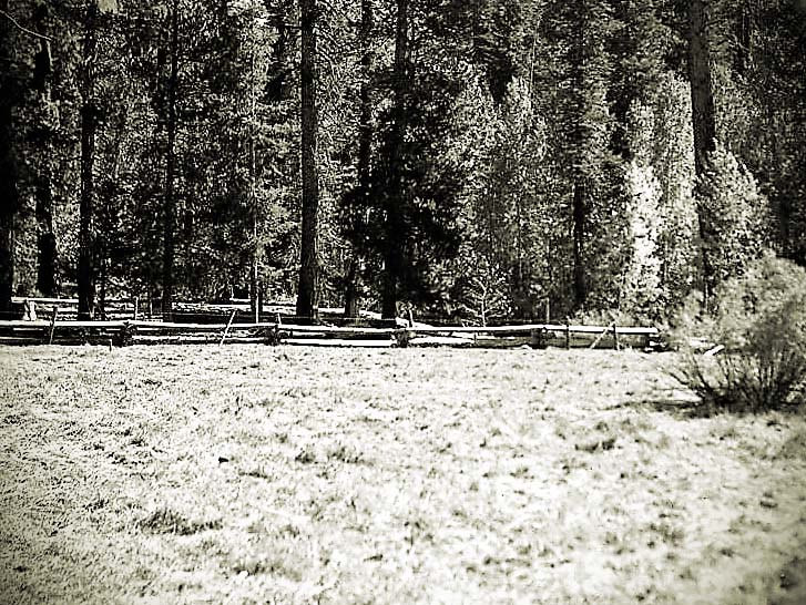
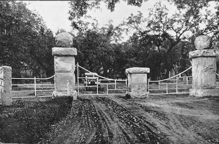
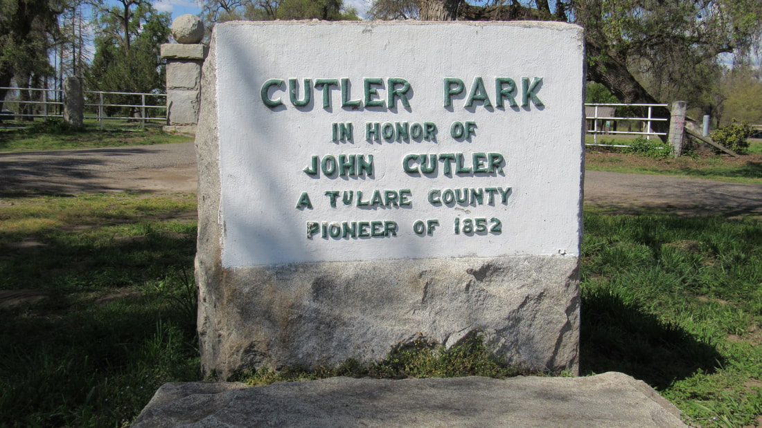
The Bartons’ compound was located on land that since 1893 had been part of the Sierra Forest Reserve, which had set aside four million acres of land for permanent public ownership. In 1905, the U.S. Forest Service was established to administer these public lands, the Tulare County portion of which had been named Sequoia National Forest in 1908. In 1913, the Bartons and their neighbors the Cutlers fenced one of the Scaffold Meadows at their own expense for the use of tourists and campers, to be managed by the local forest ranger.
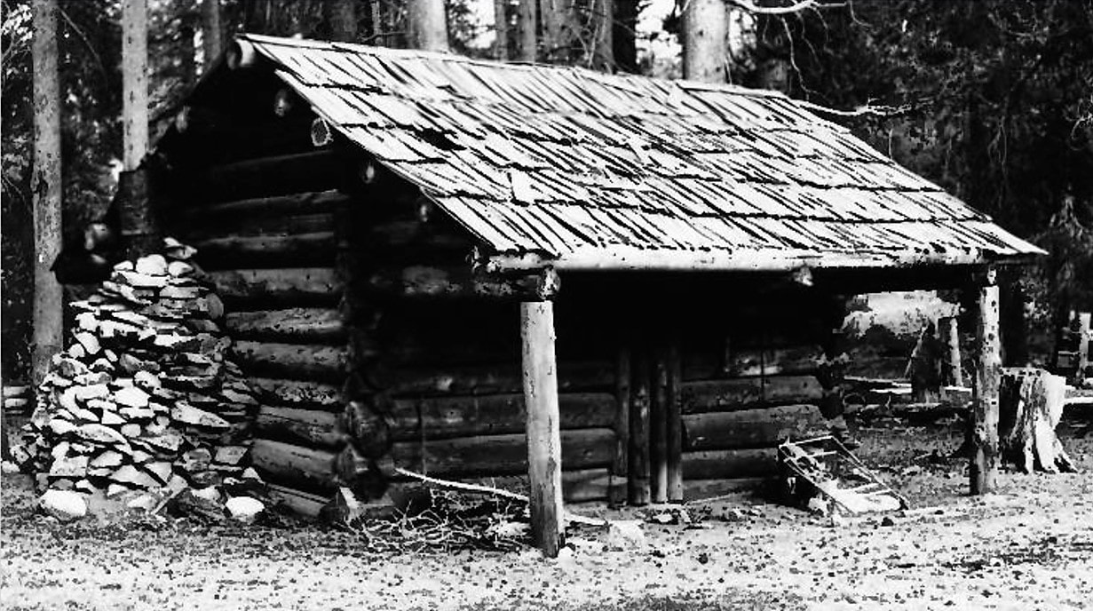
The Bartons’ traditional one-room log cabin measures 12 by 20 feet inside. Its covered porch runs the length of the southwest side, making the overall exterior size 17 by 21 feet. The wall logs rest directly on the ground without benefit of foundations. It has a shake roof. The northwest wall includes a large fireplace and chimney and a small window. — from William C. Tweed, NRHP Nomination Form, 1977
“Most of the cattle will be brought out of the forest reserve between the first and the middle of October, permits being granted until October 15.” — Dinuba Sentinel, 1913
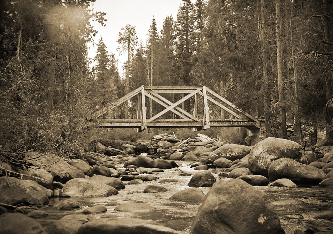
“To prove that the cattle men are not vandals,” Hud enclosed with his 1915 letter to the Visalia Daily Times opposing the expansion of Sequoia National Park “a picture of a bridge across Roaring River, built by cattle men by request of the ranger for the benefit of the public, which will very probably not be kept in repair if taken into the park.”
“The Barton-Lackey cabin is a surviving remnant of the period when cattle grazing was the major industry of the Roaring River portion of the Kings Canyon country. The Barton-Lackey clan . . . were one of the first cattle families to enter the area and one of the last to leave. They are remembered in the name of Barton’s Peak which towers on the southern rim of the canyon near their old cabin.” — William C. Tweed, NRHP Nomination Form, 1977
Directions:
From Visalia, take Hwy 198 east past Three Rivers and into Sequoia National Park, where it becomes the Generals Highway.
Follow this highway to the Big Meadows turn-off in Giant Sequoia National Monument.
Follow this road (Forest Rte. 14S11) past the Big Meadows Campground to the Marvin Pass/Rowell Meadow trailhead parking at the end of the Sunset Meadow spur road (Forest Rte. 13S14) from Horse Corral Meadow.
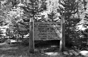
Take the trail (about 14.5 miles; see map below) via Rowell Meadow and Comanche Meadow to the Sugarloaf Trail to the Roaring River Ranger Station.
Cross the bridge over Roaring River, turn left, and follow the obvious use trail to the cabin.
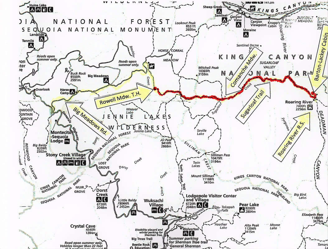
Alternate Hiking Directions:
The Barton-Lackey cabin can also be reached out of Lodgepole via the Twin Lakes Trail, which quickly enters Kings Canyon NationalPark, and then via the Sugarloaf Trail (about 24 miles).
The Barton-Lackey cabin can also be reached from Roads End at the bottom of Kings Canyon via the Bubbs Creek and Avalanche Pass trails (about 15 miles and very scenic, but a very challenging 5,000 foot climb over the pass).
(Note that you can visit one of Shorty Lovelace’s cabins by starting from the Roaring River Ranger Station and hiking up nearby Cloud Canyon on the Colby Pass Trail about 6 miles to the area of Shorty’s cabin near the Whaleback. See https://www.tularecountytreasures.org/shorty-lovelace-historic-district.html)
,