 Click on photo for more information.
Cannell Meadow National Recreation Trail, Sequoia National Forest
by Laurie Schwaller
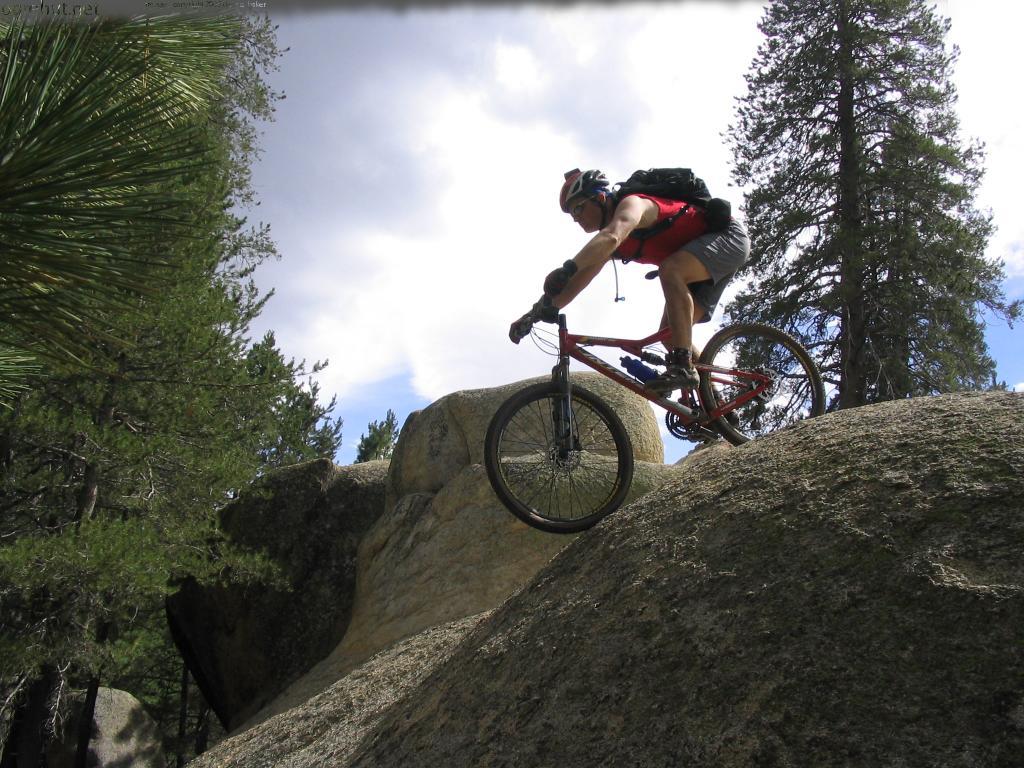
Sequoia National Forest’s super scenic Cannell Meadow National Recreation Trail runs south 23.7 rugged miles from 9200′ elevation at Sherman Pass on Tulare County Road J-41/FR 22S05 to about 2600′ just south of our county line above Kernville and Lake Isabella. Open year-round (check for snow closures in winter; Sherman Pass Road is likely to close sometime in November until late May/early June), no fee or permit required (except free permit required for campfires), for backpacking, birding, camping, hiking, horseback riding, and mountain biking (middle section closed to mechanized/motorized use), this challenging trail travels through mixed pine and fir forests, meadows, and chaparral, with plenty of major ups and downs, ending in its epic 9-mile-long, 5,000′ Plunge.
October. 2025
NOTE: The Project Team will be conducting research for a full article page as volunteer time allows. Contact us if you would like to help research, write about, and/or illustrate this Treasure!
There is no quick way to get to the Cannell Meadow National Recreation Trail’s top end, on Sherman Pass Road, and you will likely want to arrange a shuttle to meet you at the south end, above Kernville and Camp Owen, on Rd M99/Sierra Way, at the Cannell Meadow trailhead (trail #33E32). These are long and winding roads over the Greenhorn Mountains .
From Visalia, take Hwy 198 east to Hwy 65 south past Porterville to Ducor. Go east (left) from Ducor on Sierra Ave./M-56/Hot Springs Drive through Fountain Springs and California Hot Springs to the junction with Rd 23S03 over Parker Pass to Johnsondale. (Do not go left [north] onto the Forest Hwy/Western Divide Hwy; continue east on Rd 23S03 and Kern River Hwy to Johnsondale.) Continue east on Kern River Hwy out of Johnsondale to the junction (just after you cross the bridge over the Kern River) with Rd 22S05/Sherman Pass Road and follow Sherman Pass Road to Sherman Pass Vista and the trail start (trail #33E32).
Sherman Pass Road is typically open late May/early June through mid-to-late November; check road conditions before your trip.
To get to the southern end of the trail, from Visalia, take Hwy 198 east to Hwy 65 south past Ducor to its junction with Hwy 155. Go east (right) on Hwy 155 to Wofford Heights, then north (left) on Hwy 495 to where you will cross the river to go north (left) up Hwy M99/Sierra Way past Camp Owen to the Cannell Meadow trailhead (trail #33E32) on your right; park beside road 33E32.