 Click on photo for more information.
Visiting the Squatters Cabin in Sequoia National Park
by Laurie Schwaller
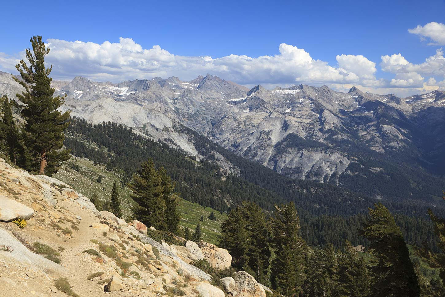
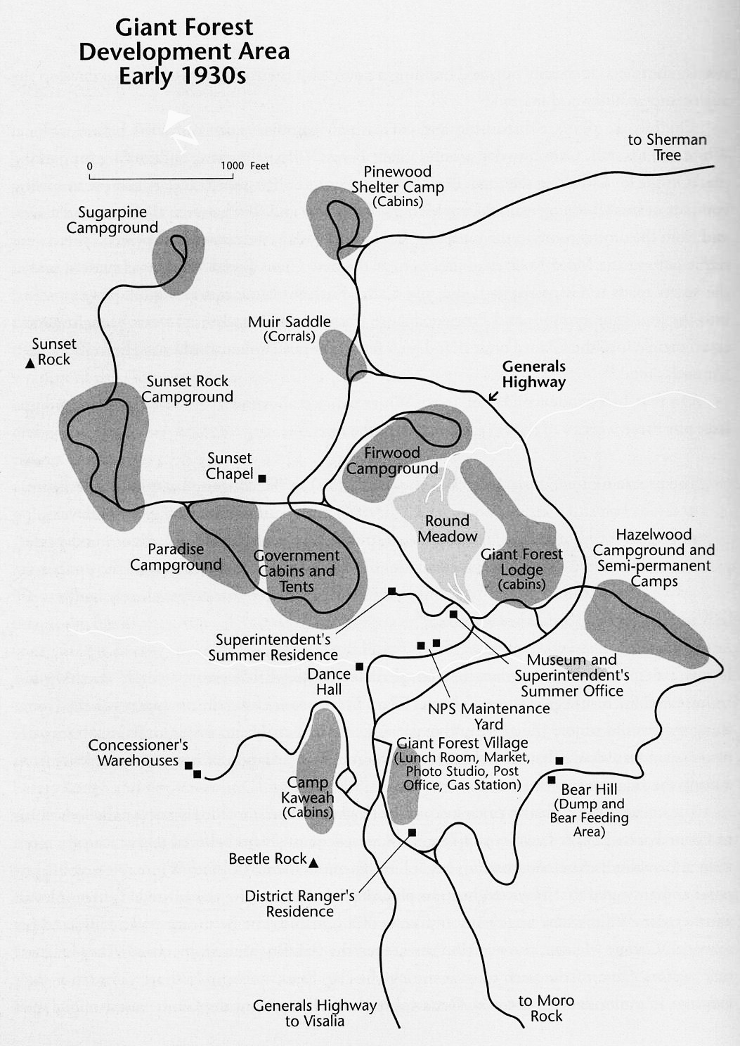
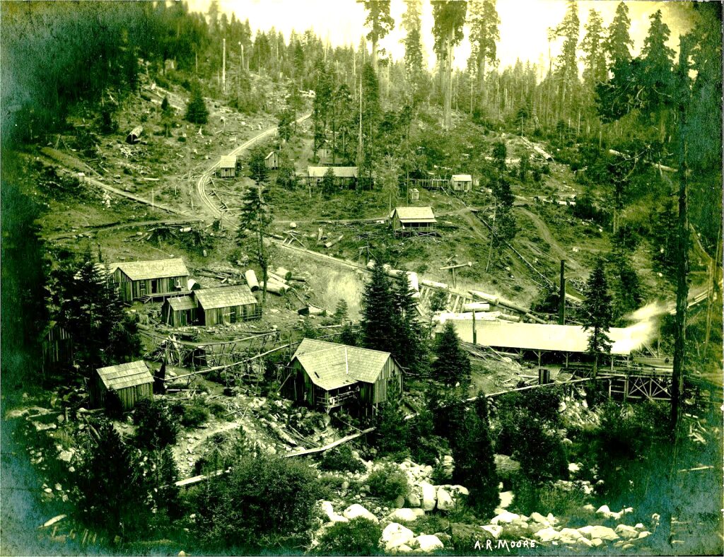
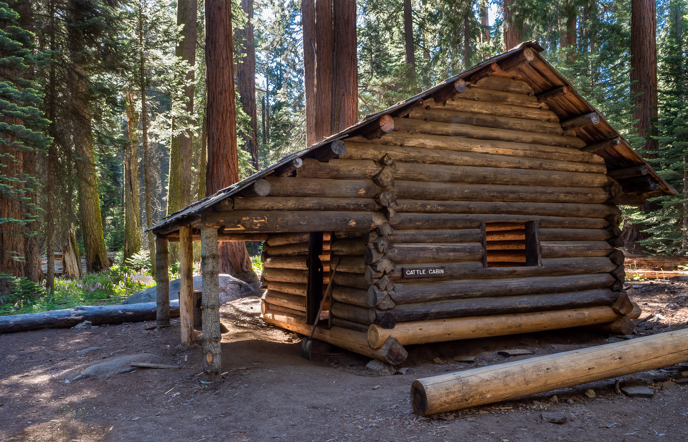
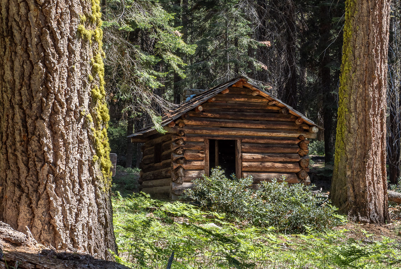
The Squatters Cabin, one of Sequoia National Park’s oldest remaining buildings, is also one of only two known remaining structures of the historic Kaweah Colony (along with the Colony Mill Road, now a hiking trail). The fascinating stories of this ill-fated idealistic, socialistic colony and the founding of our nation’s second great national park are deeply intertwined, centering issues, trends, philosophies, and controversies that are still very much alive today. This homestead cabin beside peaceful Huckleberry Meadow amid the ancient giant sequoias, stands literally and figuratively at a nexus of these ongoing conflicts. Read this history!
December, 2025
NOTE: The Project Team will be conducting research for a full article as volunteer time allows. Contact us if you’d like to help research, write about, and/or illustrate this Treasure!
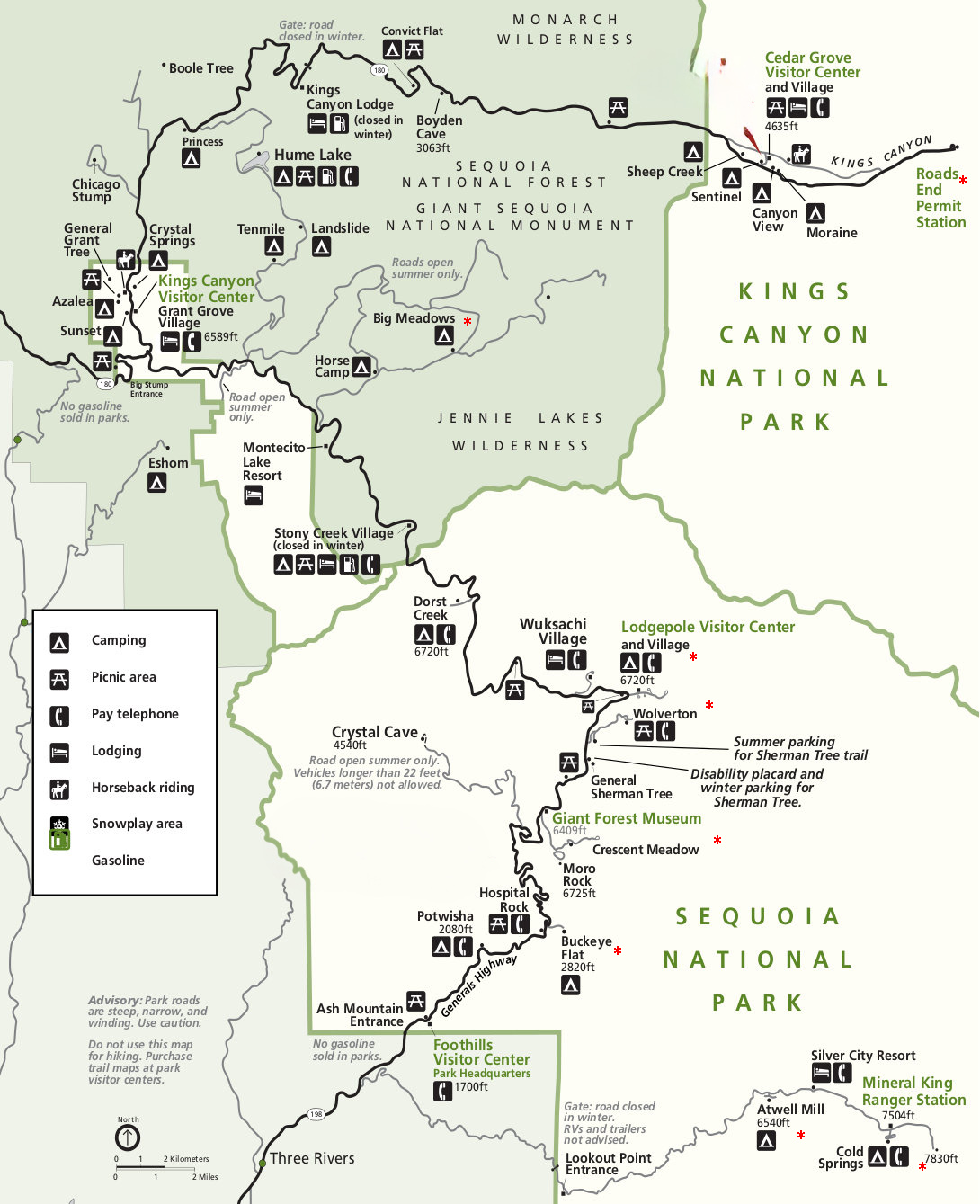
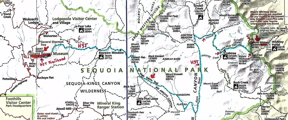
From Visalia, go east on Hwy 198 through Three Rivers to the Sequoia National Park entrance station (fee), where Hwy 198 becomes the Generals Highway.
Continue up the mountain on the Generals Highway to just before the Giant Forest Museum, where you will turn right onto the Moro Rock/Crescent Meadow Road.
Follow this road (bearing left where the road to Moro Rock bears to the right) to the Crescent Meadow parking lot and the trailhead on the west (left-hand) side of Crescent Meadow going to Huckleberry Meadow.
(NOTE: Crescent Meadow Road may be closed in peak season (typically mid-May to mid-September) to automobile traffic; if so, you can park across the highway from the museum and then catch the Gray Route 2 shuttle to Crescent Meadow).

Take the Crescent Meadow trail on the left (west) side of the meadow and go north to the first trail junction, where you’ll go left (west) toward Huckleberry Meadow.
At the next junction, go straight (west) toward Huckleberry Meadow. Soon you’ll see the Squatters Cabin, sitting just a bit above the meadow, on your left.
Nearby Treasures: Tharp’s Log, near the northwest edge of Log Meadow, trailhead at Crescent Meadow; Moro Rock Stairway, just a short loop drive off the Crescent Meadow Road.