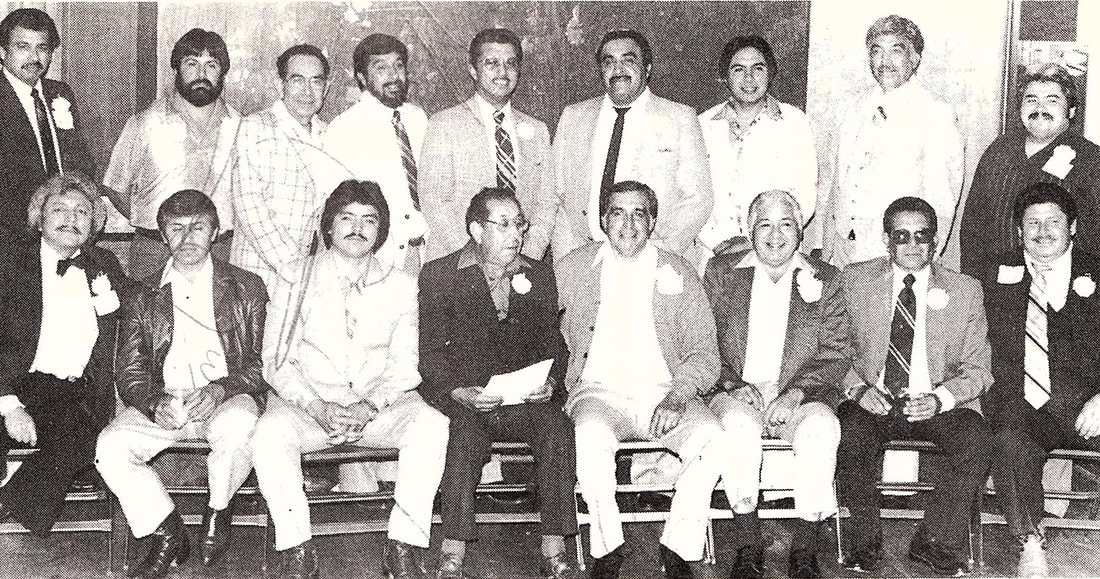
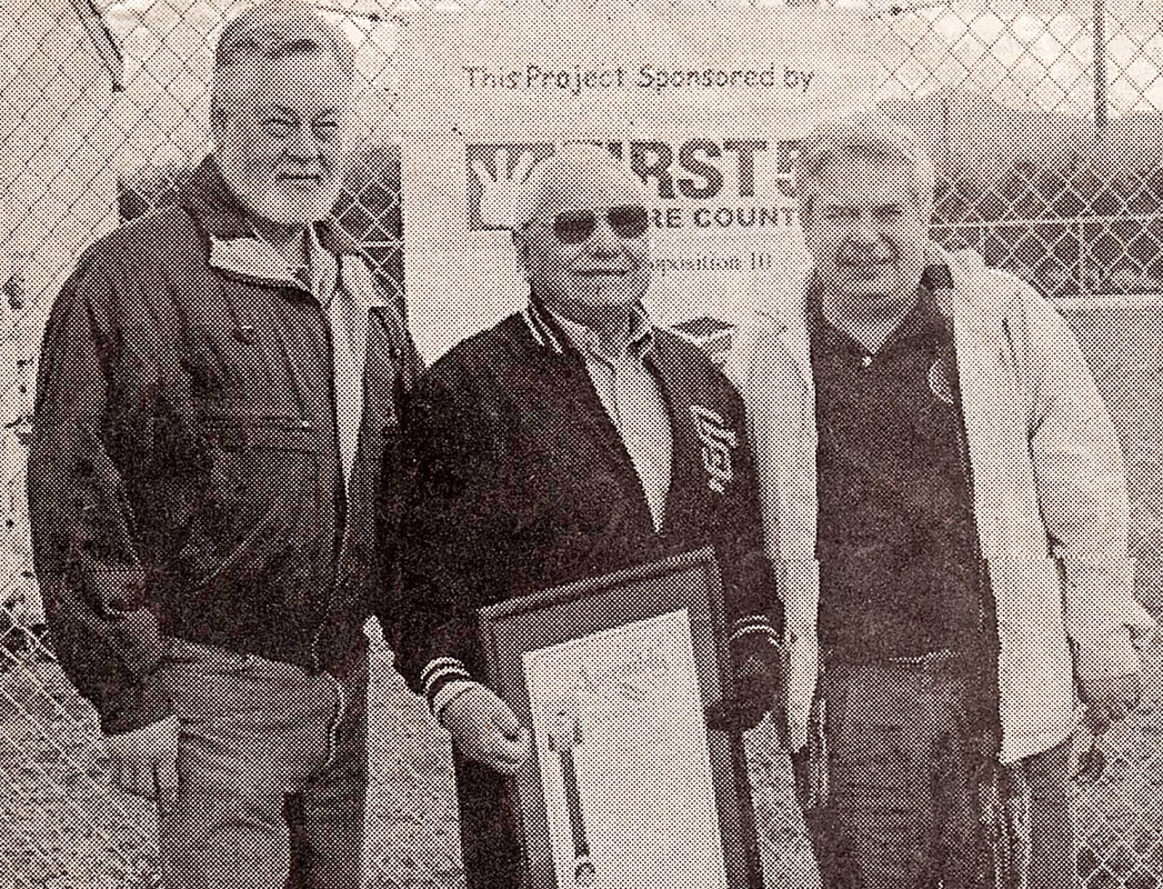
 Click on photos for more information.
The Classic 1912 Elster Building, Springville’s Retail Center Then & Now
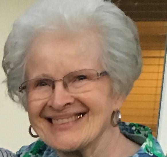
by Laurie Schwaller
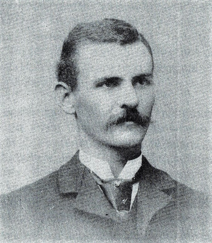
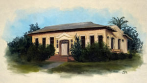
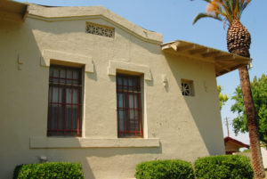
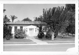
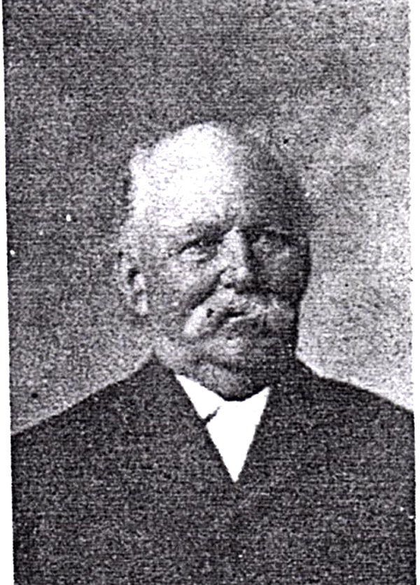
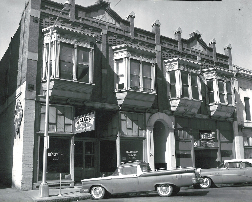
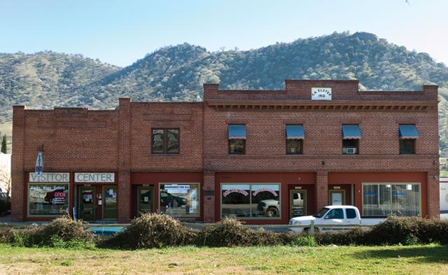
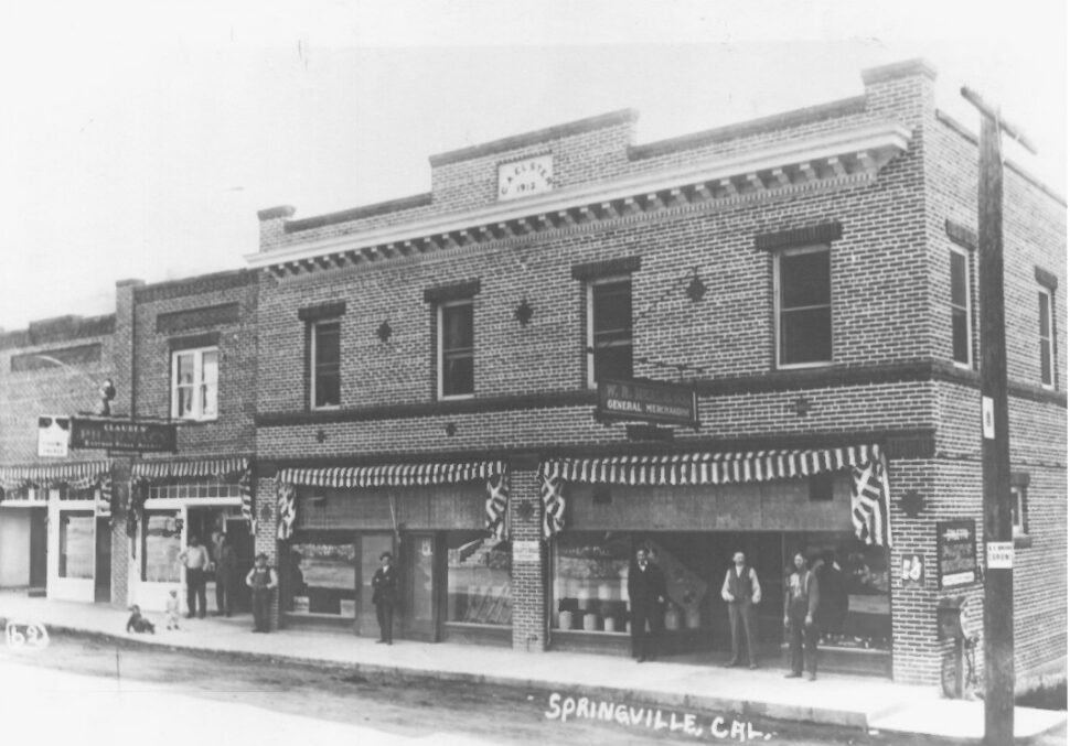
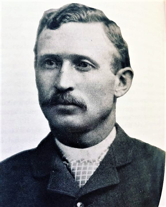
Charles Augustus Elster built a two-story brick business block on Main Street in the little foothill community of Springville in 1912. For well over a hundred years now, this classic structure has anchored Springville’s “downtown.” It has had many different owners and tenants and survived two fires, but its handsome Main Street exterior remains almost unchanged from the long-ago day of its grand opening, and it continues to house a variety of businesses serving locals and visitors alike.
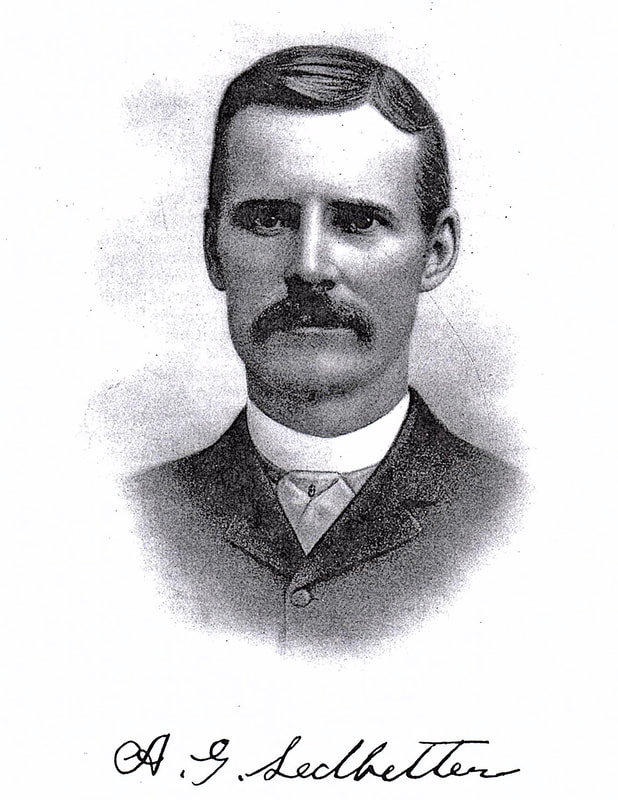
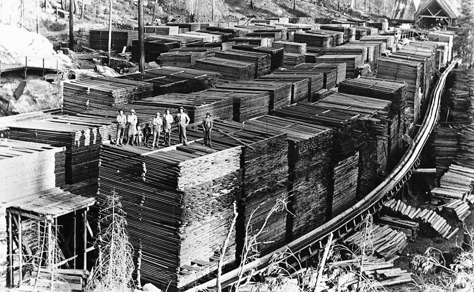
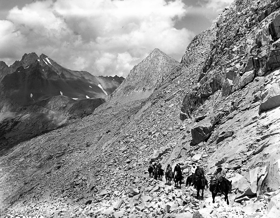
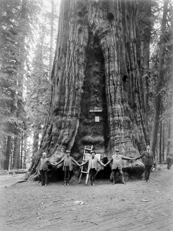
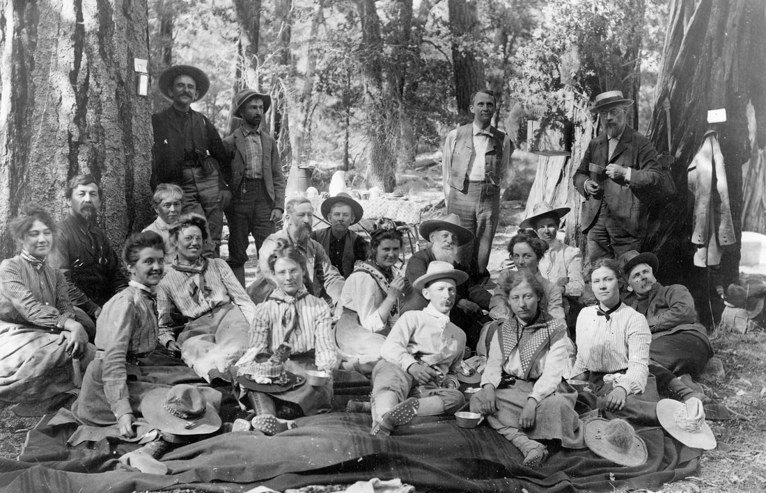
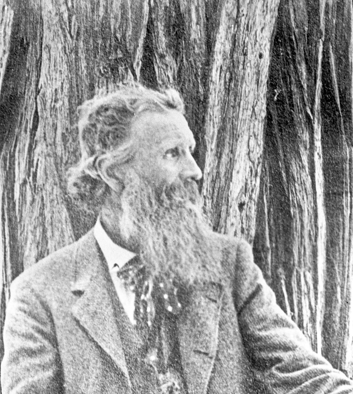
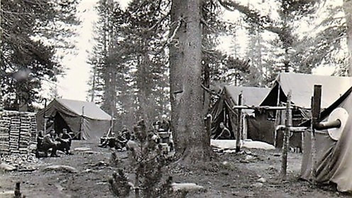
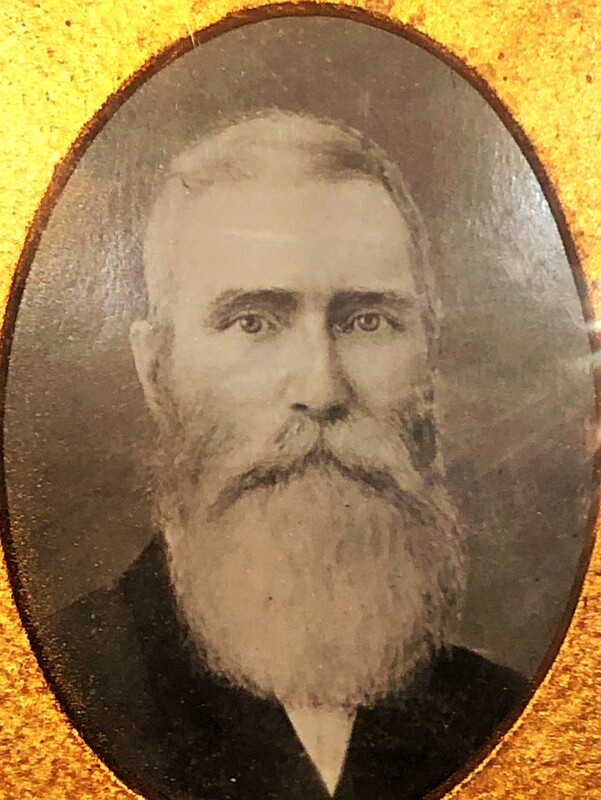
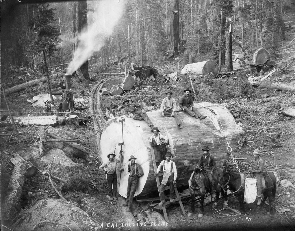
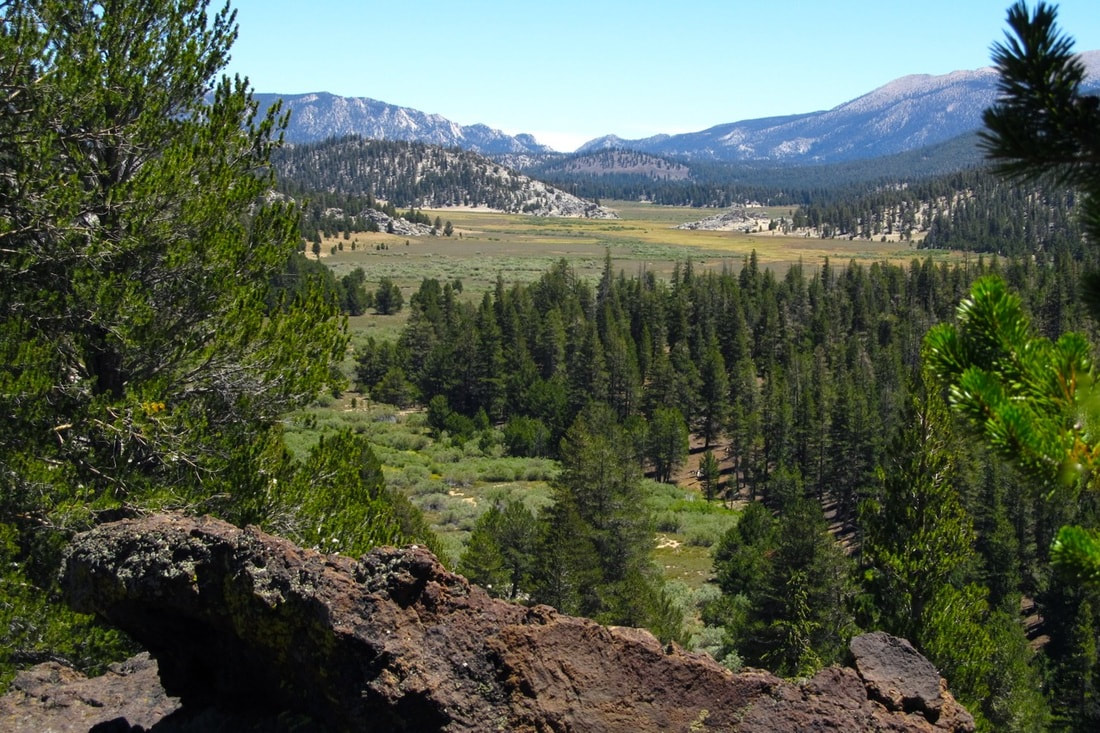
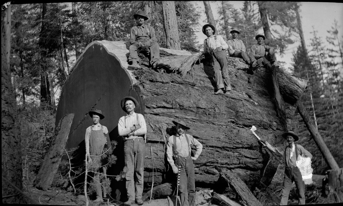
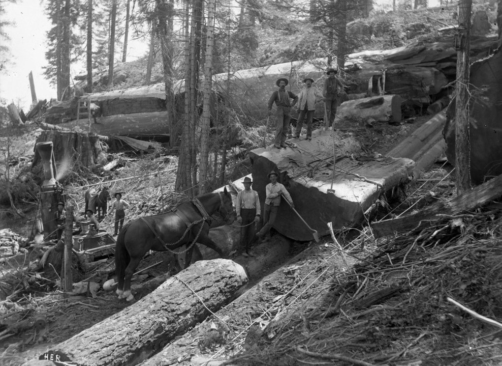
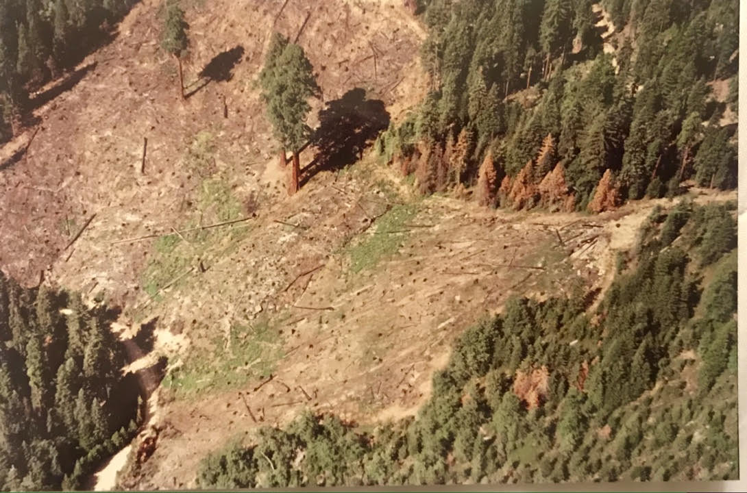
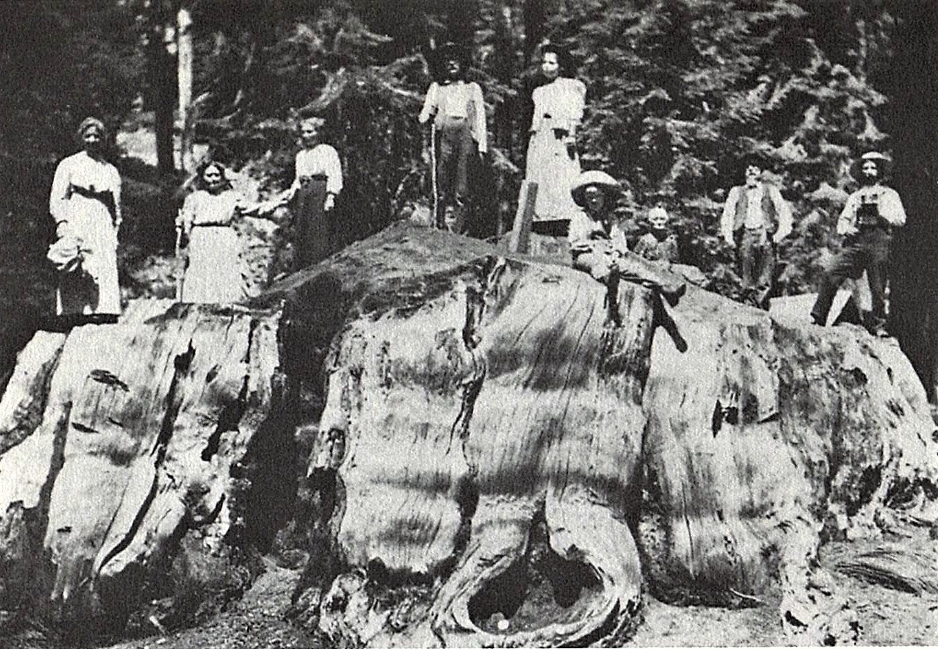
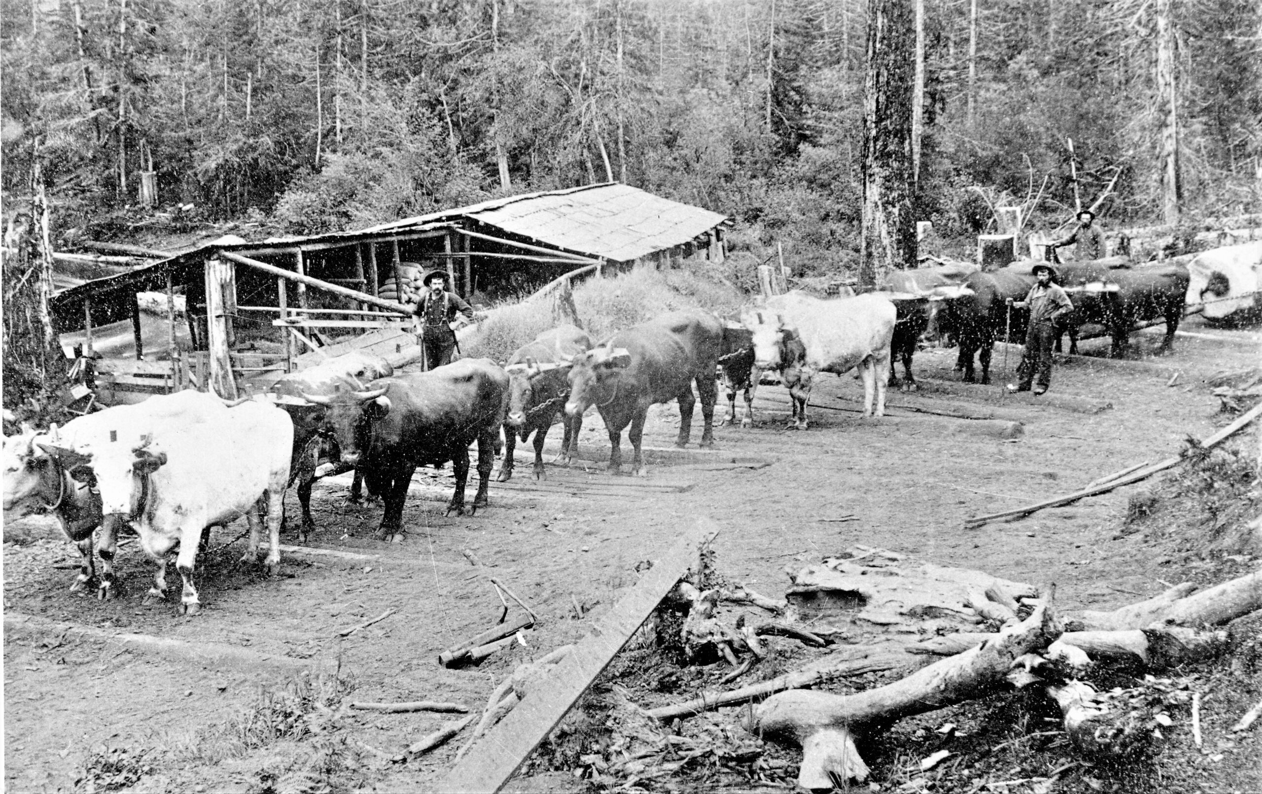
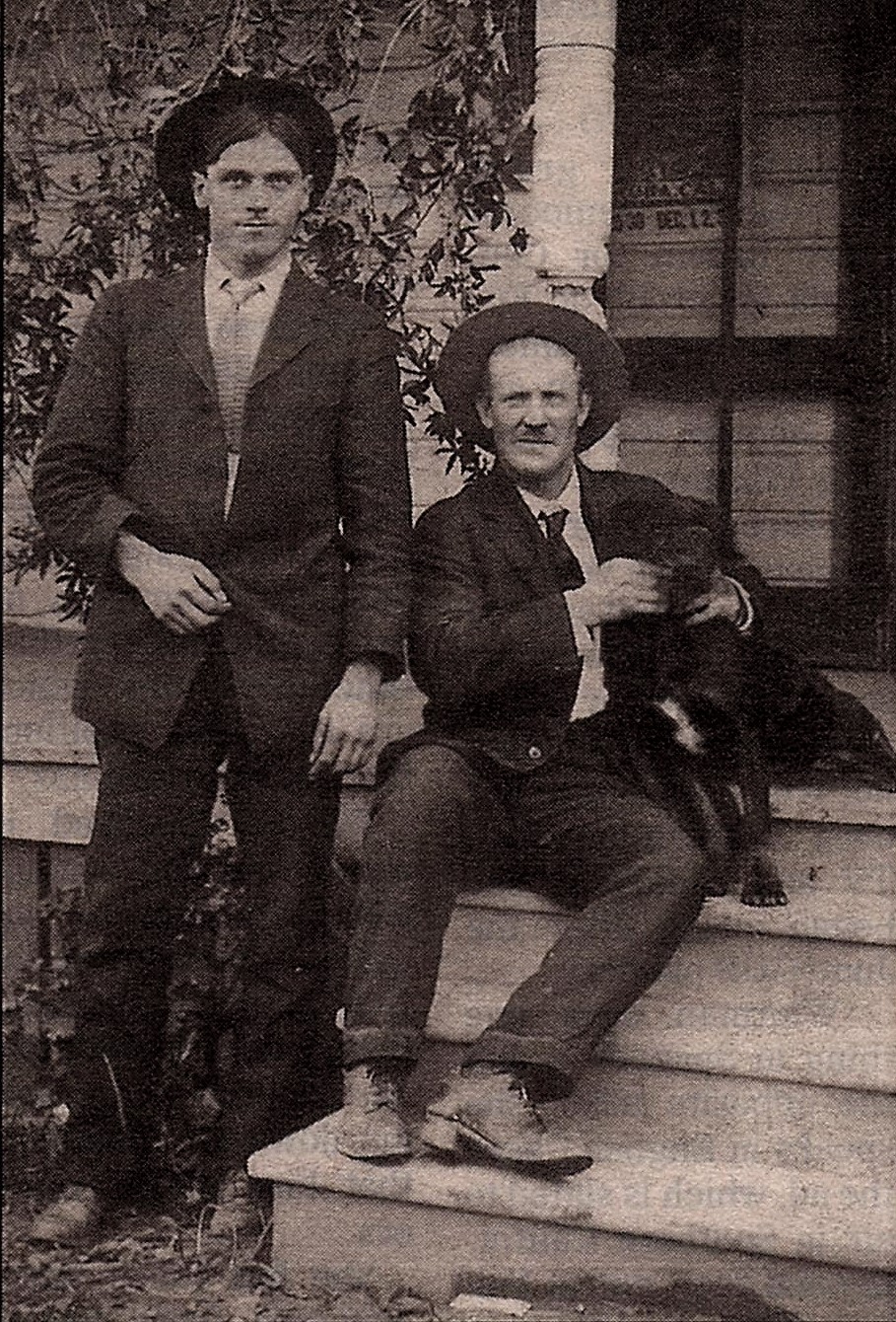
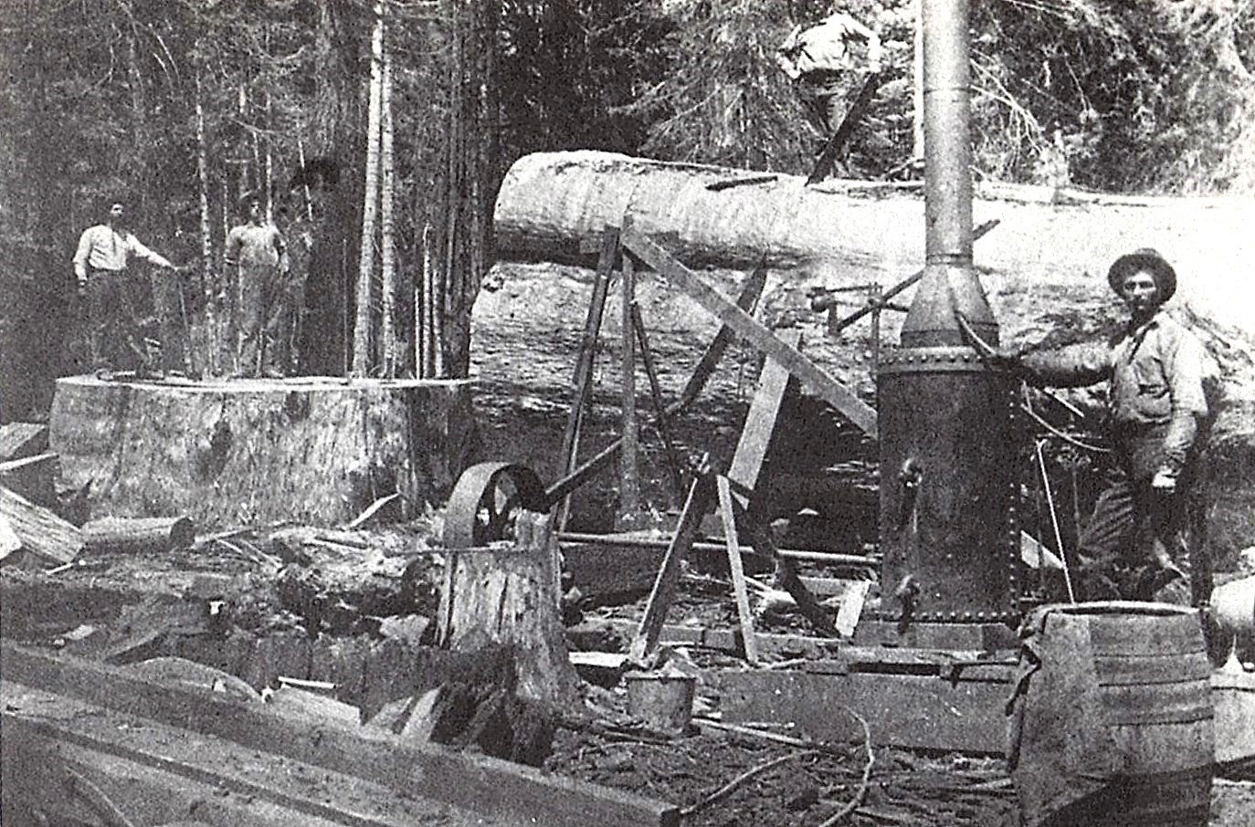
Charles’s parents, Alonzo and Rebecca Elster, arrived in Tulare County with their eight children in 1866, when Charles was three. They settled first in Visalia, then moved to the foothills of the Tule River watershed to engage in logging, milling, and ranching, which, for over forty years, through booms and busts, were staples of the area’s industries.
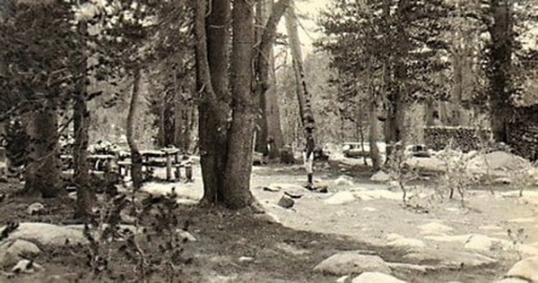
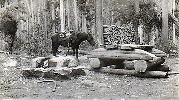
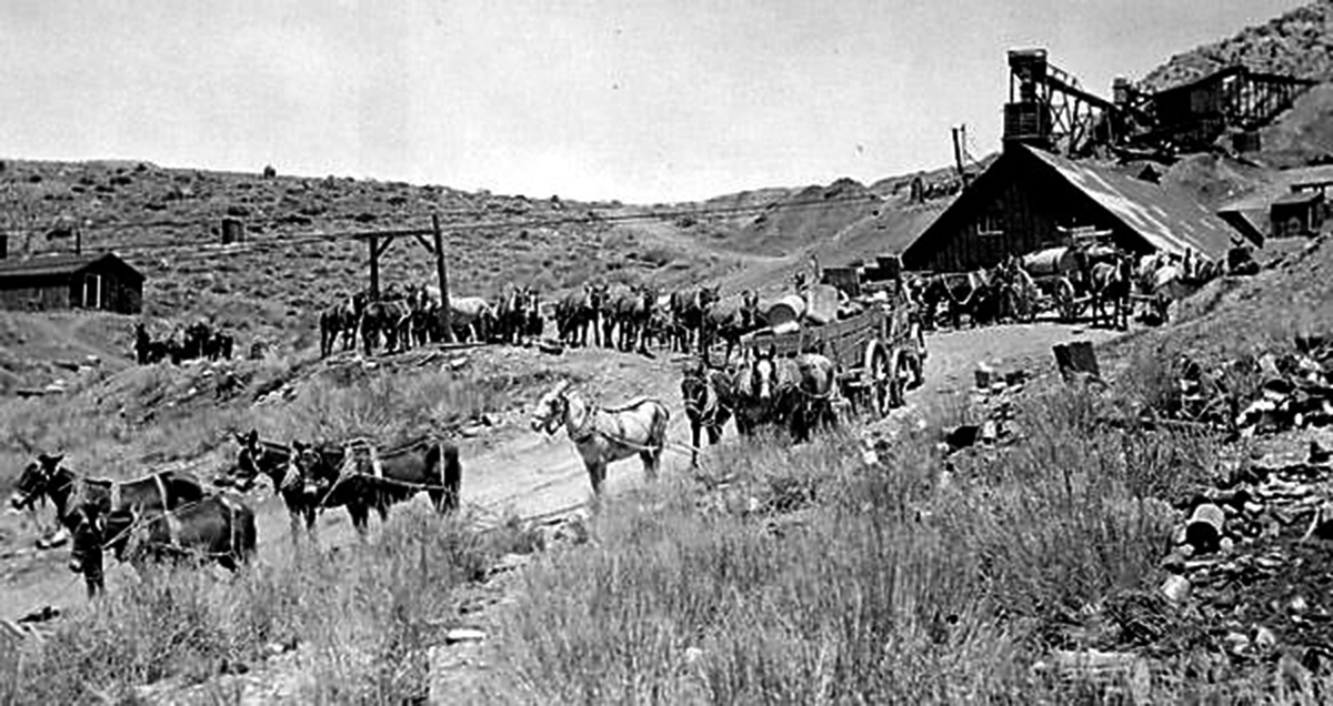
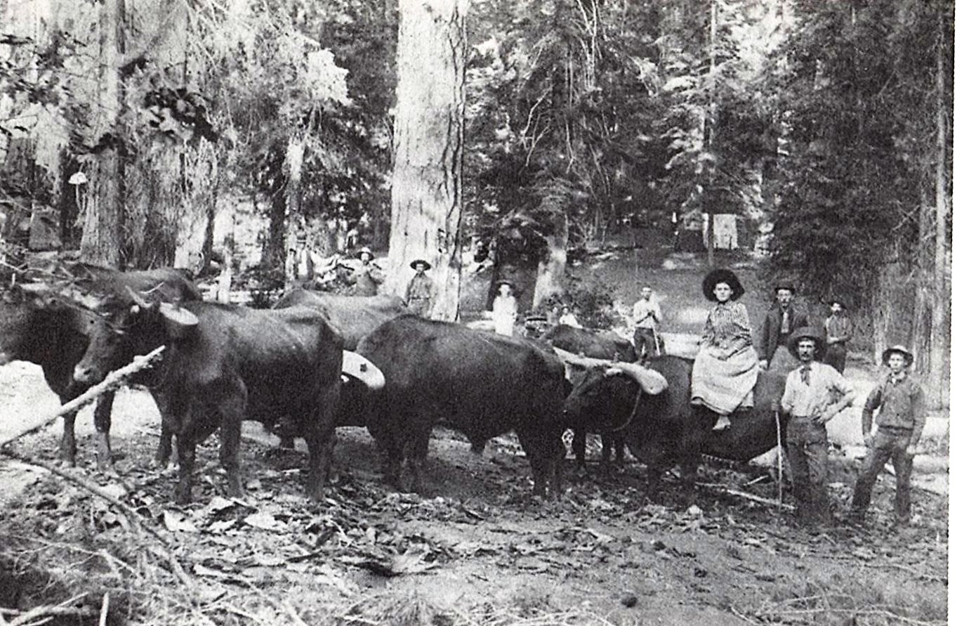
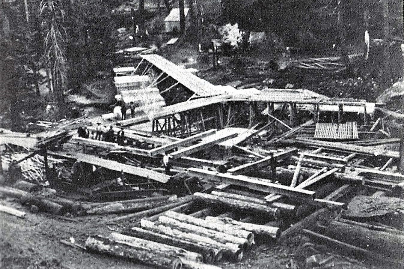
Charles bought his first land claim before he was 21, labored hands-on and learned his way up through the hard jobs in the forest, and in 1903, built his own mill just a few hundred yards above the old Mountain Home Hotel.
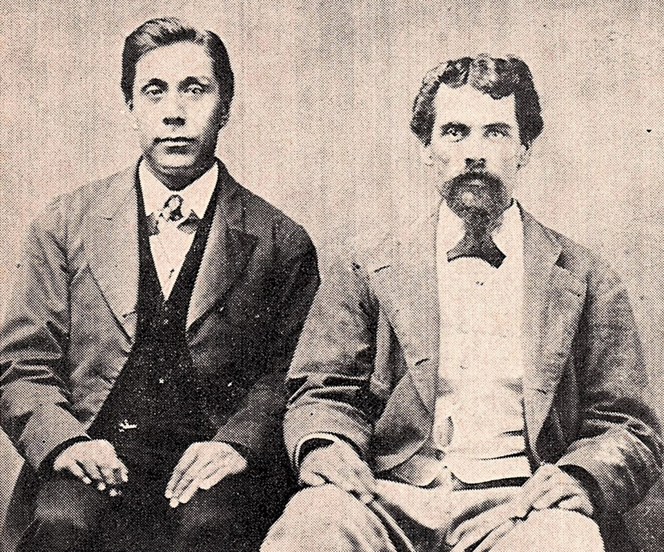
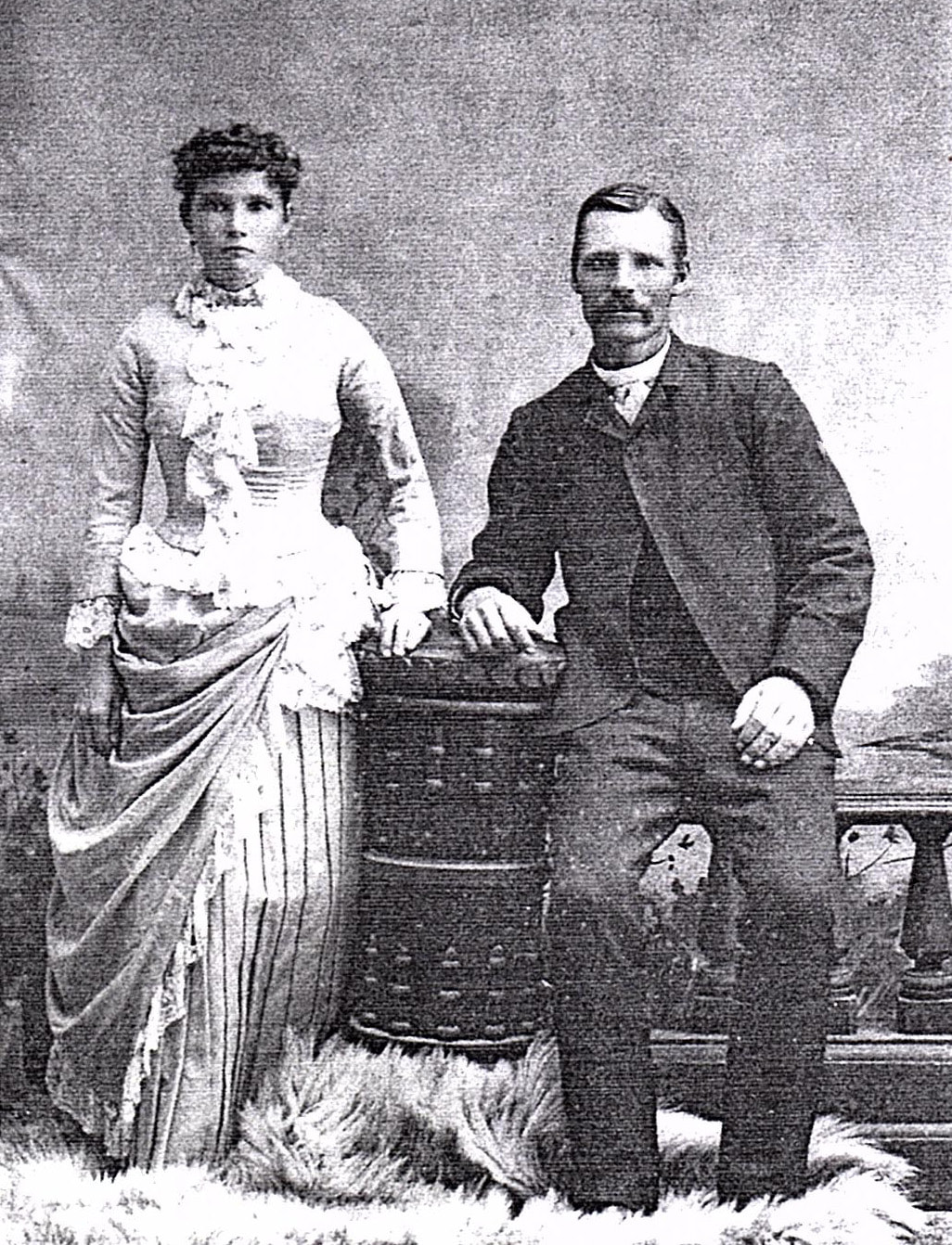
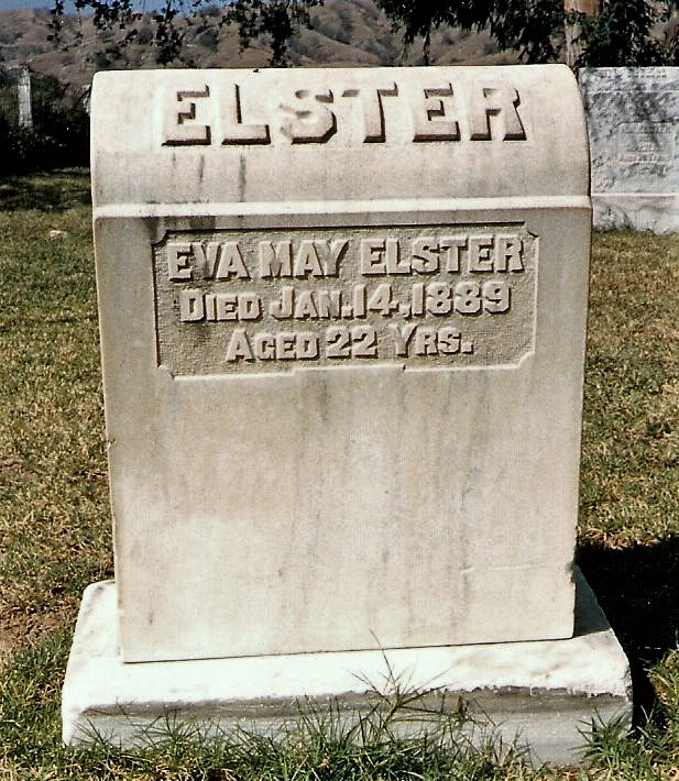
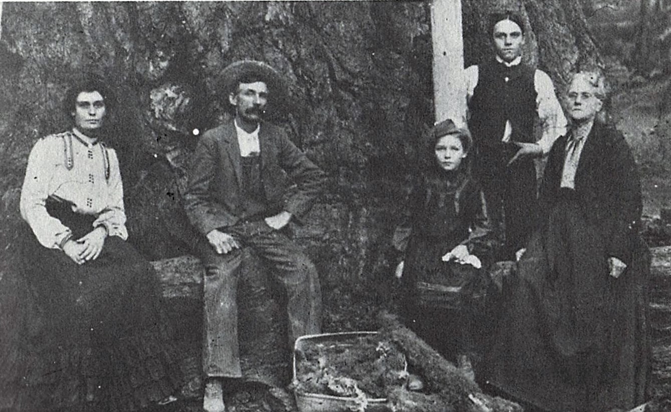
In 1888, he wed 20-year-old Eva May Hubbs, daughter of local pioneer timber man James R. Hubbs. Two years later, Eva May died soon after birthing Charles’s only son, Irvy. In 1892, he married Eva’s younger sister, Mary Arminda “Minnie” Hubbs, age 17, who bore Charles’s only daughter, Lora, in 1894.
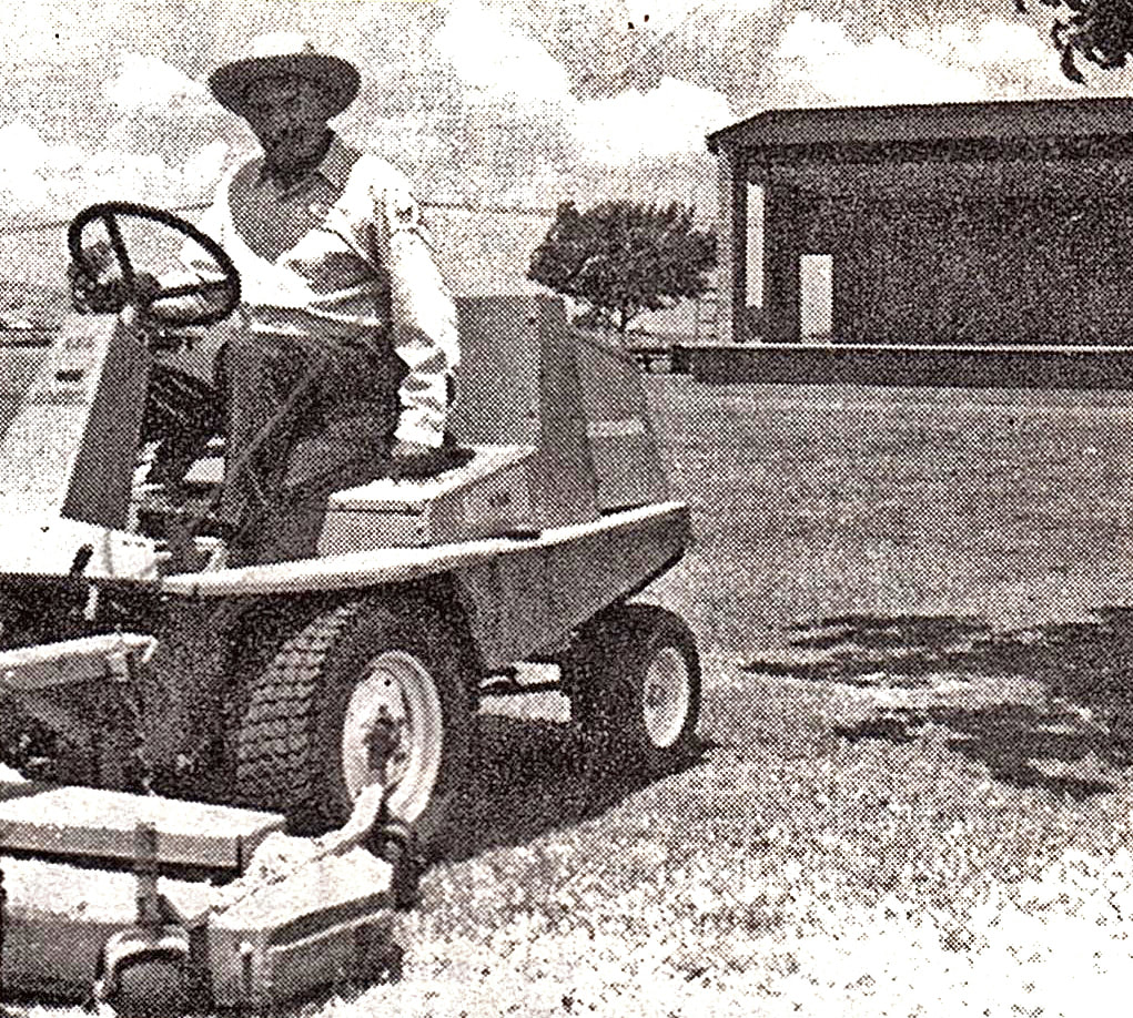
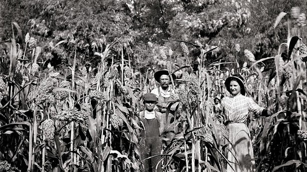
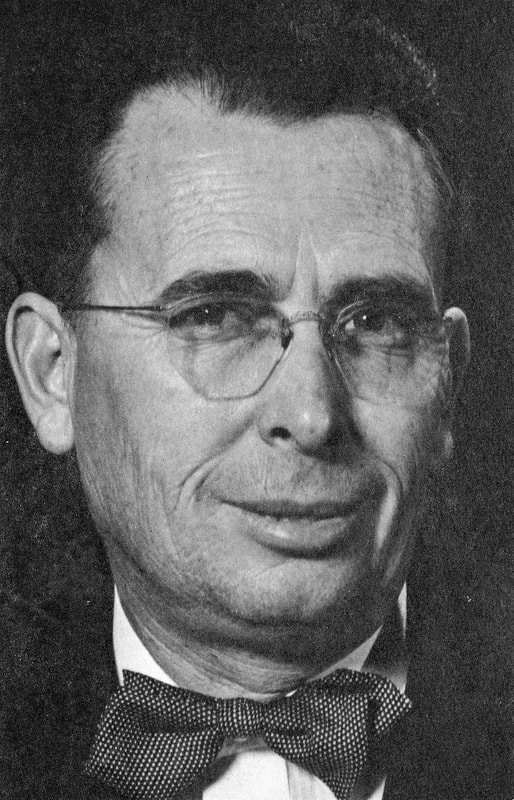
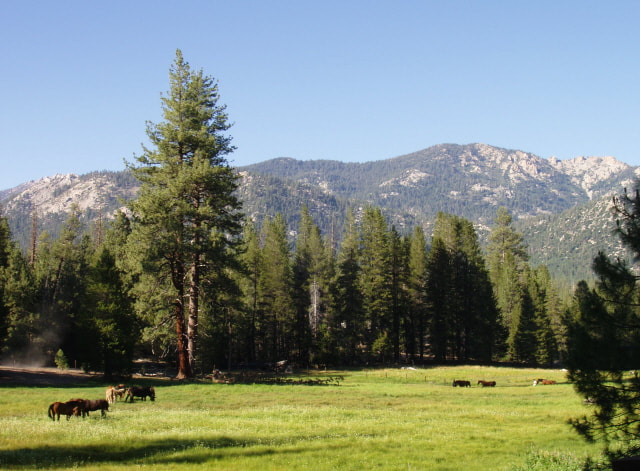
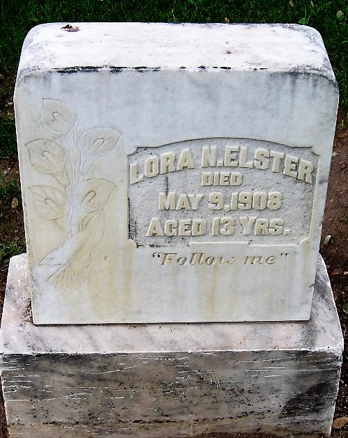
Despite financial difficulties as the area’s limber industry began shutting down in 1904, the amputation of most of son Irvy’s right leg in 1902, and the death of daughter Lora, age 13, in 1907, Charles and his family persevered. Charles turned to ranching and stock raising and became active in large enterprises, including developing reliable water supplies and distribution, rail transportation, electric power — and Springville as a business center — all essential to the commercial success of these industries and the Springville region.
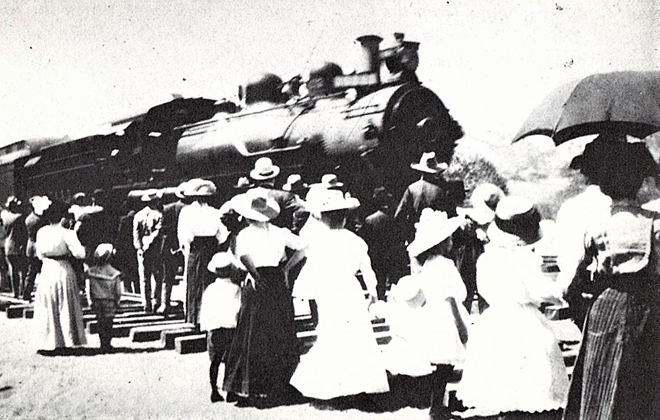
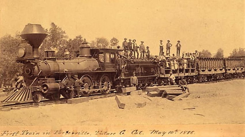
He and other visionaries formed the Tulare County Power Company and secured valuable water rights on the Middle Fork of the Tule, which would be developed to provide electricity to the growing town. Their corporation also worked to bring an electric railroad to Springville, but a competing, steam-powered line, the Porterville Northeastern Railroad, got there first, with its inaugural engine rolling into town on September 9, 1911.
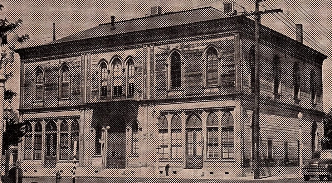
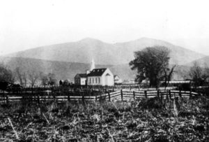
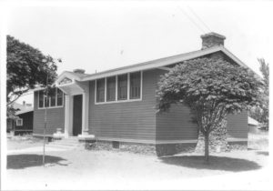
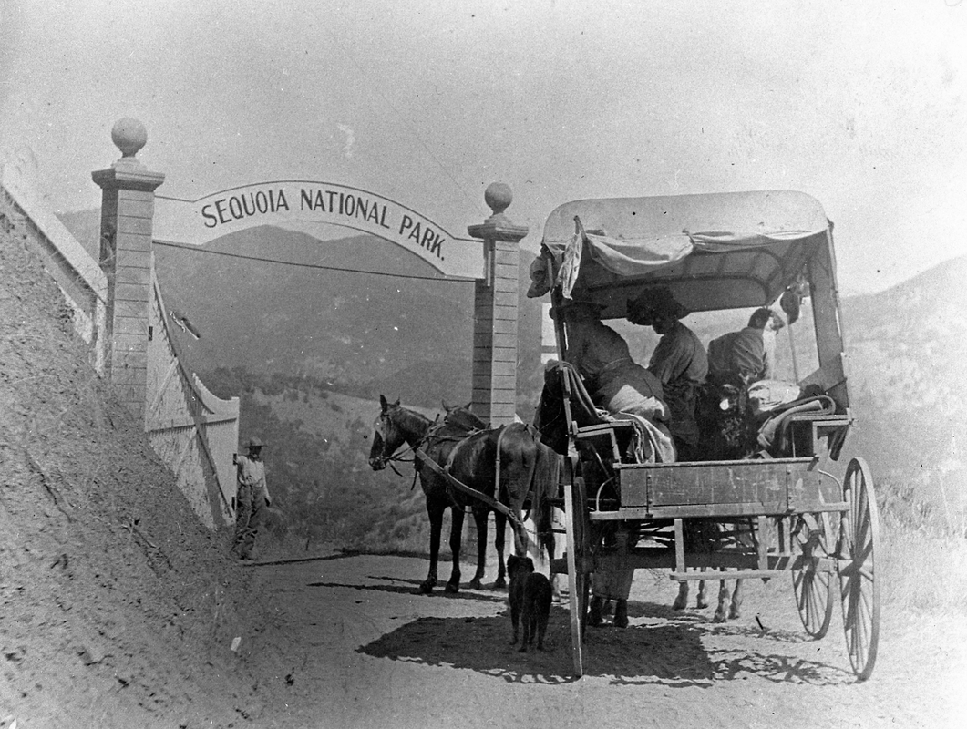
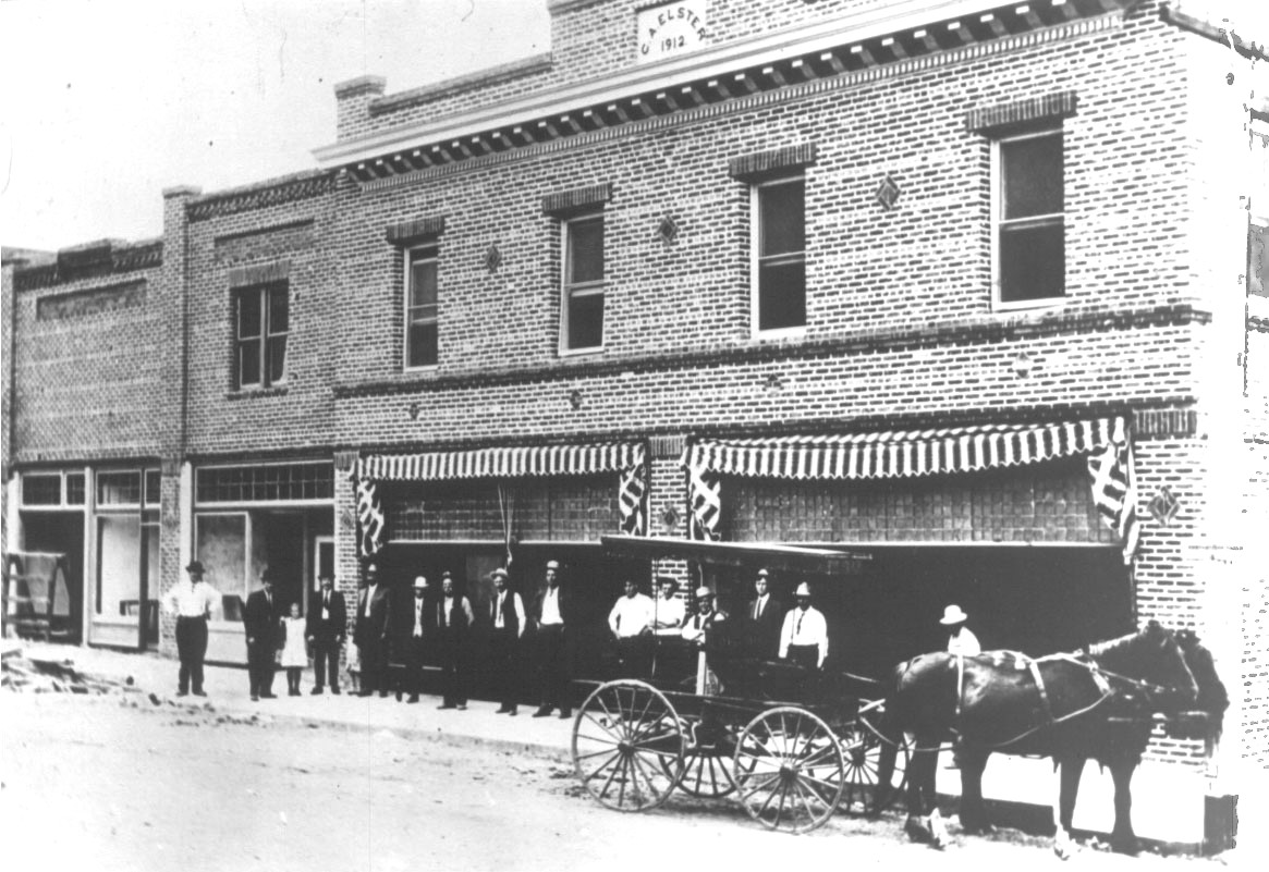
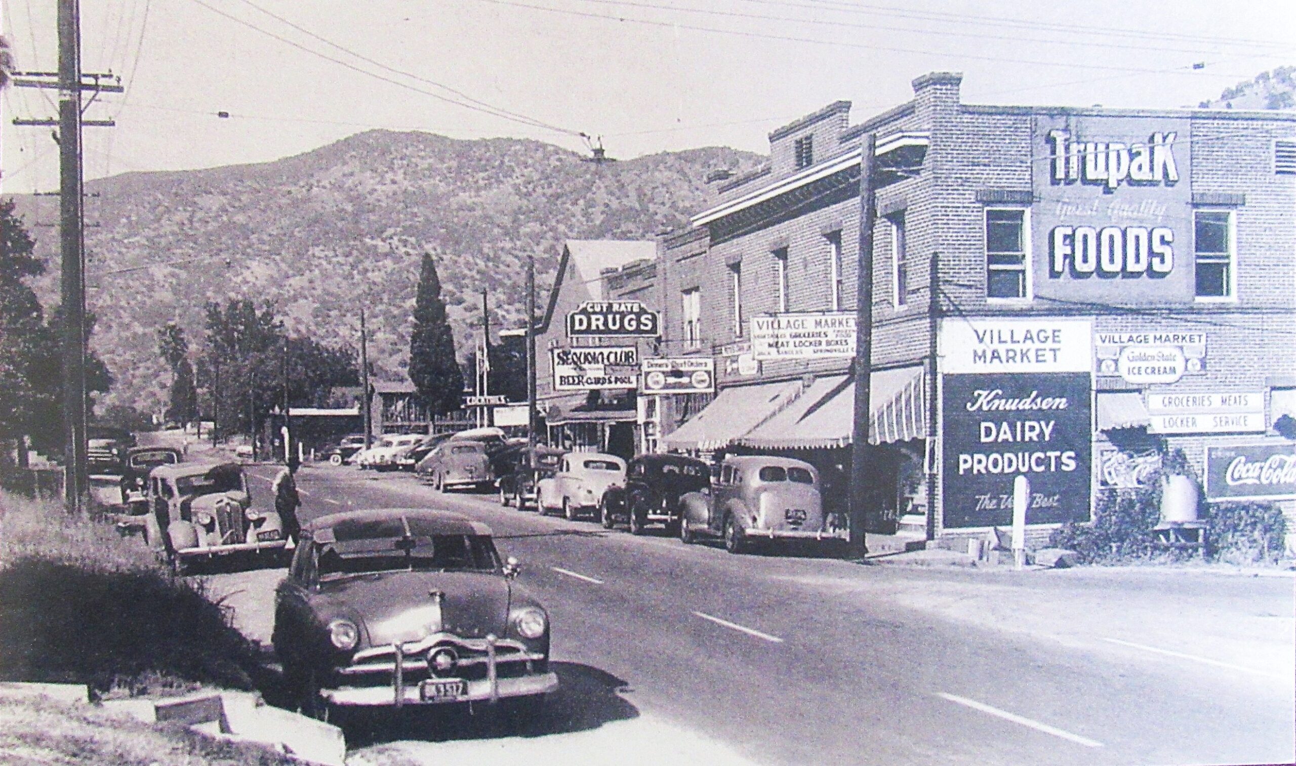
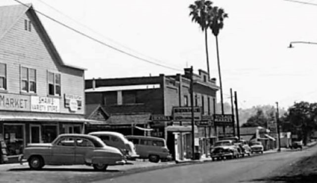
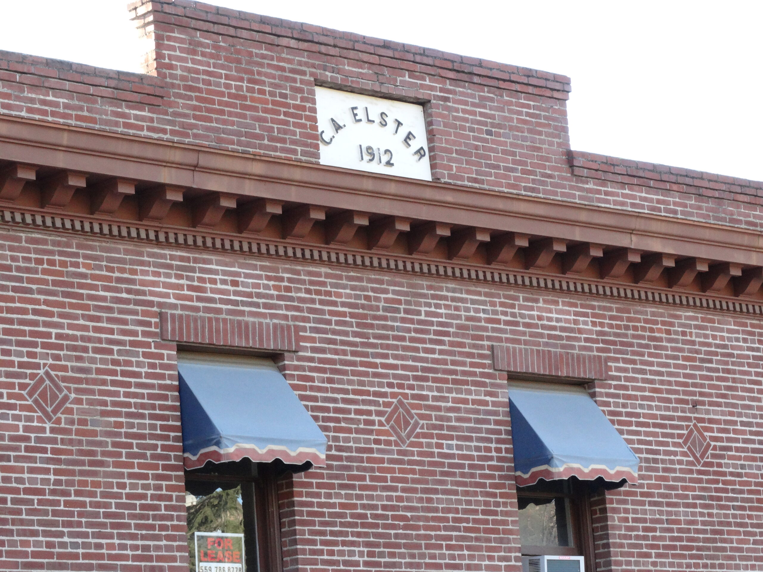
The advent of electricity and rail transport boosted Springville into the modern age. In 1911, the community’s first “permanent” structure, the Wilkinson Building (now the Springville Inn) was erected on Main Street (now Highway 190). In 1912, Charles, having acquired 47 acres of property in the townsite, built the prominent, two-story, brick Elster Building right across the street.

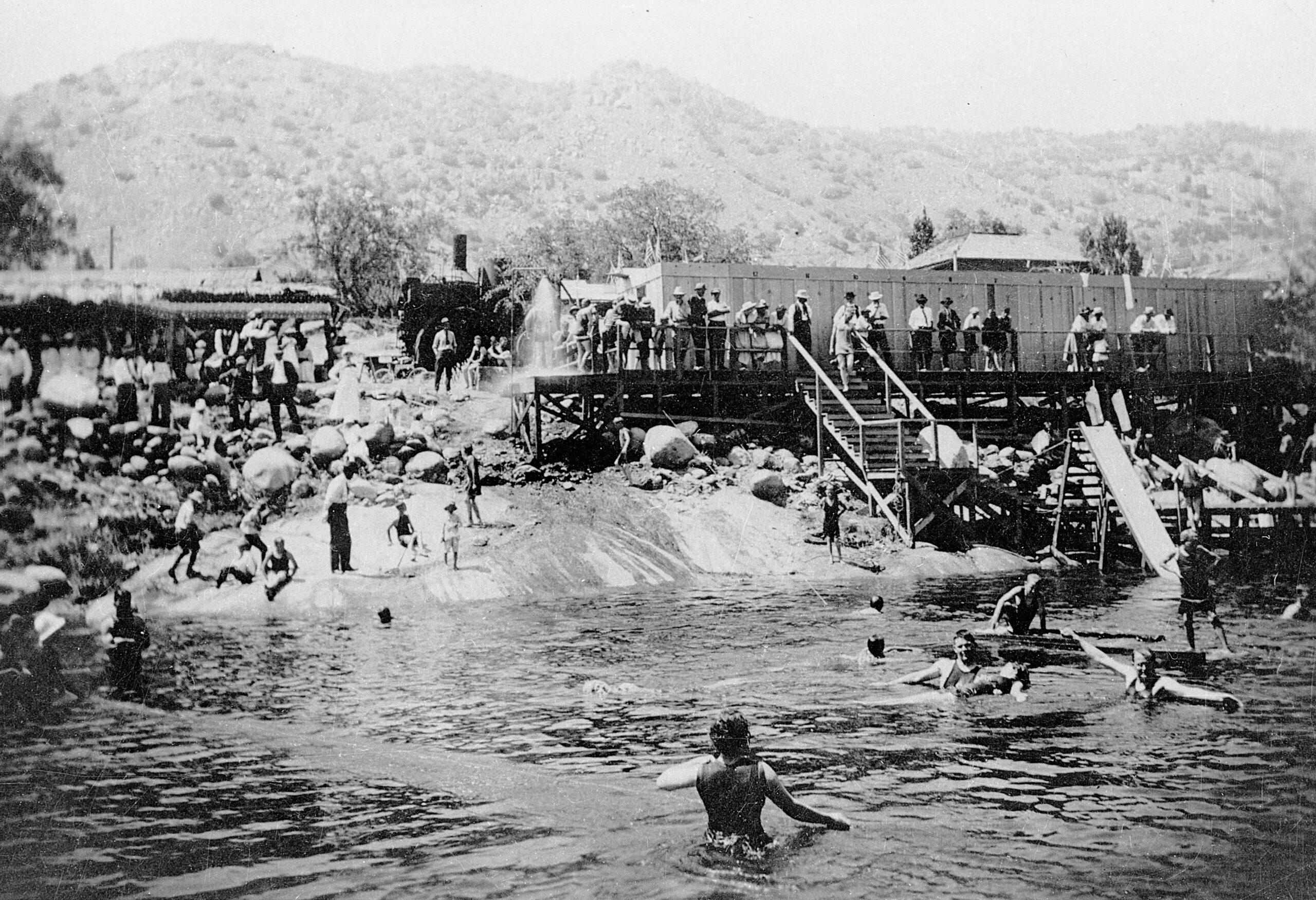
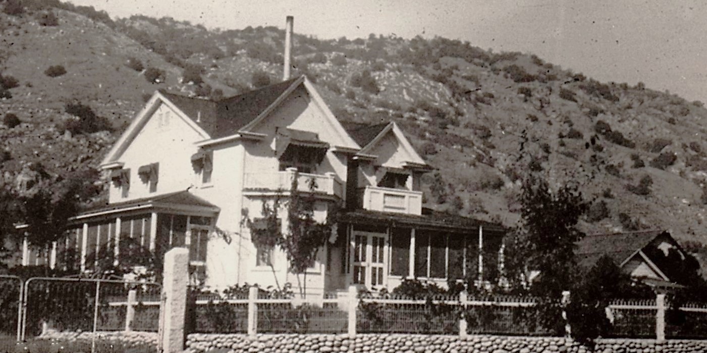
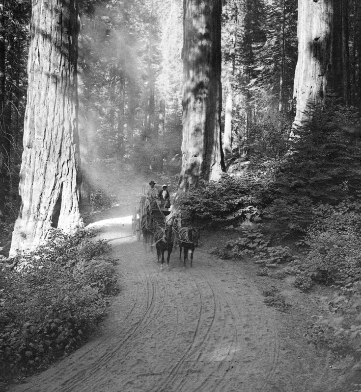
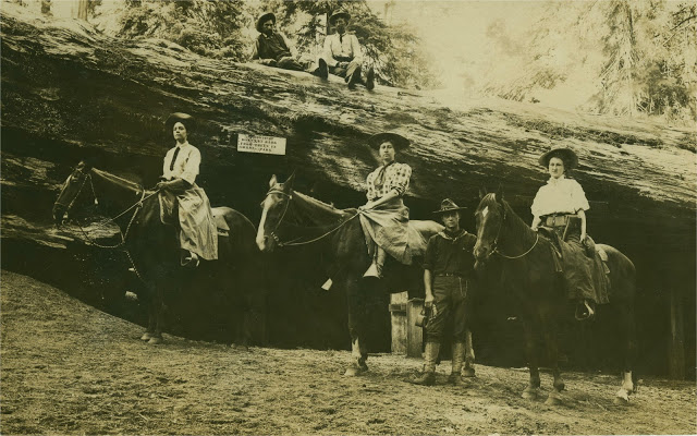
Springville became a weekend resort destination as the train and improving local roads sped visitors from the valley up to the dance halls on Main Street and at the nearby Soda Spring, tennis courts in town, and regular baseball games that drew large crowds. The new Elster Building became the retail center of Springville, and Charles became one of the largest taxpayers in the community. (He also owned an olive nursery, an orchard, and a large, comfortable residence near by.)
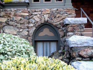
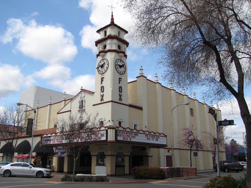
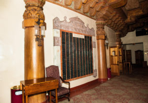
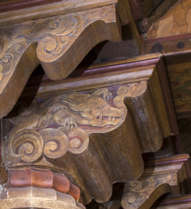
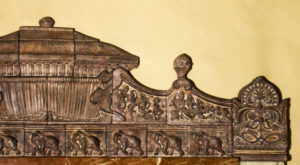
Located on a main corner, the 48′ x 60′ Elster building cost $12,000. It was designed in an impressive architectural style found in many small California towns of the period, and its handsome front and east facades remain virtually unchanged today.
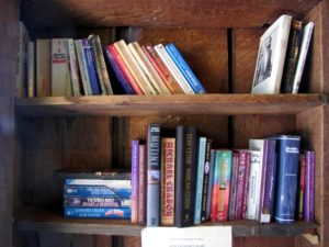
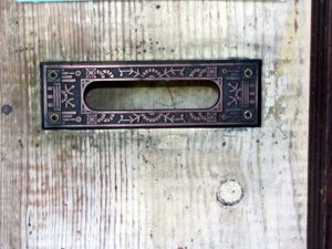
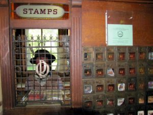
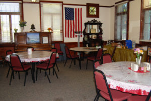
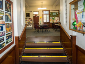
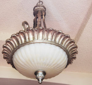
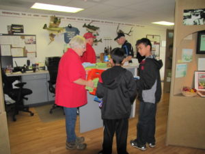
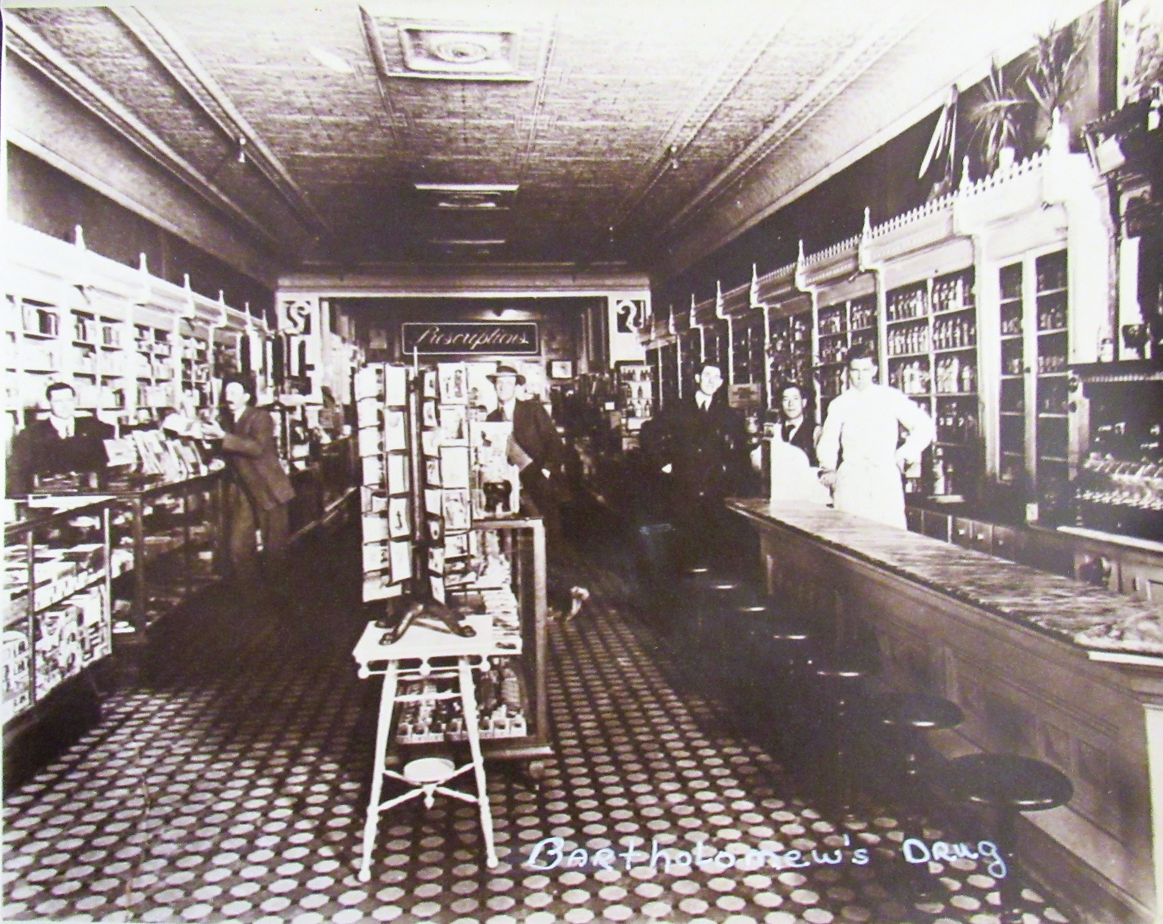
Its various tenants have included the Pioneer Bank (1912-1918), the post office, the Odd Fellows Fraternal Hall, a drug store, the first telephone in town (1912), a meat market, a restaurant, many different professional offices, a bar, a drywall company, a real estate office, a personal trainer, a grocery store, and the Springville Visitors Center. Its basement housed the first ice plant in town. Its second floor provided lodging for tourists and new arrivals to Springville. The solid, attractive, busy building marked the prosperity and growth of its community and rural Tulare County.
Charles got back into the lumber business with his Hot Springs sawmill by 1914, and then, in 1920, a new sawmill at Harper’s Point, near Mountain Home, that he established with A.M. Coburn. But hard times came again. Coburn died in an auto accident in 1921. Charles’s wife, Minnie, only 54, died of pneumonia in 1929. Less than three weeks later, the Elster Building was owned by the J.D. Miller Realty Company.
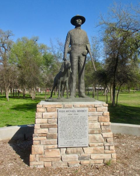
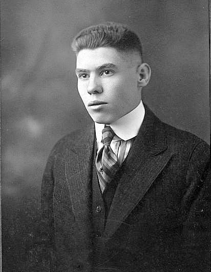
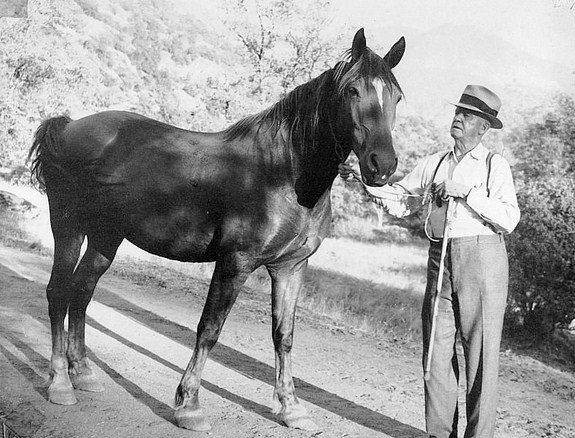
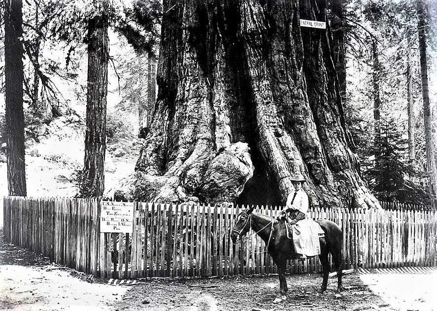
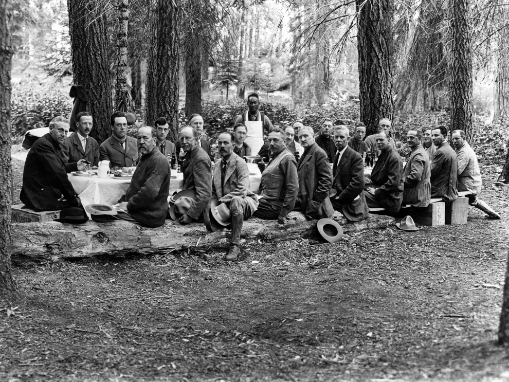
As America sank into its Great Depression in 1930, Charles and his son, Irvy, were regularly receiving delinquent tax notices on their Springville properties, including the Elster Building, which they no longer owned. Charles sold his mill property in 1941 and died two years later, at age 84. (Irvy, known today mostly as the storied “Hermit of SCICON,” never married; he was found dead in his mountain cabin in 1965.)
The Elster Building continued to change hands, in 1930, 1931, 1932, 1939, 1959, and 1964. In 1974, it was acquired by Leland E. Sweetser, an officer of Lesco Ltd., of Compton, California (who may have been urged by Springville residents to save the town’s principal building by acquiring and restoring it), and then by Lesco Ltd. in 1976.
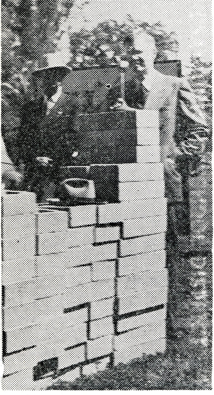
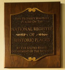
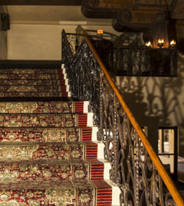
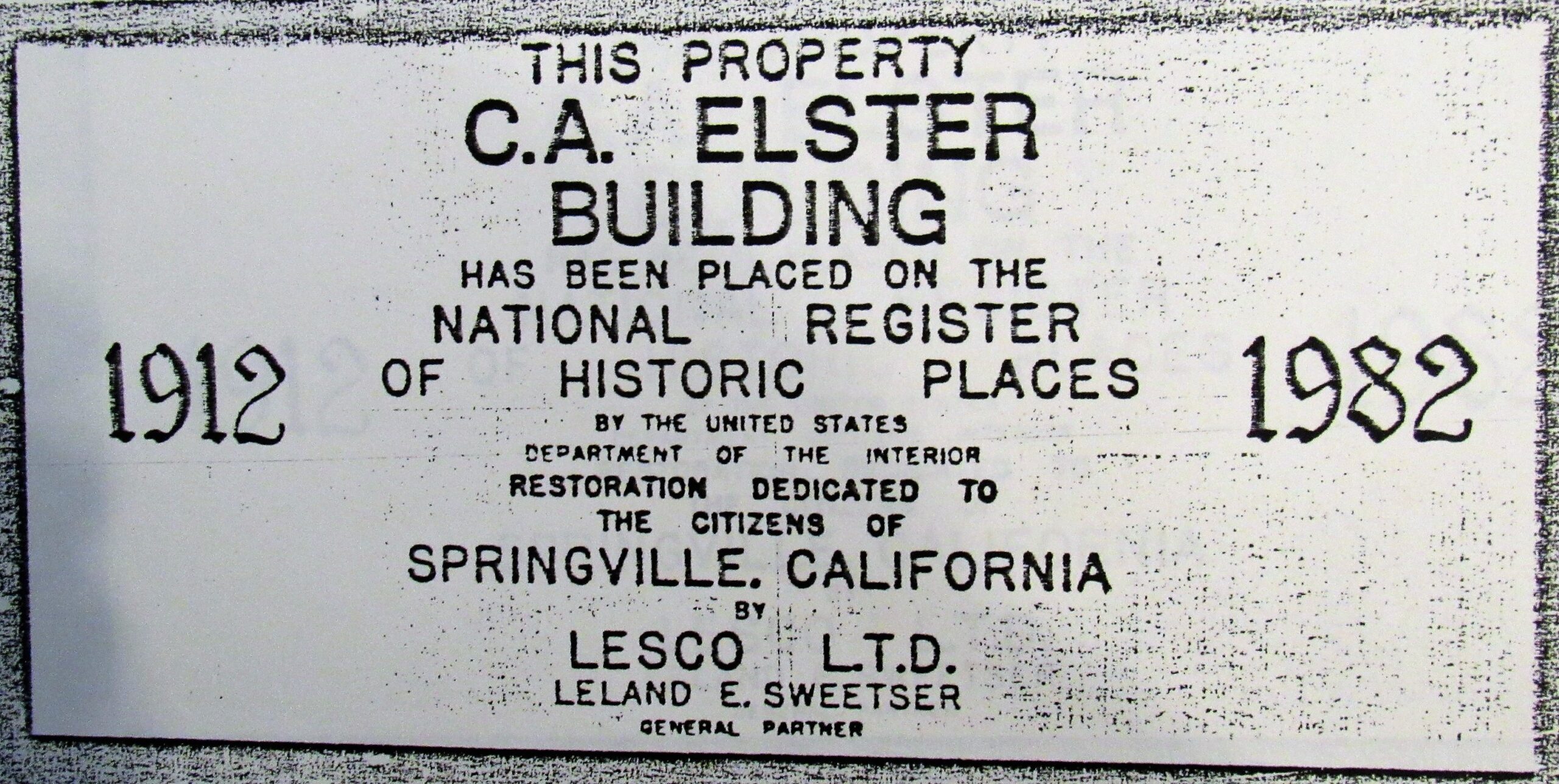
When Lesco purchased the Elster, then known as “the old Palace Hotel,” it had been condemned by the County and required major renovation to meet building codes for safety, plumbing, structural, and electrical requirements. Lesco spent over $250,000 on a new foundation, exit stairwells, structural support, and reconstructed office space, ensuring that the work would comply with the standards of the National Register of Historic Places, on which it got listed in 1982.
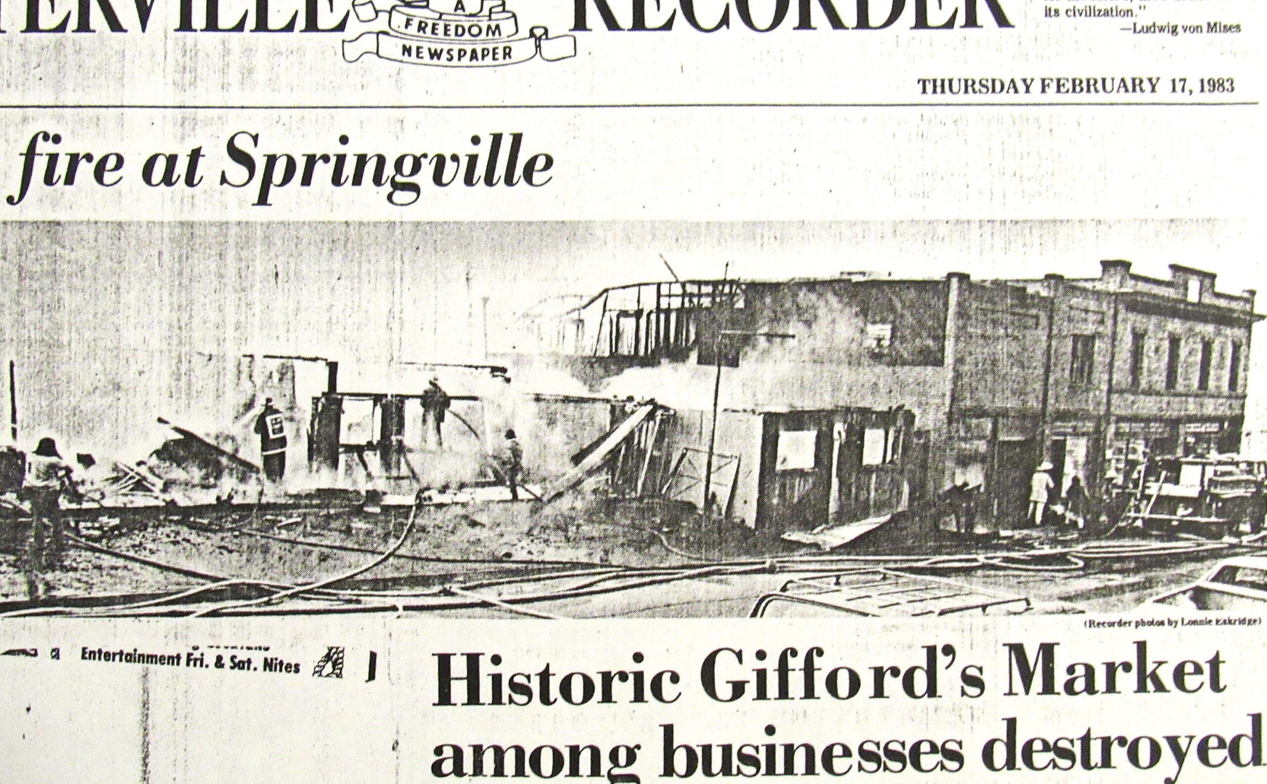
Fire damaged the building in 1983, but Lesco again restored it to NRHP standards, and in 1985 quitclaimed the deed back to Sweetser. In 1997, Robert Gillett of Porterville purchased the Elster, then sold it in 2003 to Max and Valerie Walden, the developers of Hanford’s Courthouse Square.
The Elster Building is currently owned by Bob Tucker, who had been coming to Springville since boyhood and loved the small community. In the 1970s, he bought a ranch nearby, and in 2019 he bought the building that he had long admired and considered to be a Springville focal point. “The building has good bones,” says Bob, who taught Industrial Decoration Arts for decades and enjoys doing historical restoration work himself. Bob’s nephew, Derrick Usher, a realtor, is managing the Elster from his upstairs office onsite. And so it appears that this classic edifice is once again in good hands for the next chapter of its long life as Springville’s landmark commercial center, still linking its community’s past to its future.
September, 2025
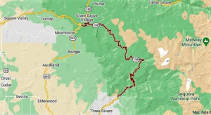
The Elster Building is located on the southeast corner of Hwy 190 and Tule River Dr. in Springville, 32588 CA-190, Springville, CA 93265.
From Visalia, go east on Hwy 198 to its junction with Hwy 65 (near Exeter). Go right (south) on Hwy 65 to its junction with Hwy 190. Exit onto Hwy 190 and go east toward Springville. In Springville, see the Elster Building on the right (south) side of the highway, at its junction with Tule River Drive.
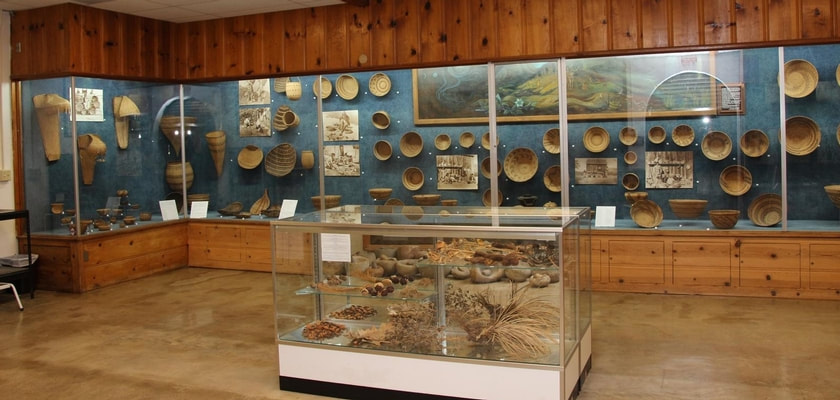
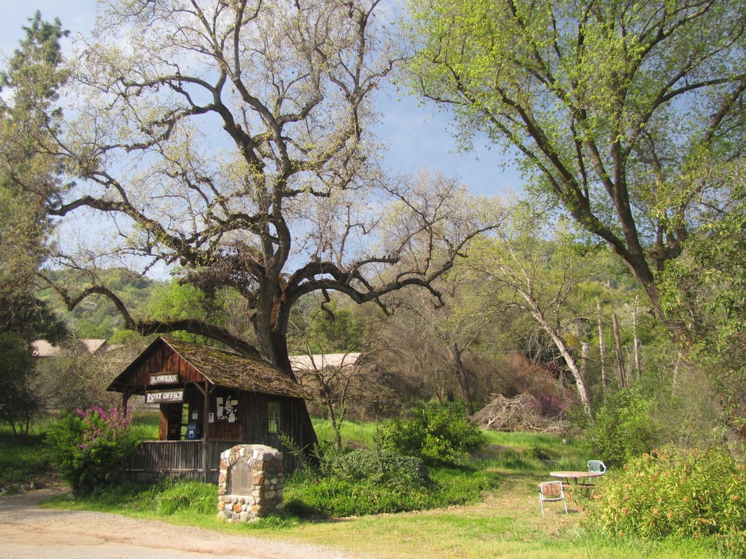
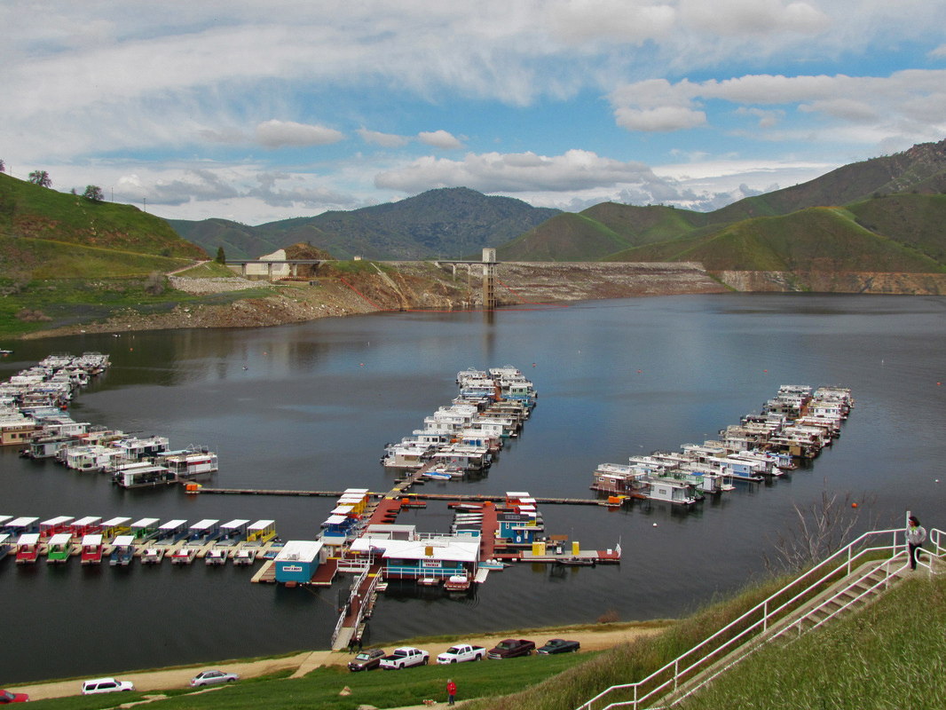
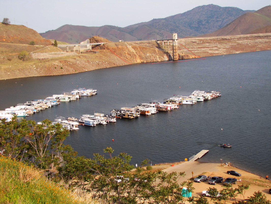
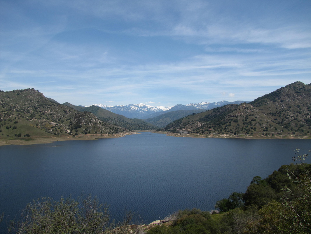
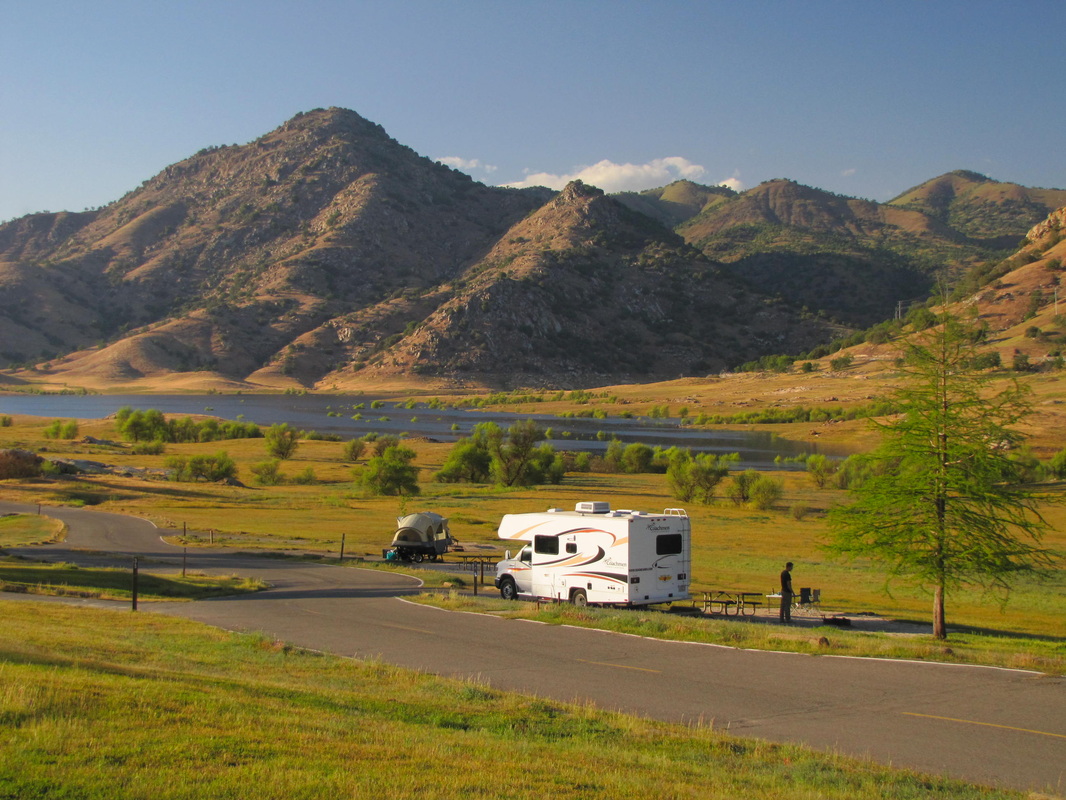
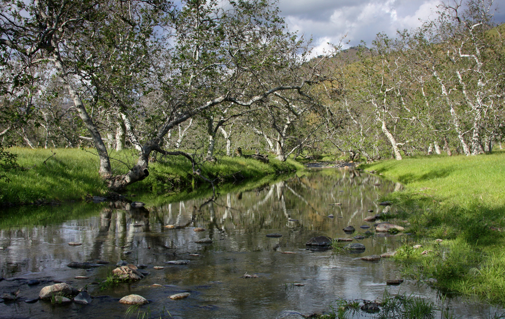
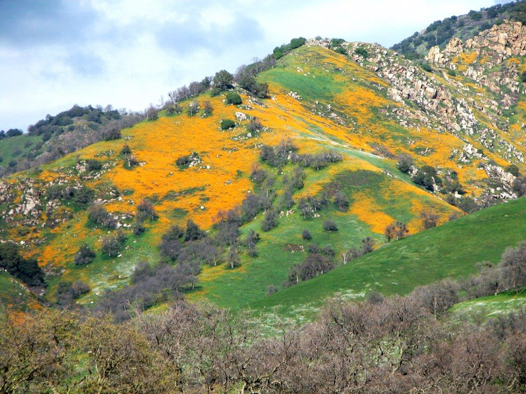
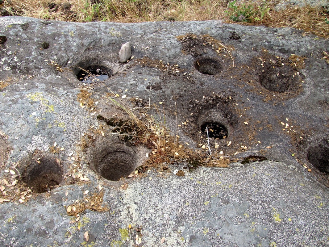
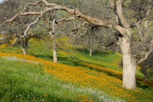
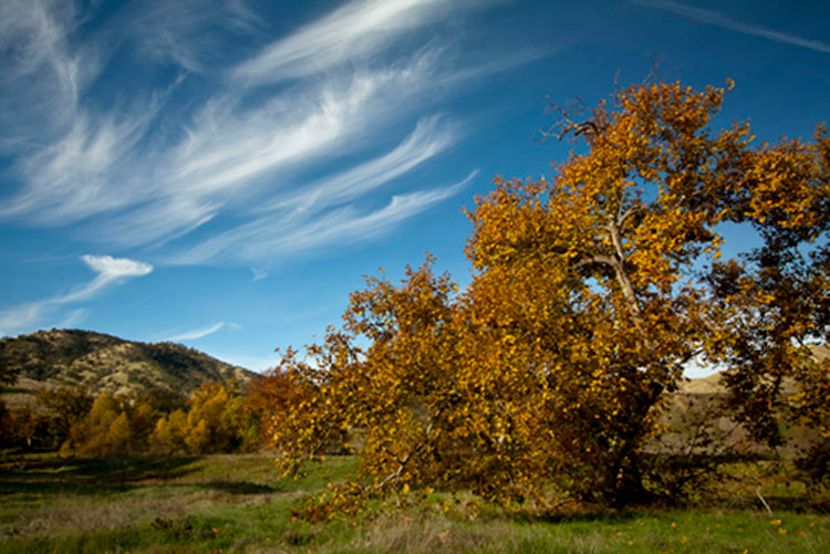
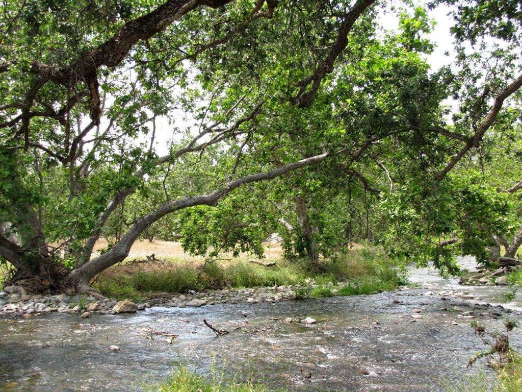
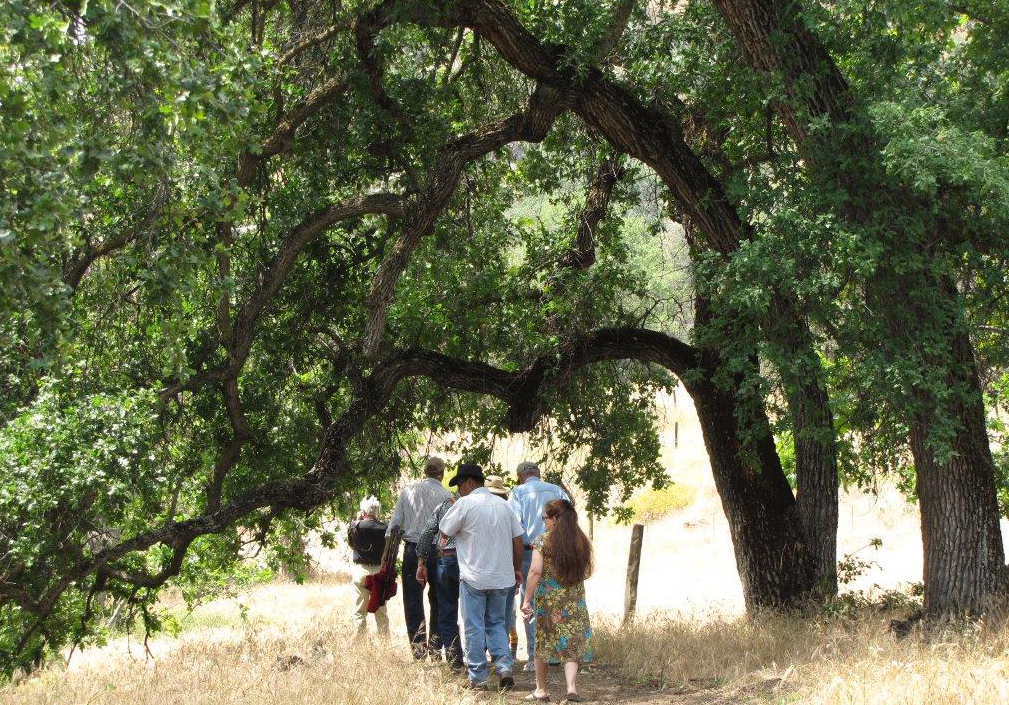
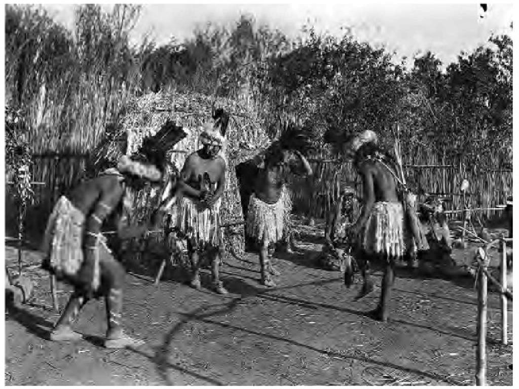
Nearby Treasures: Springville Historical Museum, River Ridge Ranch & Institute, McCarthy Blue Oak Ranch Preserve, Circle J-Norris Ranch Preserve, SCICON, Success Lake.